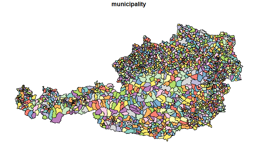
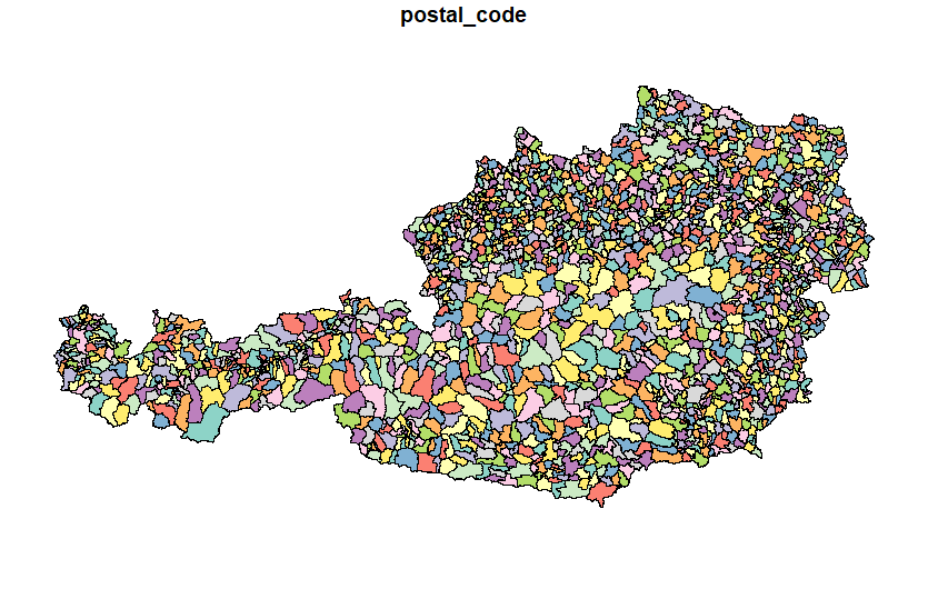
This repository aims to create and manipulate Austrian shapefile into multiple levels, such as state level (first-level administrative divisions of Austria), municipality level (third-level administrative divisions of Austria) and postal code level. The code was written in both Python and R; both codes are analogous.
Austrian shapefile - municipality level (third-level administrative divisions of Austria)
Austrian shapefile - postal code level
python -m pip install geopandas matplotlib numpy pandas requests xlrdinstall.packages(c("readxl", "sf", "tidyverse"))Statistik Austria - Regionale Gliederungen
Statistik Austria - Division of Austria into Municipalities (Shapefile)

