COVID-19 Map Visualization
The idea of this project is to help somehow to slow down the spread of coronavirus.
Display a map with people infected per area and their close contacts.
Using Data from Ireland with Fake People Names - https://services1.arcgis.com/eNO7HHeQ3rUcBllm/arcgis/rest/services/CovidCountyStatisticsHPSCIreland/FeatureServer/0/query?where=1=1&outFields=*&outSR=4326&f=json
Requirements
- NEOJ4(NoSql)
- Java
- Maven
Getting Started
Run NEO4J
docker run -it --publish=7474:7474 --publish=7687:7687 --env=NEO4J_AUTH=none --volume=$HOME/neo4j/data:/data neo4j
Run Spring Boot
mvn spring-boot:run
Clean NEO4J data
sudo rm -rf ~/.neo4j/data/
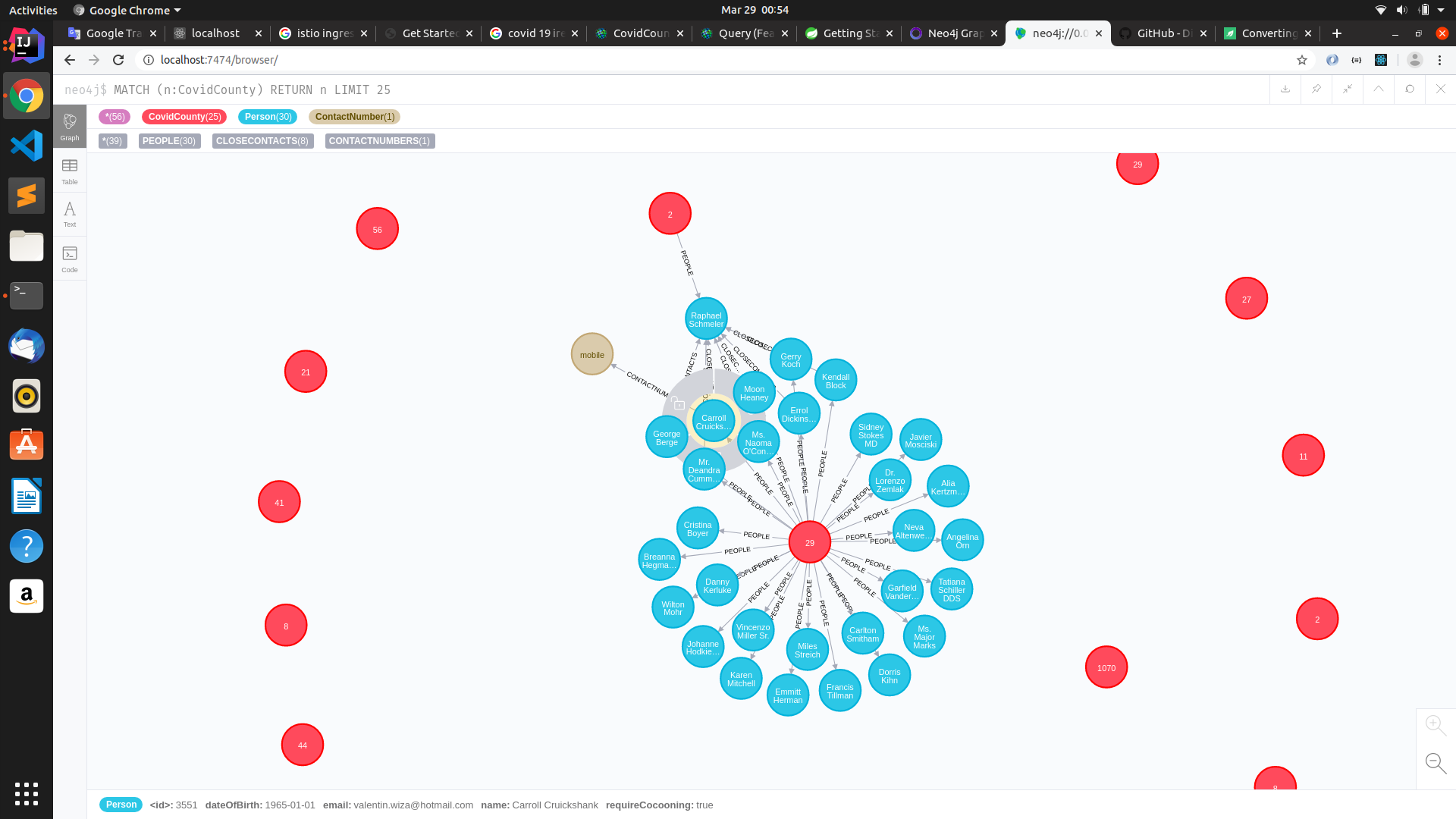
Screenshot
Reference Documentation
For further reference, please consider the following sections:
Guides
The following guides illustrate how to use some features concretely:
