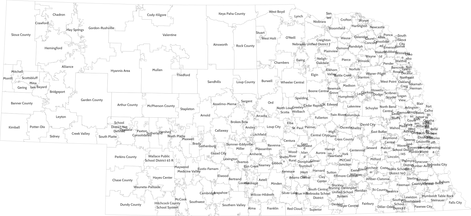
This program renders shapefiles (and other OGR-compatible datasources) as vector graphics (SVG). Features can be styled programmatically using Lua. I've used it as a tool for quickly generating simple maps for use in educational and research settings.
To build vfr, you need the following dev packages:
- Cairo
- Lua-5.1
- OGR/GDAL
On Debian/Ubuntu you can do:
apt-get install libcairo2-dev libgdal-dev liblua5.1-0-dev
vfr: the command line vector feature renderer

usage:
  ./vfr fonts
  ./vfr inform <source>
  ./vfr render [-out outfile] -ht INT | -wd INT path [-fg 0x000000] [-bg 0x000000] [-lua luafile] <source>
  ./vfr version

example:
  vfr render -out mymap.svg -wd 400 -lua myluafile.lua /home/johnsmith/geodata/myshapefile
- Style features using embedded Lua. See ./etc/style0.lua and ./etc/style1.lua (or the example below).
- Default styles are drawn from a global variable named
vfr_feature_style. - Feature styles may also be programmatically altered using a global function called
vfrFeatureStylewhich takes one argument, a table with fields from the feature (obtain these usingogrinfoor a similar tool). - When using multilayer datasources (e.g. via an OGR VRT file), use the special feature table member
_vfr_layerto find out which layer a feature belongs to (see example below).
Example:
- The following is a Lua file for use with VFR. When used with a multilayer OGR datasource including Nebraska school district boundaries, it plots the districts with white fill and light gray stroke, cleans up the district names, and labels each (see the map).
vfr_style = {
    stroke = {
        r = 127,
        g = 127,
        b = 127
    },
    fill = nil,
    size = 1
}

function vfrFeatureStyle(ftr)
    fstyle = {
        stroke = {
            r = 0,
            g = 0,
            b = 0
        },
        fill = {
            r = 255,
            g = 255,
            b = 255
        },
        size = 1,
        label_place = 0,
        label_fill = { r=255, g=0, b=0 }
    }

    if(ftr._vfr_layer == "schooldistricts") then
        fstyle.fill = { r=255, g=255, b=255 }
        fstyle.fill_opacity = 100
        fstyle.stroke = { r=96, g=96, b=96 }
        fstyle.stroke_opacity = 50
        fstyle.size = 1
        fstyle.label_fill = { r=127, g=127, b=127 }
        fstyle.label_pattern = "dots"
        fstyle.label_place = 1
        fstyle.label_text = ftr.NAME:gsub("(%s+Public Schools)", ""):gsub("(%s+Community Schools)", ""):gsub("(%s+Schools)", "")
        fstyle.label_fill = { r=32, g=32, b=32 }
        fstyle.label_fontdesc = "Cabin Semibold 16"
        fstyle.label_opacity = 80
    elseif(ftr._vfr_layer == "blocks") then
        fstyle.stroke = { r=33, g=64, b=110 }
        fstyle.fill = { r=66, g=127, b=221 }
        fstyle.fill_opacity = 80
        fstyle.size = 1
    else
        fstyle.stroke = { r=127, g=127, b=127}
        fstyle.label_fill = { r=127, g=127, b=127}
        fstyle.label_place = 1
        require 'pl.pretty'.dump(ftr)
    end

    return fstyle
end
Note the font description (Cabin Semibold 16). For a list of font families and faces available to vfr on your system, use the fonts command.
For now, vfr outputs SVG, which can be rasterized by programs like rsvg-convert.
- Interpolation and other spatial tools (in lua)
- Legends
- More epimap options (bgcolor, etc.)
...


