The specific objectives of this project are:
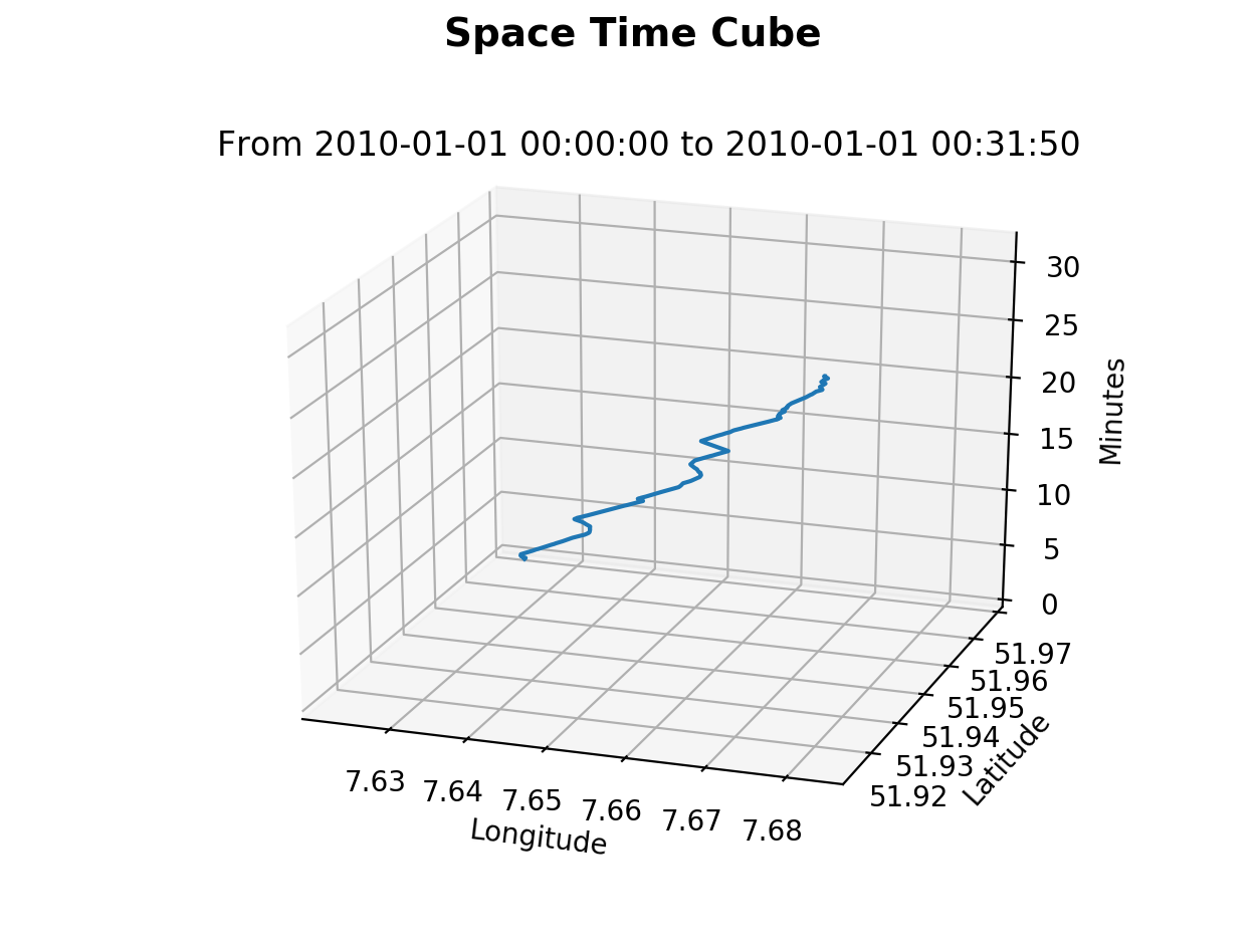
- To visualize 3D Space Time Cube from a given GPS track
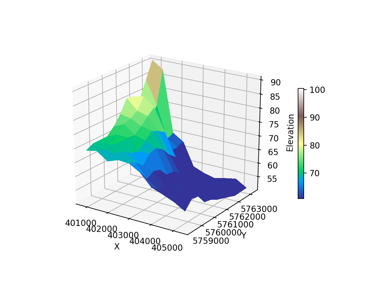
- To visualize 3D map (flying carpet) from a Digital Elevation Model (DEM)
A 3D map (flying carpet) from a small dataset of maximum 100 meters elevation in the NRW region of Germany.
Space Time Cube plot with sample dataset which is a GPX track route with latitude, longitude and time information available
The project uses:
- Python v3+
- Matplotlib v3.0.3
- GDAL v2.3.3
- OGR v2.3.3
- Numpy v1.16.2
After installing all dependencies in your Python's environment, execute the desired script using below commands
python demPlot3d.py
python spaceTimeCube.py

