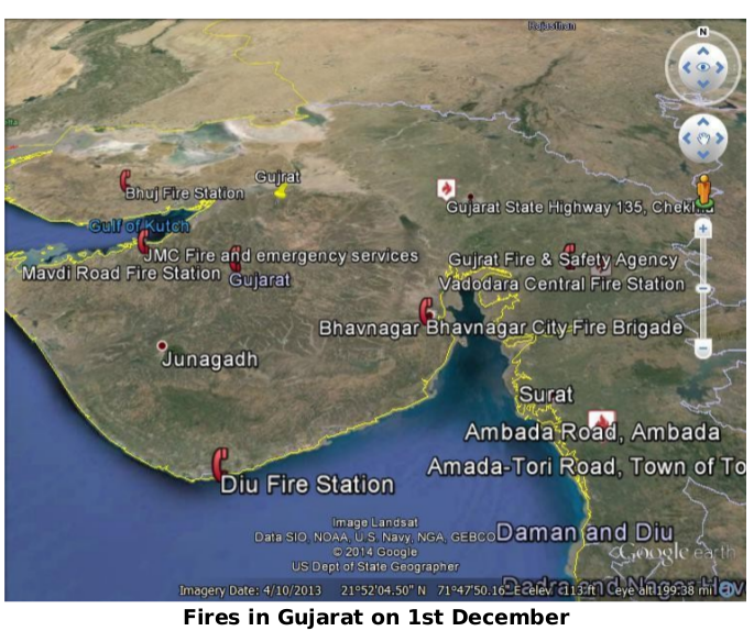
Python Scripts to Crawl and Parse Realtime MODIS FIRMS Spectroradimeter Data from NASA.gov and Plot it on Google Earth. The app makes use of MODIS (The Moderate Resolution Imaging Spectroradiometer) aboard NASA’s Aqua and Terra satellites, which orbit the Earth sending back high resolution images and spectroradiometer readings, which are made publicly available in their website
An extention to this.
The scripts perform these basic functions:
- Crawling latest satellite images and their metadata from NASA
- Crawling FIRMS (Fire Information For Resource Management System) Shapefiles of active fire hotspots
- Parsing these shapefiles and extracting essential parameters
- Plotting the fire hotspots on the map in the basis of fire confidence intervals
 For further details, see the attached Report
##Results
This repository is no longer maintained. Contributions are welcome!
MIT © Samiran Roy

