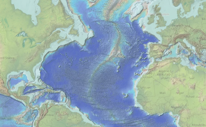
Convert Topopgraphy Raster to Tiles with Hillshade
./get_gmrt.sh- Downloads topography data from https://www.gmrt.org in tiles of approximately 30 degres- These files are about 200 MB a piece
./fix_180.sh- Shift tiles into -180/180 longitude if necessary./make_tiles.sh- Create hillshaded topography and create tiles for a leaflet tilelayer / slippy map./png2webp.sh- Convert and shrink all png files to webp using cwebp
- Any raster topography can be used for this process
- Processing is done using https://gdal.org/
- Rasters with longitude values outside of -180/180 appear to be lost in the procedure in
gdal2tiles.py - Hillshaded topography is accomplished by creating
- a color-relief using gdal2dem
- a hillshade using gdal2dem with a multidirectional shading
- scale values
-sand-zcan be changed depending on the data units and desired output
- scale values
- a gamma correction is applied to the hillshade using gdal_calc.py
- the gamma corrected hillshade and color-relief are combined using an overlay function
- Reference: https://gis.stackexchange.com/a/255574
- Creating of the tiles can take a long time
- The output tiles directory should have
leaflet.htmland other various html files to easily view the output - Any artifacts in the color-relief image will propagate into the resulting tiles.
- Colormap is taken from GeoMapApp and the default GMRT colorscale
- The land and ocean scales were merged
- Colored at shallow water depths were changed from a dark green to very light/almost white
BSD 2-Clause Simplified License
