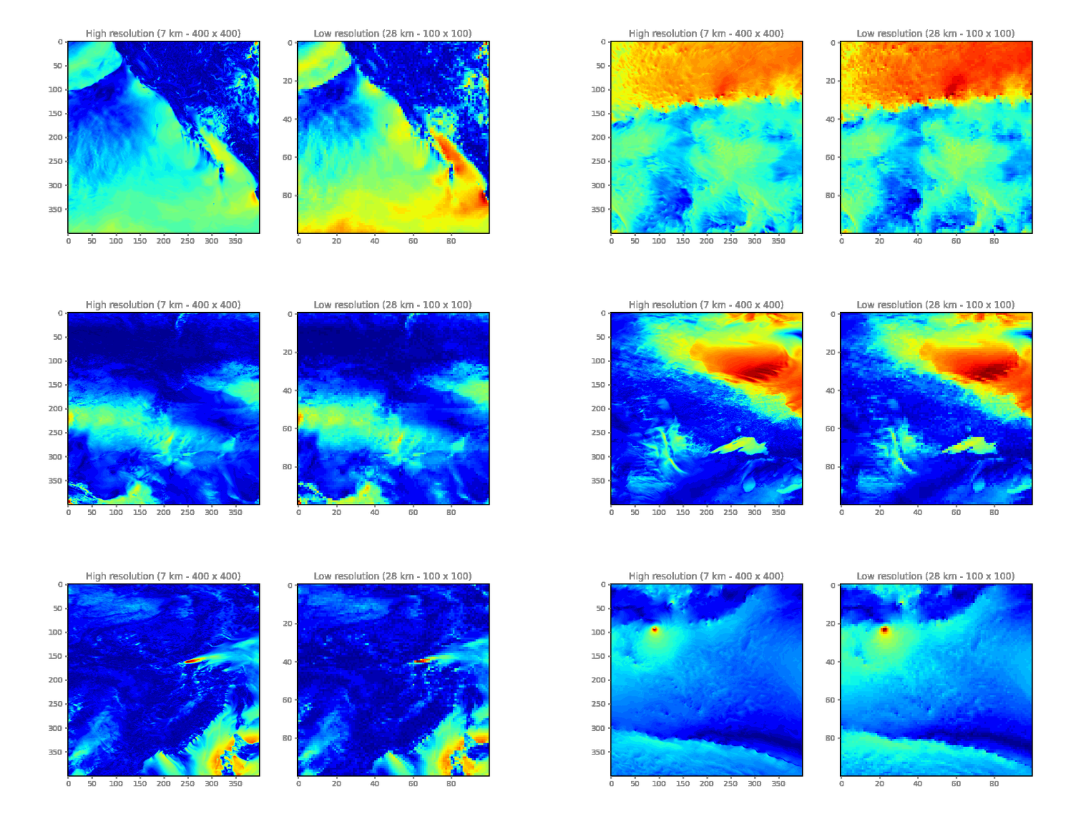
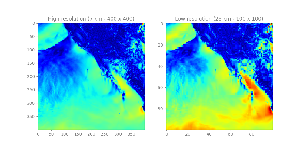
The WindSR Dataset contains more than 22,000 pairs of low-resolution/high-resolution wind speed images. The dataset is divided into two sets: a training set and a testing set. The training set encompasses 20,046 samples, each consisting of two wind speed measurements. One measurement comprises a high-resolution image with dimensions of (400, 400), representing wind speed data at a resolution of 7 km. The second measurement consists of a lower-resolution image with dimensions of (100, 100), representing the same wind speed data but at a resolution of 28 km. The testing set contains 2,102 samples and mirrors the structure of the training set, with each sample comprising a pair of wind speed measurements at different resolutions. WindSR dataset can be used for training super-resolution models focused on satellite data.
Here is a sample HR/LR pair from the WindSR dataset:
To understand how the dataset is prepared, you can read our paper published in the IEEE Access journal.
WindSR: Improving Spatial Resolution of Satellite Wind Speed Through Super-Resolution»
To load the datasets and check their shapes, you can use the following Python code:
import numpy as np

# Load the arrays
HR_TRAIN = np.load('hr_train.npy')
LR_TRAIN = np.load('lr_train.npy')

# Print the shapes
print('HR_TRAIN shape:', HR_TRAIN.shape)
print('LR_TRAIN shape:', LR_TRAIN.shape)- If you use this dataset in your research, please cite the following article. Thank you!
@ARTICLE{10174644,
  author={Kumar, Ashutosh and Islam, Tanvir and Ma, Jue and Kashiyama, Takehiro and Sekimoto, Yoshihide and Mattmann, Chris},
  journal={IEEE Access},
  title={WindSR: Improving Spatial Resolution of Satellite Wind Speed Through Super-Resolution},
  year={2023},
  volume={11},
  number={},
  pages={69486-69494},
  doi={10.1109/ACCESS.2023.3292966}}


