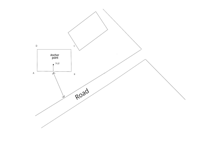
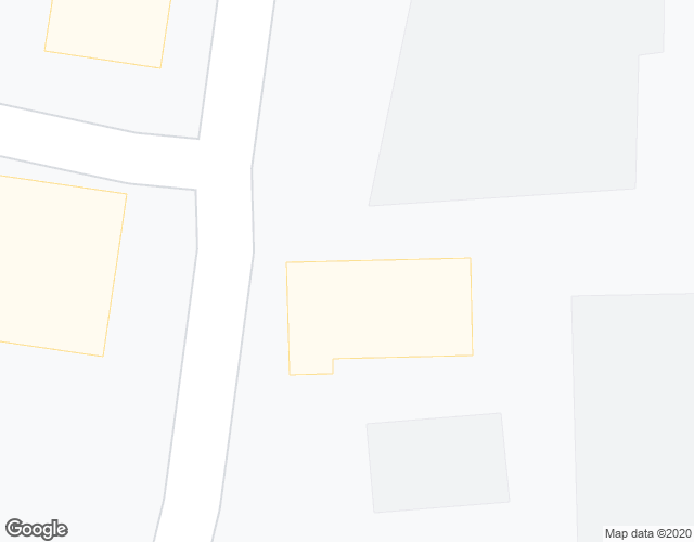
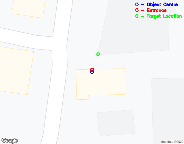
In case of the autonomous decision using the google maps to find the nearest road or building, considering the object in the centre of the image where the global location coordinates known. It needs to find the nearest building or road to get the direction. Assuming google maps does not provide any API for this nearest location detection, it can be done using the image processing technique to solve this Location intelligence problem. if the centre of the location falls within any building, find the nearest wall as entrance, and from the entrance check if there is a road or building which is nearest & mark the location of the target object. It is implemented in this project as a pixel level coordinate and It can be converted into the lat, long information if we know the Ground distance sample of the image and UTM metrics using GDAL.
- Read the Image
- Centre of the image as an object current Location
- Classify the image into 3 objects as Building, Road & Vegetation using HSV slicing method
- Find if the centre of point falls within this any of the classes/ contours
- If it falls on the road, find the nearest building located
- If it falls none of the classes above, find the nearby building or road
- If it falls within the building, find the nearest side of the wall within the building, considering that point as an entrance and find the nearest building or Road from the entrance
- Mark them in the Image and print the distance & target classes.
- numpy
- math
- cv2
- skimage
- matplotlib
- shapely
use requirements.txt to install the packages on your environment
pip install -r requirements.txt
tmp_1.png   57.940  building
tmp_2.png   13.000  building
tmp_3.png   47.127  building
tmp_4.png   12.083  building
tmp_5.png   130.000  road
tmp_6.png   14.560  road
tmp_7.png   8.544  building
tmp_8.png   41.000  building
tmp_9.png   19.849  road


