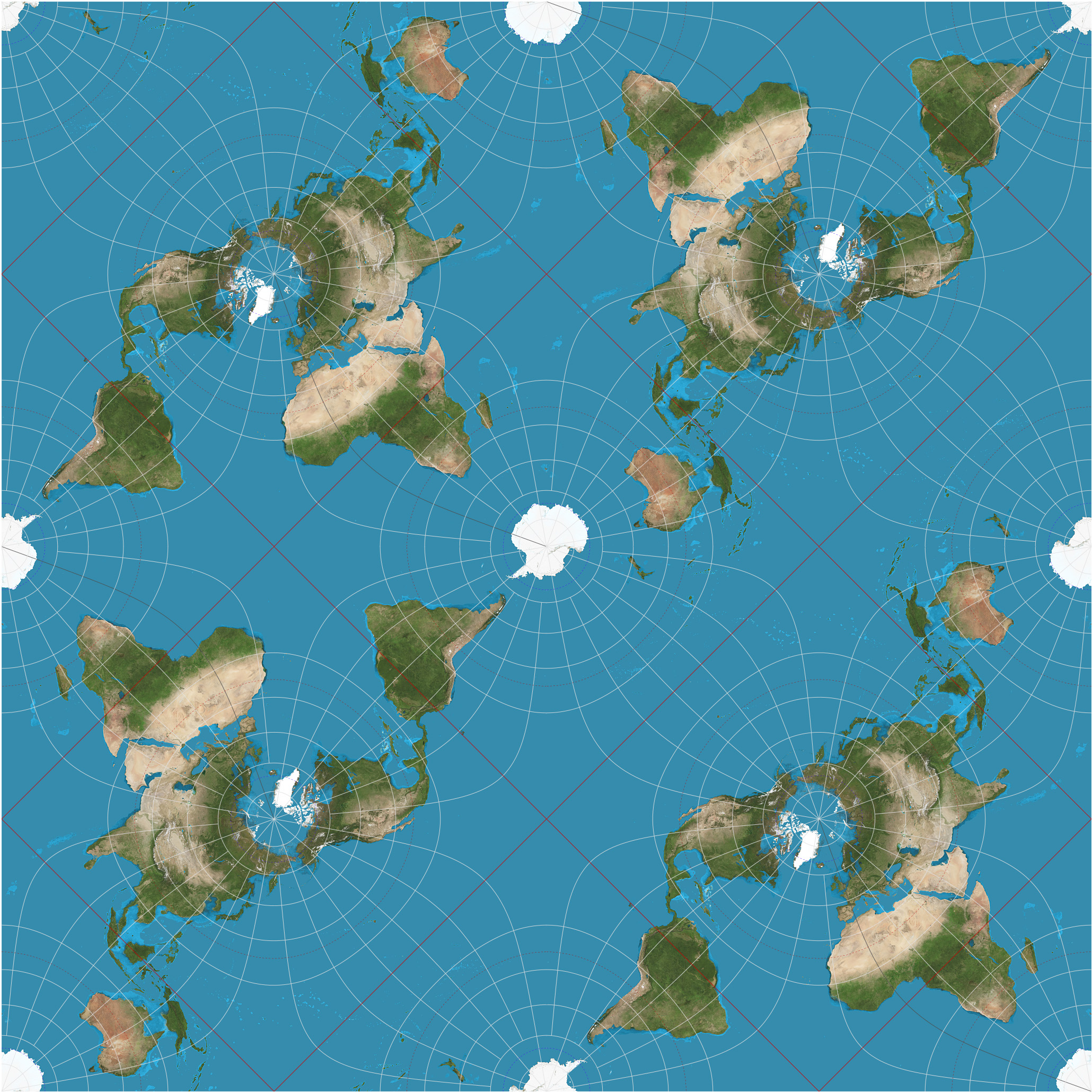
I wanted a shower curtain with a map of the world with a projection other than Mercator.
I couldn't find one (in my lazy search) that was an interesting projection and covered the whole curtain. Since it's possible to print anything because the internet, I decided to make my own.
I decided on a tessellated Peirce Quincuncial projection, e.g.
Since custom, might as well go all in, programming ftw
Some resources:
First - I copied what Jason Davies did (including stealing his topojson).
It would be cool if the maps each showed something different and interesting. Some things I think might be interesting:
- Country names
- Water
- Population
- Wealth
Disclaimer: I'm a map dilettante and know nothing about d3. Everything here is done wrong.
