Green GIS Server is a light server for publishing shapefile. Using node-gdal to convert to JSON, it stores feature collection in mongodb. And also, it handles requests for geojson data\image tile data\vector tile data.
- publishing shapefile (just support shapefile now)
- return all or part of feature collection by geojson format
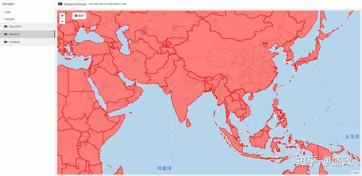
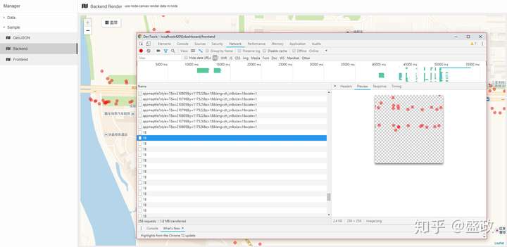
- backend render, using node-canvas to generate dynamic image tile
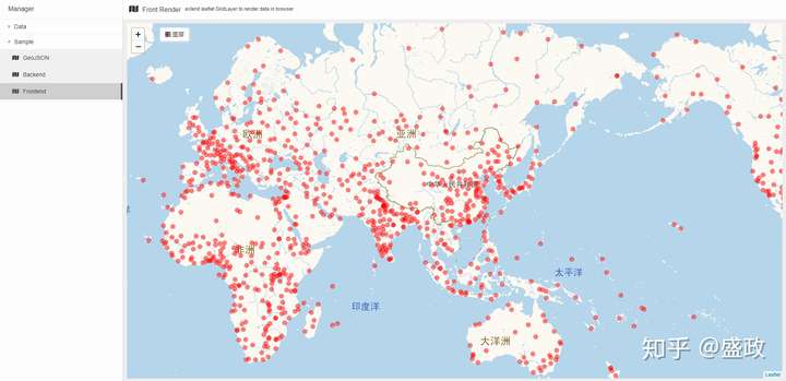
- frontend render, return feature collection according to tile's x/y/z
- mongodb + mongoose
- node-gdal
- node-canvas
- npm install
- download and install mongo
- config.json to config mongo connection
- start
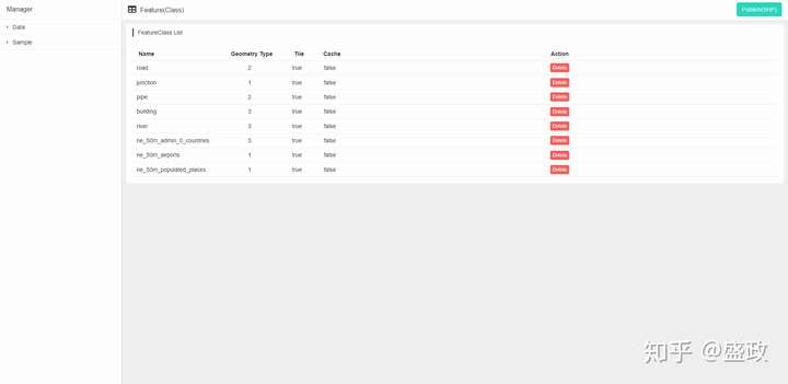
Green GIS Manager is a sample application and a manager to manage all published feature collection, you can test geojson\backend\frontend menu for all of the features.
Just for personal study and research.


