IBM Call For Code 2019 in Shanghai. We (Jin Li, Yaoming Wang, Bowen Shi, Jixiang Luo) join this activity and make up this idea.
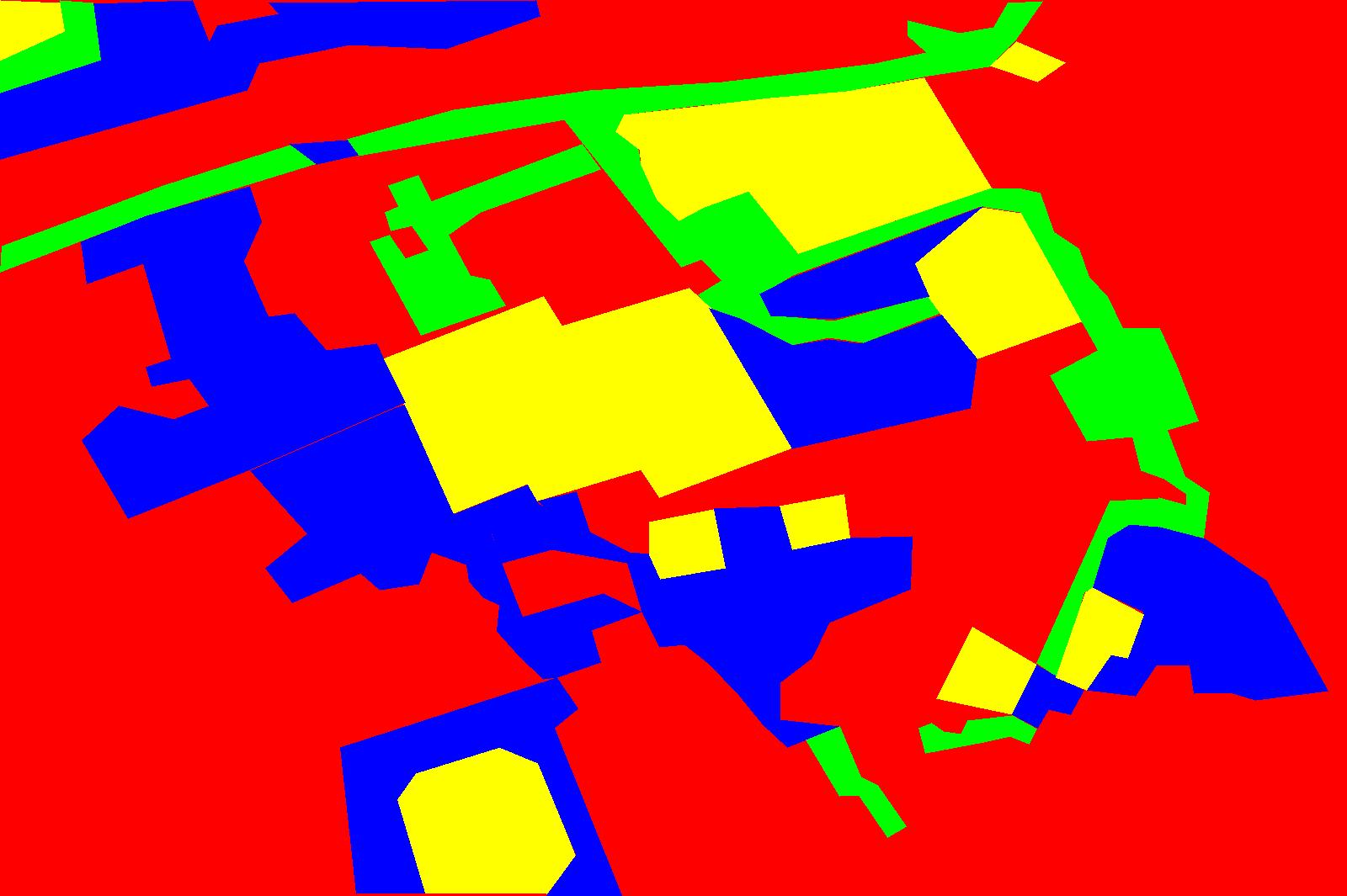
Since images or videos of post disaster are unaccessible for us by now, our models was trained with weakly related dataset. Thus, the performance of our model are uncertained. We use labeled image as the result of semantic segmentation model for the sake of presentation.
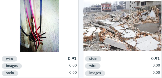
In this section, What we do is just collecting the related images with dangerous objects, such as leakage wire, sharp item, corrupted house and so on. Then we feed them into the Watson for visual recognition on IBM cloud. Here is our outcome for classifying images and detecting objects:
- Image classification:
For now, we have not trained the whole model of object detection, we just divde the input image into serveral pieces. And then we classify each piece and label the object, at last merge these pieces. Here are our examples for detection:
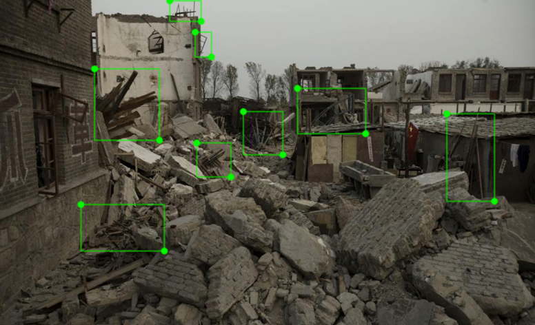
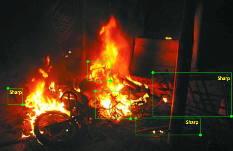
More details is here!
Details for this part could see here!.
cd workspacce
python ss-bmp.py
matlab
astart
-
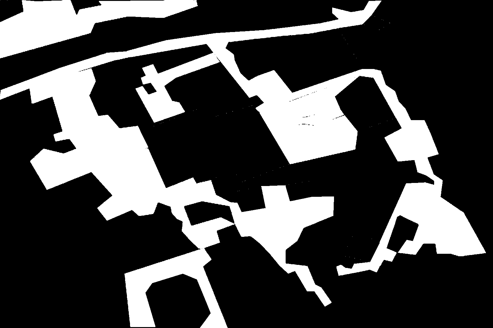
create_mask: Creat 0/1 mask for the initial picture.
-
color.py: Color the 0/1 mask for demonstration.
-
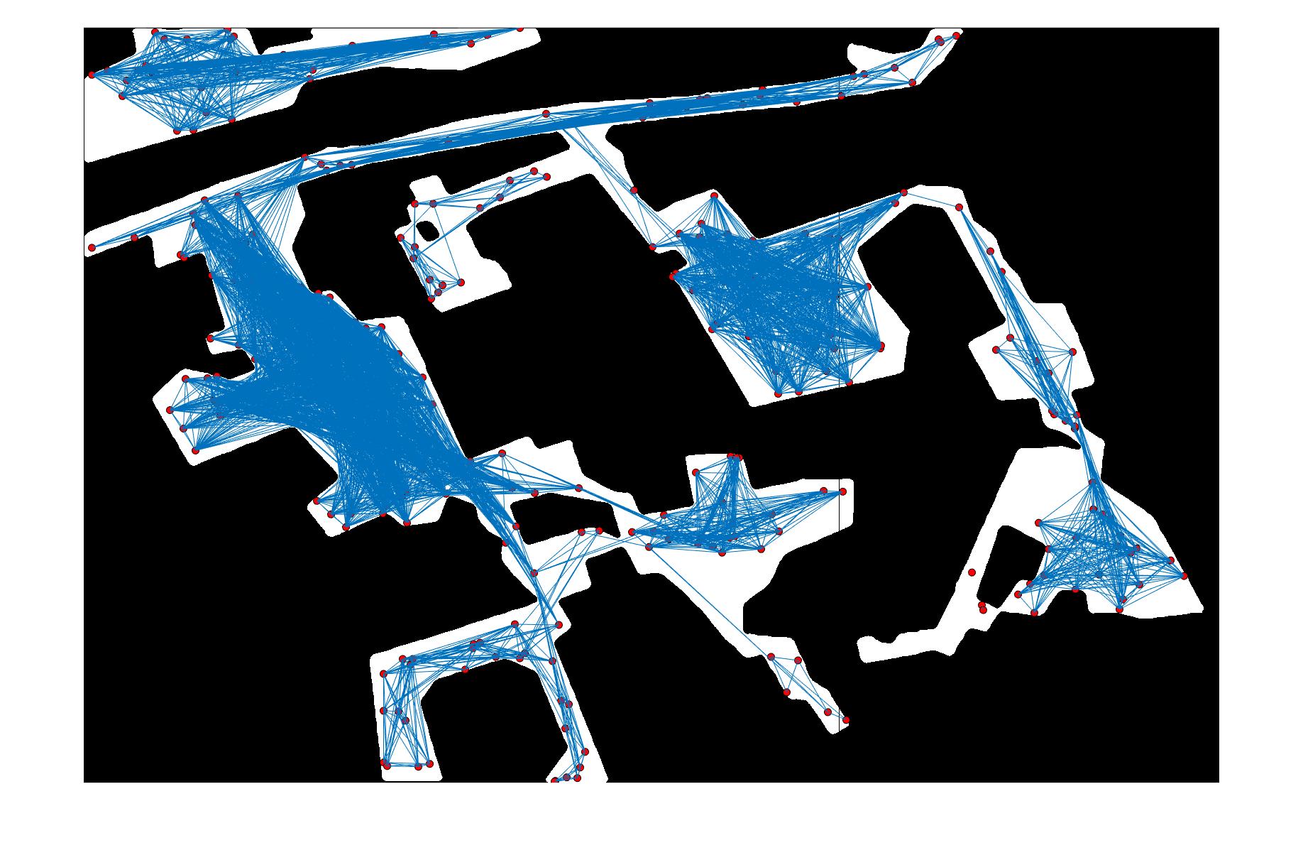
dfs-construction: Use dfs to create road maps and the weights of roads on the basic of 0/1 mask. (But this code is very time-consuming)
-
generate_graph.py: Quickly generate road maps for demonstration. (But can not get here ):.)
-
floyd-optimized_path: Use floyd algorithm to get final route planning.
