test_georaster_leaflet
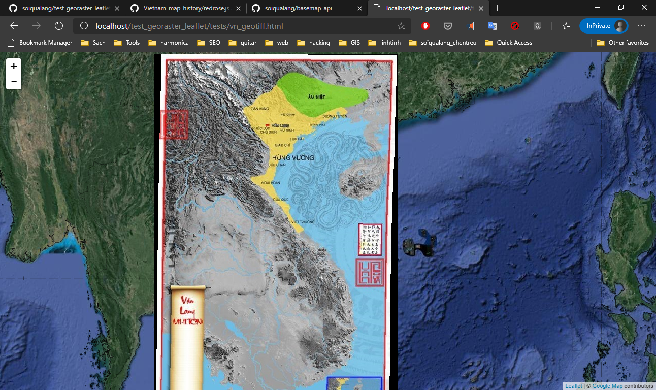
Thử nghiệm load geotiff với leaflet
add file vn1.tif kích thước ~ 1Mb2
Demo:
https://soiqualang.github.io/test_georaster_leaflet/
Kết quả, lag quá. Không khả thi khi áp dụng thực tế để view file có dung lượng lớn :')
georaster-layer-for-leaflet
Display GeoTIFFs and soon other types of rasters on your Leaflet Map
Install
npm install georaster-layer-for-leafletGeoRaster Prerequisite
GeoRasterLayer requires that input be first converted into GeoRaster format. You can install GeoRaster with the following command:
npm install georasterLoad Package via Script Tag
<script src="https://unpkg.com/georaster-layer-for-leaflet/georaster-layer-for-leaflet.browserify.min.js"></script>Usage
new GeoRasterLayer({georaster: georaster}).addTo(map);
Demos
- https://geotiff.github.io/georaster-layer-for-leaflet-example/
- https://geotiff.github.io/georaster-layer-for-leaflet-example/examples/load-file.html
- More Here: https://github.com/GeoTIFF/georaster-layer-for-leaflet-example
Why
- Super faster rendering thanks to a simple nearest neighbor interpolation
- Use of web workers means seamless integration that doesn't block main thread
- Loads large geotiffs greater than a hundred megabytes
- Supports custom rendering including custom colors and context drawing
- Doesn't depend on WebGL
Longer Usage Example
Source Code: https://github.com/GeoTIFF/georaster-layer-for-leaflet-example/blob/master/main.js
var parse_georaster = require("georaster");
var GeoRasterLayer = require("georaster-layer-for-leaflet");
// initalize leaflet map
var map = L.map('map').setView([0, 0], 5);
// add OpenStreetMap basemap
L.tileLayer('http://{s}.tile.osm.org/{z}/{x}/{y}.png', {
attribution: '© <a href="http://osm.org/copyright">OpenStreetMap</a> contributors'
}).addTo(map);
var url_to_geotiff_file = "example_4326.tif";
fetch(url_to_geotiff_file)
.then(response => response.arrayBuffer())
.then(arrayBuffer => {
parse_georaster(arrayBuffer).then(georaster => {
console.log("georaster:", georaster);
/*
GeoRasterLayer is an extension of GridLayer,
which means can use GridLayer options like opacity.
Just make sure to include the georaster option!
Optionally set the pixelValuesToColorFn function option to customize
how values for a pixel are translated to a color.
http://leafletjs.com/reference-1.2.0.html#gridlayer
*/
var layer = new GeoRasterLayer({
georaster: georaster,
opacity: 0.7,
pixelValuesToColorFn: values => values[0] === 42 ? '#ffffff' : '#000000',
resolution: 64 // optional parameter for adjusting display resolution
});
layer.addTo(map);
map.fitBounds(layer.getBounds());
});
});
Advanced Capabilities
Please read about our advanced capabilities including custom context drawing functions and displaying directional arrows in ADVANCED.md.
More Questions
Check out our Frequently Asked Questions
Support
Contact the package author, Daniel J. Dufour, at daniel.j.dufour@gmail.com
