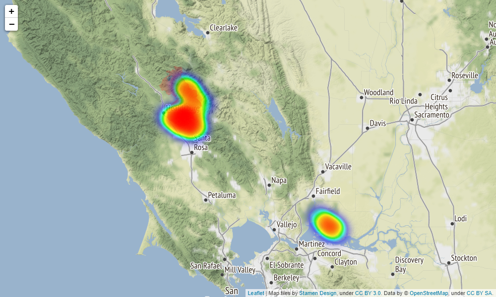
We propose a novel wildfire detection algorithm for multispectral satellite images. By observing that wildfire pixels aresparse outliers residing in a spatially correlated background,we isolate them using robust principal component analysis. A novel cloud masking approach based on T-point thresholdingis also proposed to reduce false alarms. Compared to exist-ing methods, our proposed method adapts to the spatial andtemporal heterogeneity of satellite images, does not requiretraining on labeled images, and is computationally efficientfor online monitoring. We present an application of our pro-posed algorithm to the GOES-R imagery in monitoring recent California wildfires.
Xu, S. G., Kong, S., & Asgharzadeh, Z. (2021, July). Wildfire Detection Using Streaming Satellite Imagery. In 2021 IEEE International Symposium on Geoscience and Remote Sensing. IEEE. (link)
-
Implementation
This well-documented notebook provides a Python pipeline for wildfire detection using the proposed method.
-
Fire Perimeter
The Historic_GeoMAC_Perimeters_2019 folder contains files that store the fire perimeters of major U.S. wildfires in 2019. In particular US_HIST_FIRE_PERIM_2019_dd83.shp can be used to extract the GIS shape records and Historic_GeoMAC_Perimeters_2019.csv can be used to find the index for each fire perimeter of interest.
