This project was created as a submission for the final project of the Deep Learning module for the IBM Machine Learning Professional Certificate.
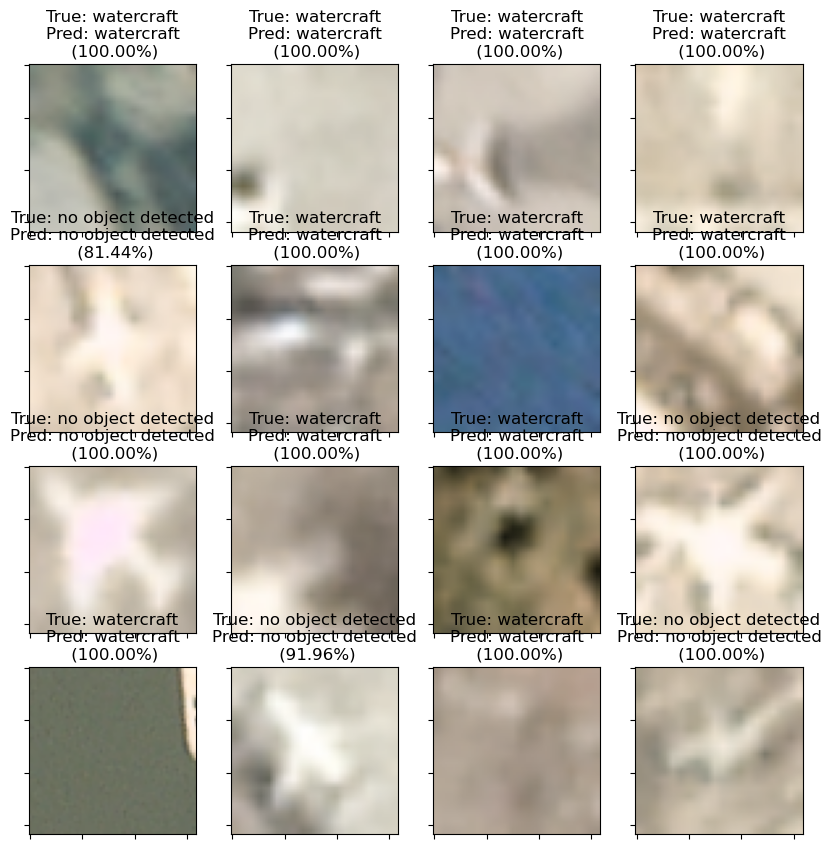
The goal of the project was to create a Convolutional Neural Network which is capable of detecting aircraft and watercraft in satellite imagery.
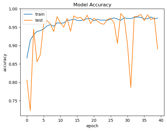
The Convolutional Neural Network was built using the Keras library and optimized with the ReLU and softmax activation functions, batch normalization, and three fully-connected layers with dropout. Train-test split was implemented to validate the model.
Across 40 epochs, the model was able to achieve a maximum accuracy of 98.69%

