-
geojson
- this module contain all the logic for geojson parsing and loading it into db
-
pytest this module contain all the test logic for testing all end points.
-
worker
- this module deals with the celery process for inserting data into database.
-
utils all the utilities functions
- distance.py module contain self implemented distance formula.
- static.py module contain all the static sql statement.
-
crud.py module deal with all database read and create operations
-
db.py this module deals with database connection
-
model.py contains all the orm models
-
schema.py contains all the schema for data validation
-
main.py contains main function
id int| property jsonb | coordinate geometry
-
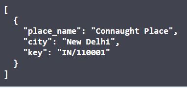
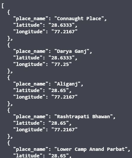
/get_location/ args: float, float Return: list of locations
-
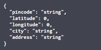
/post_location/ args:pin,city,address,lat,longitude
-
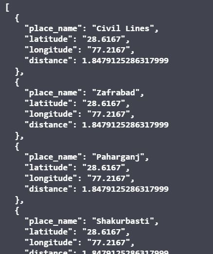
/get_using_postgres/ args:float, float Return: List of location
-
/get_using_self/ args: float, float Return: list of location
-
/detect/ args: float, float return: place_name and area in which the place falls.
