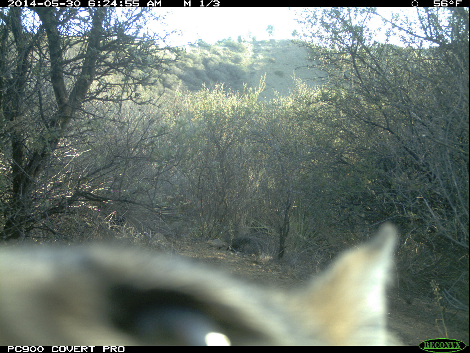
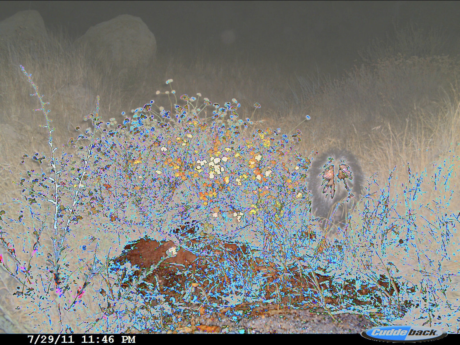
Camera Traps (or Wild Cams) enable the automatic collection of large quantities of image data. Biologists all over the world use camera traps to monitor biodiversity and population density of animal species. We have recently been making strides towards automatic species classification in camera trap images. However, as we try to expand the scope of these models we are faced with an interesting problem: how do we train models that perform well on new (unseen during training) camera trap locations? Can we leverage data from other modalities, such as citizen science data and remote sensing data?
In order to tackle this problem, we have prepared a challenge where the training data and test data are from different cameras spread across the globe. The set of species seen in each camera overlap, but are not identical. The challenge is to classify species in the test cameras correctly. To explore multimodal solutions, we allow competitors to train on the following data: (i) our camera trap training set (data provided by WCS), (ii) iNaturalist 2017-2019 data, and (iii) multispectral imagery (from Landsat 8) for each of the camera trap locations. On the competition GitHub page we provide the multispectral data, a taxonomy file mapping our classes into the iNat taxonomy, a subset of iNat data mapped into our class set, and a camera trap detection model (the MegaDetector) along with the corresponding detections.
This is an FGVCx competition as part of the FGVC7 workshop at CVPR 2020, and is sponsored by Microsoft AI for Earth and Wildlife Insights. Please open an issue if you have questions or problems with the dataset.
You can find the iWildCam 2018 Competition here, and the iWildCam 2019 Competition here.
We are using Kaggle to host the leaderboard. Competition page here.
| Competition Starts | March 9, 2020 |
| Submission Deadline | May 11, 2020 |
The WCS training set contains 217,959 images from 441 locations, and the WCS test set contains 62,894 images from 111 locations. These 552 locations are spread across the globe. A location ID (location) is given for each image.
You may also choose to use supplemental training data from the iNaturalist 2017, iNaturalist 2018, and iNaturalist 2019 competition datasets. As a courtesy, we have curated all the images from these datasets containing classes that might be in the test set and mapped them into the iWildCam categories. Note that these curated images come only from the iNaturalist 2017 and iNaturalist 2018 datasets because there are no common classes between the iNaturalist 2019 dataset and the WCS dataset. However, participants are still free to use the iNaturalist 2019 data if they wish.
This year we are providing Landsat-8 multispectral imagery for each camera location as supplementary data. In particular, each site is associated with a series of patches collected between 2013 and 2019. The patches are extracted from a "Tier 1" Landsat product, which consists only of data that meets certain geometric and radiometric quality standards. Consequently, the number of patches per site varies from 39 to 406 (median: 147). Each patch is 200x200x9 pixels, covering an area of 6km^2 at a resolution of 30 meters / pixel across 9 spectral bands. Note that all patches for a given site are registered, but are not centered exactly at the camera location to protect the integrity of the site.
Submissions will be evaluated based on their categorization accuracy.
The general rule is that participants should only use the provided training images for training models to classify the test images. Participants are allowed to use the iNaturalist 2017-2019 competition datasets and the provided Landsat 8 imagery during training. We do not want participants crawling the web in search of additional data or using previous versions of this dataset. Models pretrained on standard computer vision datasets may be used to construct the algorithms (e.g. ImageNet pretrained models). Please specify any and all external data and/or models used for training when uploading results.
Participants are allowed to collect additional annotations (e.g. bounding boxes, keypoints) on the provided training sets. Participants are not allowed to collect annotations on the test set. Teams should specify any additional annotations they have collected when submitting results.
We follow the annotation format of the COCO dataset and add additional fields. Each training image has at least one associated annotation, containing a category_id that that maps the annotation to its corresponding category label. The annotations are stored in the JSON format and are organized as follows:
{
  "info" : info,
  "images" : [image],
  "categories" : [category],
  "annotations" : [annotation]
}

info{
  "year" : int,
  "version" : str,
  "description" : str,
  "contributor" : str
  "date_created" : datetime
}

image{
  "id" : str,
  "width" : int,
  "height" : int,
  "file_name" : str,
  "rights_holder" : str,
  "location": int,
  "datetime": datetime,
  "seq_id": str,
  "seq_num_frames": int,
  "frame_num": int
}

category{
  "id" : int,
  "name" : str
}

annotation{
  "id" : str,
  "image_id" : str,
  "category_id" : int
}
The bbox units are in pixels, the origin is the upper left hand corner, and the area value is approximated as (width * height) / 2.0 since we did not collect segmentation masks.
The submission format for the competition is a csv file with the following format:
id,animal_class
58857ccf-23d2-11e8-a6a3-ec086b02610b,1
591e4006-23d2-11e8-a6a3-ec086b02610b,5
...
The id column corresponds to the test image id. The animal_class is an integer value that indicates the class of the animal, or 0 to represent the absence of an animal.
Download the dataset files here:
- WCS training images (84GB zipped)
- Download Link
- Running
md5sum train.zipshould produce881d703639ce1df034e32fee1222bdcb
- Running
- Download Link
- WCS test images (25GB zipped)
- Download Link
- Running
md5sum test.zipshould produceadac3be1b45e12e062299615386cae05
- Running
- Download Link
- WCS annotations and MegaDetector Results
- Download Link
- Running
md5sum metadata.zipshould produce3050b2a641ebef259ee73e1476e5e6ae
- Running
- Download Link
- iWildCam Remote Sensing Data (37GB zipped)
- Download Link
- Running
md5sum iwildcam_rs_npy.tar.gzshould producef25fbd47535a01139b0ef7b33b964269
- Running
- Download Link
- iNaturalist 2017 subset of images from our classes (2.2GB zipped)
- Download Link
- Running
md5sum inaturalist_2017.tar.gzshould producebf9f18c0bc0169c243a8958d3705a0b9
- Running
- Download Link
- iNaturalist 2017 subset metadata
- Download Link
- Running
md5sum inaturalist_2017_to_iwildcam_train.jsonshould produce8664e8f16596995aae3a612d56e6426d
- Running
- Download Link
- iNaturalist 2018 subset of images from our classes (1.5GB zipped)
- Download Link
- Running
md5sum inaturalist_2018.tar.gzshould produce44c0d20abefb27ec1555bd451d4c8904
- Running
- Download Link
- iNaturalist 2018 subset metadata
- Download Link
- Running
md5sum inaturalist_2018_to_iwildcam_train.jsonshould producedcdc925a494cb0e58daf9201eb69f595
- Running
- Download Link
We are also providing a general animal detection model which competitors are free to use as they see fit.
The model is a tensorflow Faster-RCNN model with Inception-Resnet-v2 backbone and atrous convolution. It can be downloaded here.
Sample code for running the detector over a folder of images can be found here.
We have run the detector over the three datasets, and provide the top 100 boxes and associated confidences along with the metadata for WCS. Detections are provided in the following format:
{
  'images':[image],
  'detection_categories': {'1': 'animal', '2': 'person'},
  'info': info
}

image{
  'id': str,
  'max_detection_conf': float,
  'detections':[detection]
}

detection{
  # bounding boxes are in absolute, floating-point coordinates, with the origin at the upper-left
  'bbox' : [x, y, width, height],
  # note that the categories returned by the detector are not the categories in the WCS dataset
  'category': str,
  'conf': float
}
Camera trap data provides several challenges that can make it difficult to achieve accurate results.
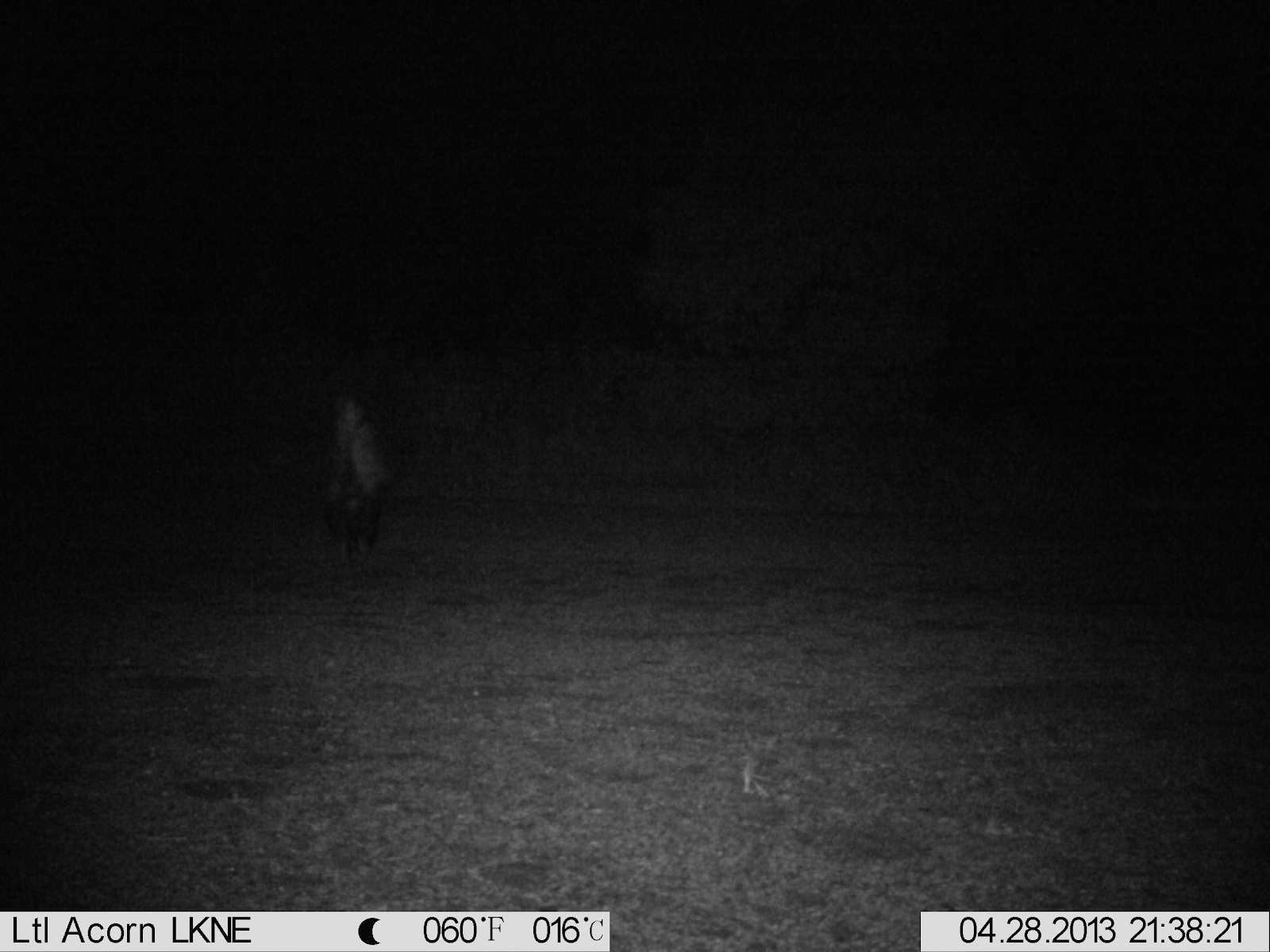
Images can be poorly illuminated, especially at night. The example below contains a skunk to the center left of the frame.
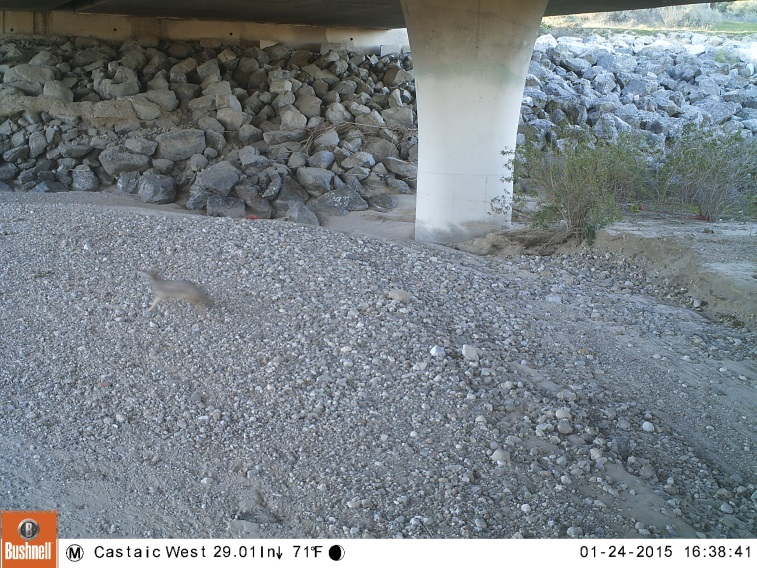
The shutter speed of the camera is not fast enough to eliminate motion blur, so animals are sometimes blurry. The example contains a blurred coyote.
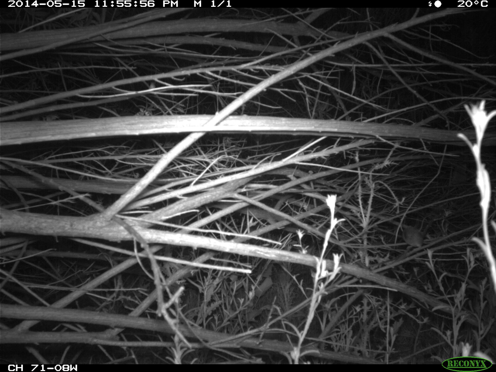
Some animals are small or far from the camera, and can be difficult to spot even for humans. The example image has a mouse on a branch to the center right of the frame.
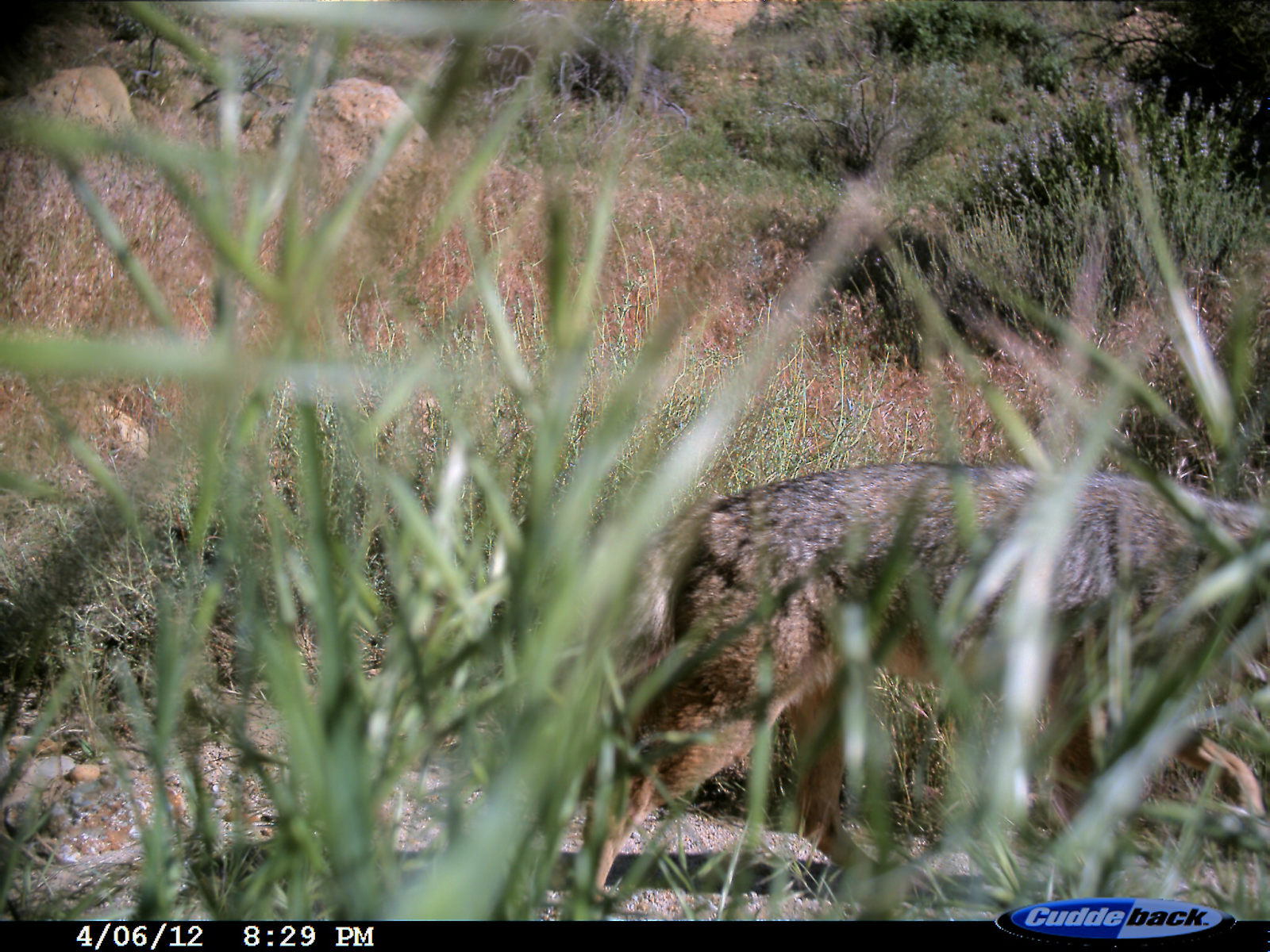
Animals can be occluded by vegetation or the edge of the frame. This example shows a location where weeds grew in front of the camera, obscuring the view.
Sometimes animals come very close to the camera, causing a forced perspective.
Poor weather, including rain, snow, or dust, can obstruct the lens and cause false triggers.
Sometimes the camera malfunctions, causing strange discolorations.
At any given location, the background changes over time as the seasons change. Below, you can see a single loction at three different points in time.
What causes the non-animal images to trigger varies based on location. Some locations contain lots of vegetation, which can cause false triggers as it moves in the wind. Others are near roadways, so can be triggered by cars or bikers.
By downloading Wildlife Conservation Society data or iWildCam Remote Sensing data you agree to the terms in the Community Data License Agreement (CDLA).
By downloading iNaturalist data you agree to the terms outlined by iNaturalist.
Data is primarily provided by the Wildlife Conservation Society (WCS), iNaturalist, the U.S. Geological Survey, and Microsoft AI for Earth.

