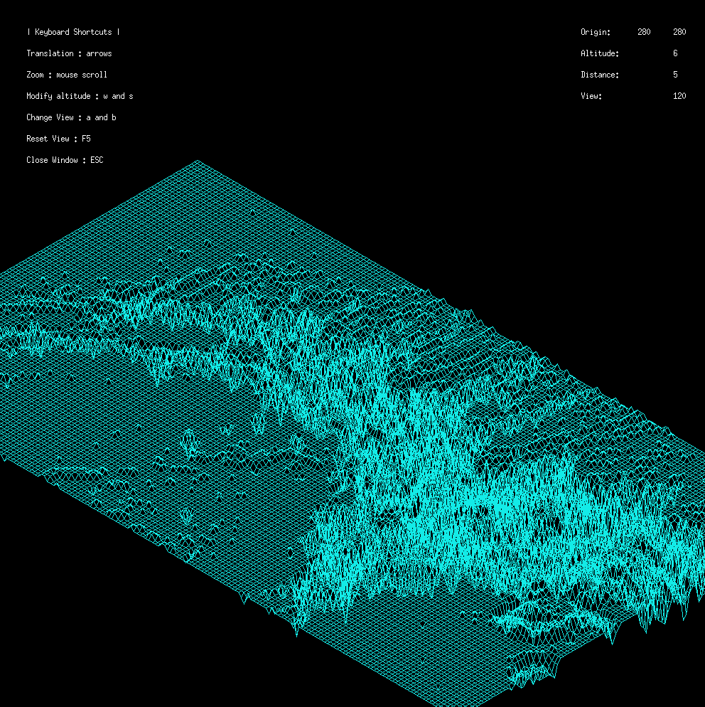
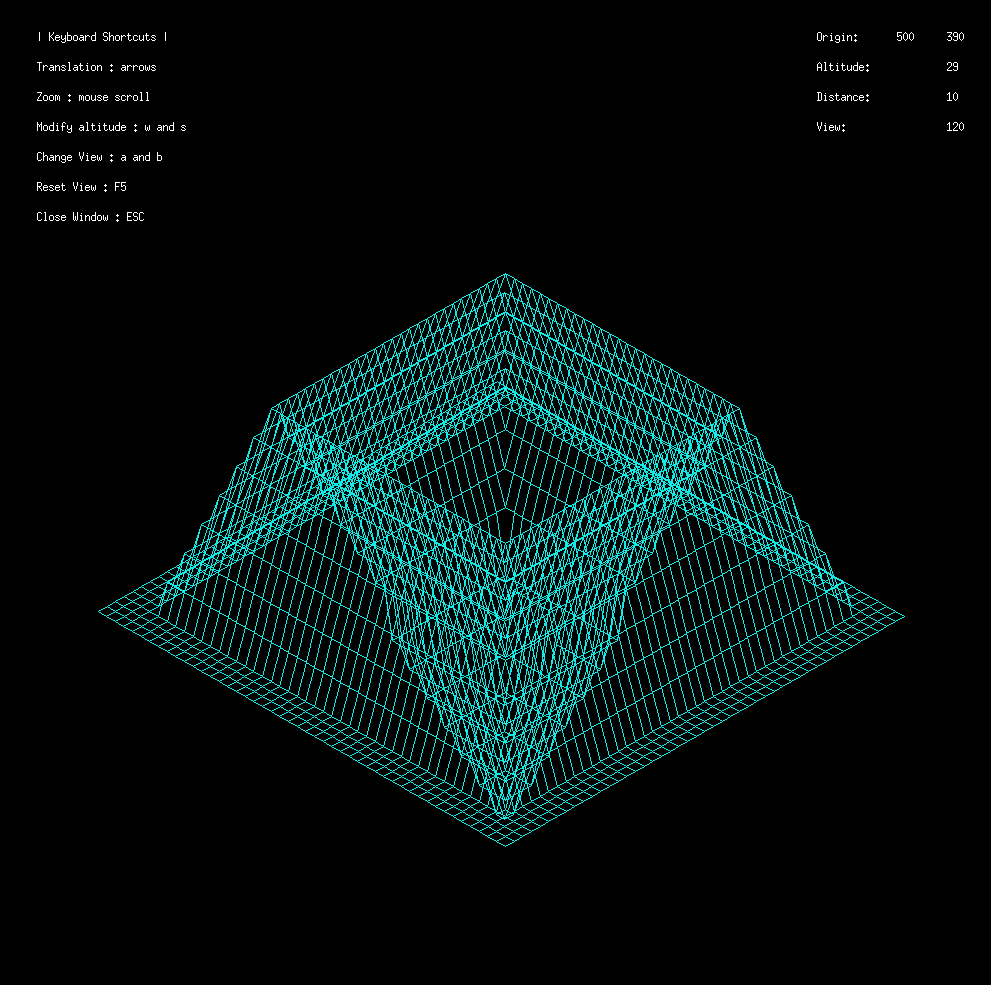
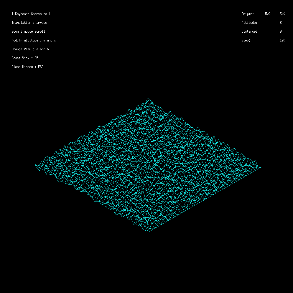
FDF is short for ’fil de fer’ in French which means ’wireframe model’.
The goal of this project is to create a 3D wireframe model of a landscape given a file containing the altitude of each point.
The wireframe is projected onto a 2D plane using an isometric projection.
- MacOs
- Linux
- C language
- Minilibx (42 graphic lib)
make
./fdf maps/42.fdf


