About
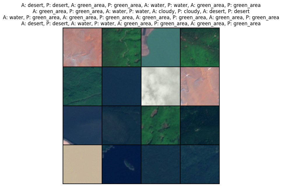
- Satellite image classification model built using PyTorch.
- Achieved 96.8% accuracy in predicting 4 different types of terrain after 102 epochs.
Example
Additional Info
- Dataset can be found here: Kaggle
- Best model weights can be found at file
satellite_image_classification_model_best.pth.
