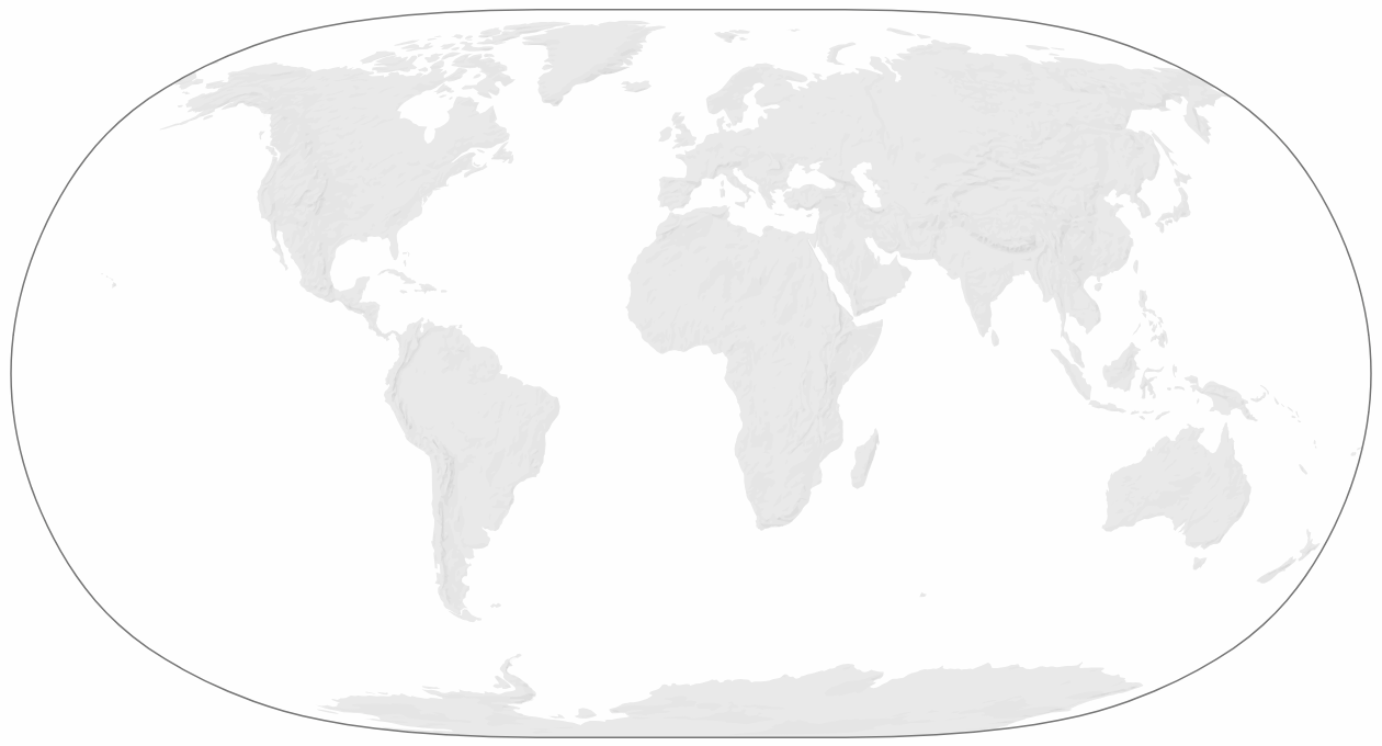
hillshade.json is a global hillshade layer in GeoJSON format, designed for use in world- and continent-level web maps.
A hillshade (or 'shaded relief') layer can indicate the broad topography of an area and serve as a nice base texture for a map. Conventionally, these layers are distributed as raster files however, and as such they typically have to be preprojected to align with other layers of the map.
hillshade.json offers a vectorised layer instead, which means it can be loaded and reprojected with libraries such as d3-geo.
The file contains 3 GeoJSON features which represent shadows of different intensity and stack on top of each other.
The three layers are designed to be drawn on top of a base layer of land, eg from world-atlas. One way to generate a smooth texture is to give the layers a low opacity and apply mix-blend-mode: multiply. I like to give the bottom layer a lower opacity while emphasizing the peaks:
.land {
    fill: #eaeaea;
}

.shadows {

    fill: #eaeaea;
    mix-blend-mode: multiply;

    &.shadows--1 {
        fill-opacity: 0.2;
    }
    &.shadows--2 {
        fill-opacity: 0.3;
    }
    &.shadows--3 {
        fill-opacity: 0.4;
    }

}This vector hillshade was created from Natural Earth's 1:50m shaded relief raster. Shoutout to Gavin Kistner's svg2geojson without which I couldn't have created the vector version!
