A Python-based utility for automated acquisition and processing of Landsat 8 data
landsat_fetch implements acquisition of Landsat 8 products and a couple of processing workflows.
It is recommended to install in a virtual environment:
$ python3 -mvenv --system-site-packages venv
$ source venv/bin/activate
$ pip install -U pip setuptools
$ pip install .landsat_fetch mosaic
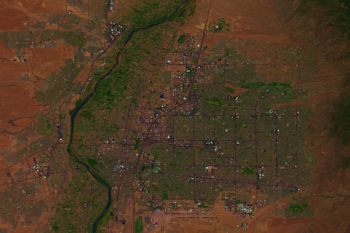
The mosaic workflow finds the latest Landsat products covering the requested geographic region (specified as a bounding box in latitude-longitude space),
optionally radiometrically corrects them (producing output in reflectance rather than DN), and mosaics them together to produce an output.
Where lat0 and lon0 specify the northwest corner of the output product, and lon1 and lat1 represent the southwest corner, usage is simply:
landsat_fetch mosaic output.tiff lat0 lon0 lat1 lon1
By default, bands 4, 3, 2 are fetched (corresponding to RGB). This can be overridden by specifying the -b option one or more times, for example, to use the SWIR, NIR, and aerosol bands:
landsat_fetch mosaic output.tiff lat0 lon0 lat1 lon1 -b 7 -b 5 -b 1
Optionally, the --calibrate option can be added to retrieve the MTL metadata file for each fetched product and use it to convert the output to reflectance. By default, uncalibrated DN is used instead.
Pansharpening is also supported via the --pansharpen flag. Adding this flag will automatically fetch band 8 in addition to the other bands selected.
Currently, GeoTIFF is the only supported output format. Output is created in the equirectangular (WGS84) projection.
landsat_fetch timelapse
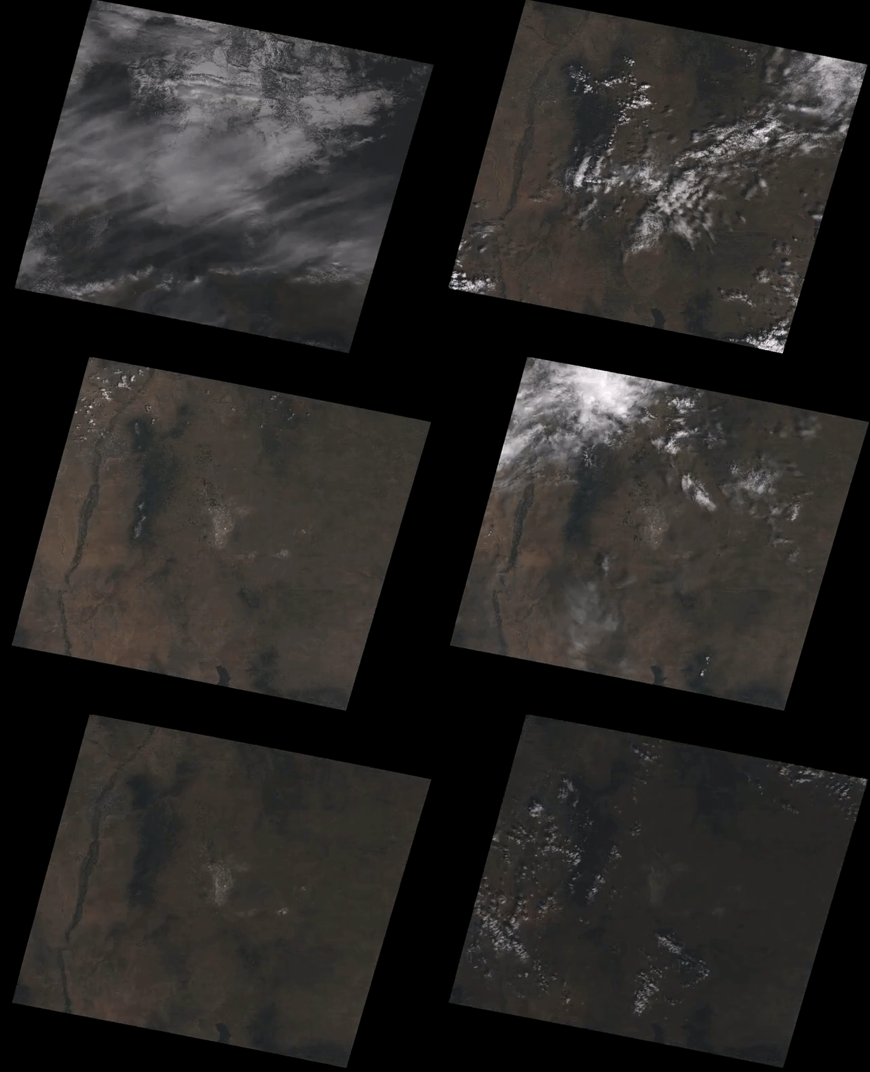
The timelapse workflow produces a video representation of changes to a particular scene over time.
Where path and row are the WRS coordinates of the target region, start_date is an ISO datetime string
corresponding to the start of the timelapse, and end_date is an ISO datetime string corresponding to the end
of the timelapse, usage is:
landsat_fetch timelapse output.mp4 path row start_date end_date
The frame rate for the input scenes can be specified using the -r rate flag. Output will be stretched to
30 fps. The resolution of the output can be specified with the -w width flag.
By default, bands 4, 3, 2 are fetched (corresponding to RGB). This can be overridden by specifying the -b
option one or more times. As with the mosaic workflow, --calibrate can be added to convert from DN to
reflectance.
Variations in footprint between Landsat products is compensated for by reprojecting to ans equirectangular space representing the union of all fetched products.
Currently, only mp4 output is supported.

