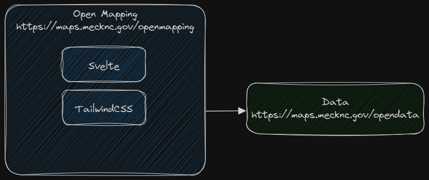
Mecklenburg County open data and maps hub, built with Svelte and TailwindCSS. The development and build environment is Vite.
Site: https://maps.mecknc.gov/openmapping
Open Mapping is a progressive web app (PWA) consisting of three web pages - index, data, and apps. A configuration file for the data is located at https://maps.mecknc.gov/opendata/data.json. Configuration files for the apps and projects on the apps page are found in public/json.
- Icons come from the excellent phosphor.
- Big thank you to Landing-Page for design elements and inspiration.
Node.js is required to run the development and build systems, and git is required to use the versioning system.
git clone https://github.com/tobinbradley/open-mapping.gitcd open-mapping
npm installnpm run devNavigate a web browser to http://localhost:3000 to view the HMR live development server.
npm run buildAfter the build is complete, copy the contents of the dist folder to the production web server.
