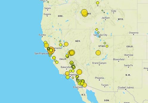
Visualize the United States Geological Survey's data sets that will allow to better educate the public and other government organizations on issues facing our planet.
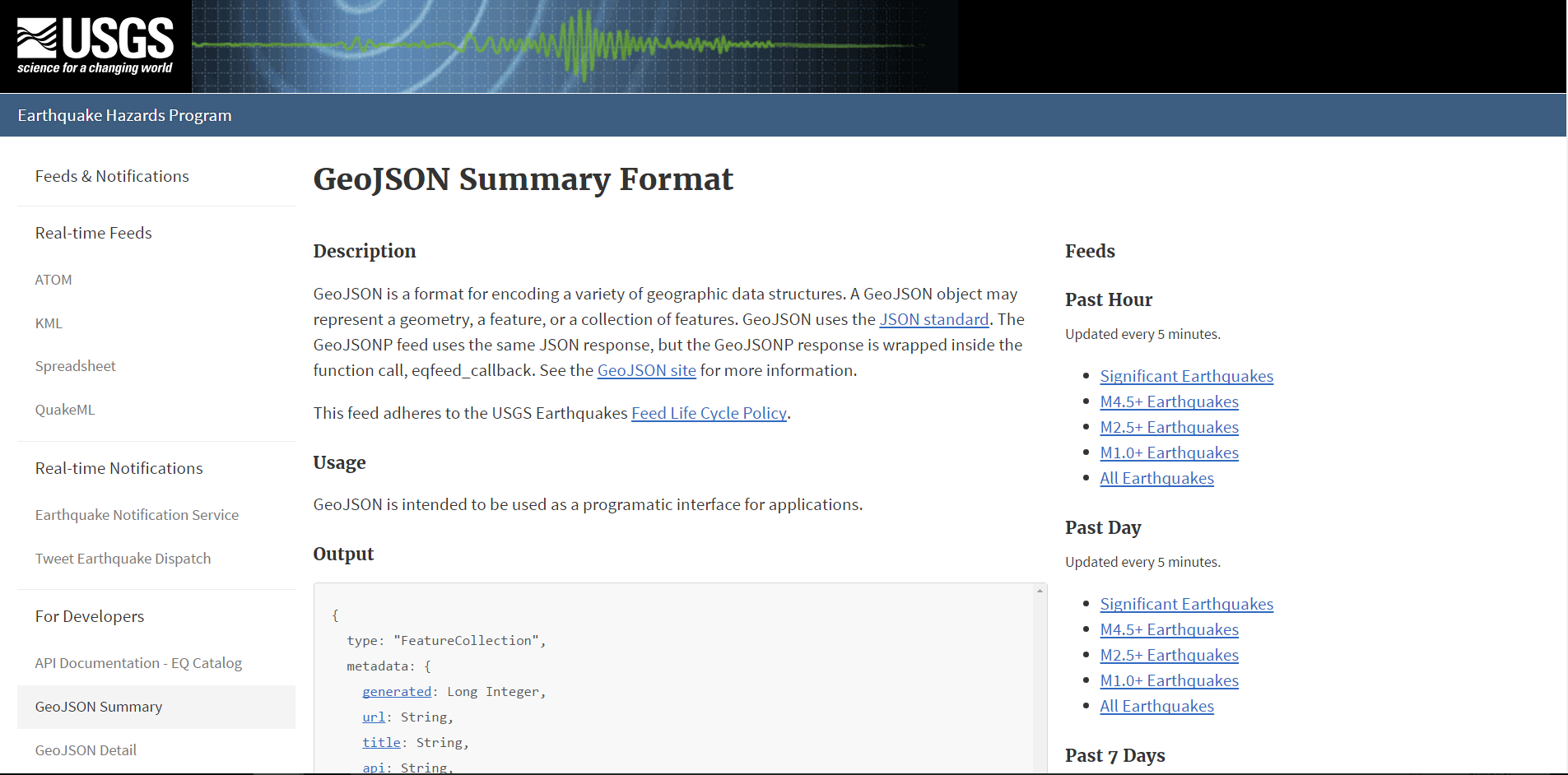
Acquire JSON data set from USGS
Import and Visualize the Data
- Using Leaflet, a map will be created from the data set plotting all of the earthquakes based on their longitute and latitute
- Create data marker that reflect the magnitude of the earthquake by their size and depth of the earthquake by color
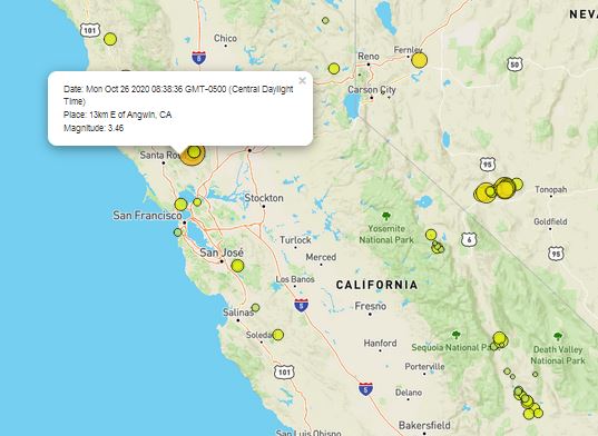
The interactive map will display earthquakes throughout the United States by severity in the last 7 days.
By clicking on an earthquake additional information is displayed

