/FLUR

An R Shiny interactive web Application for presenting results of a novel Functional Land-Use Regression (FLUR) model that spatially predict Long-term diurnal variation curves of fine particulate matter (PM2.5) in the mega-city of Tehran.

Primary LanguageRGNU General Public License v3.0GPL-3.0

FLUR

An R Shiny interactive web Application for presenting results of a novel Functional Land-Use Regression (FLUR) model that spatially predict Long-term diurnal variation curves of fine particulate matter (PM2.5) in the mega-city of Tehran.

Screenshots

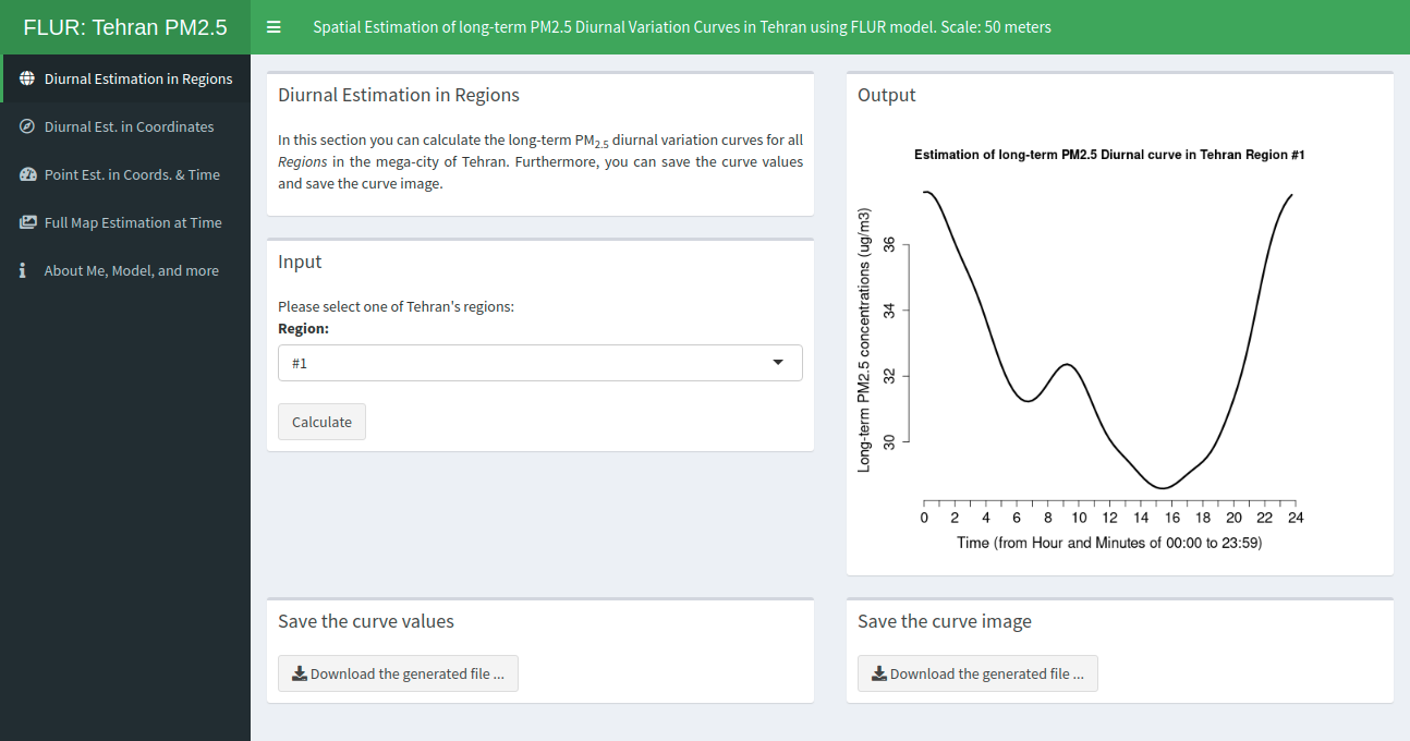
Screenshot 1a: Diurnal Estimation in Region #1

Screenshot 1 of Diurnal Estimation in Regions

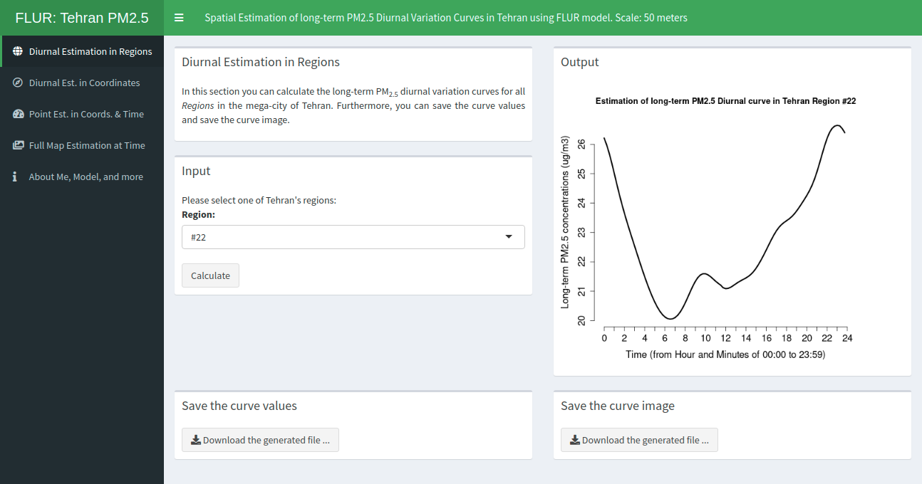
Screenshot 1b: Diurnal Estimation in Region #22

Screenshot 2 of Diurnal Estimation in Regions

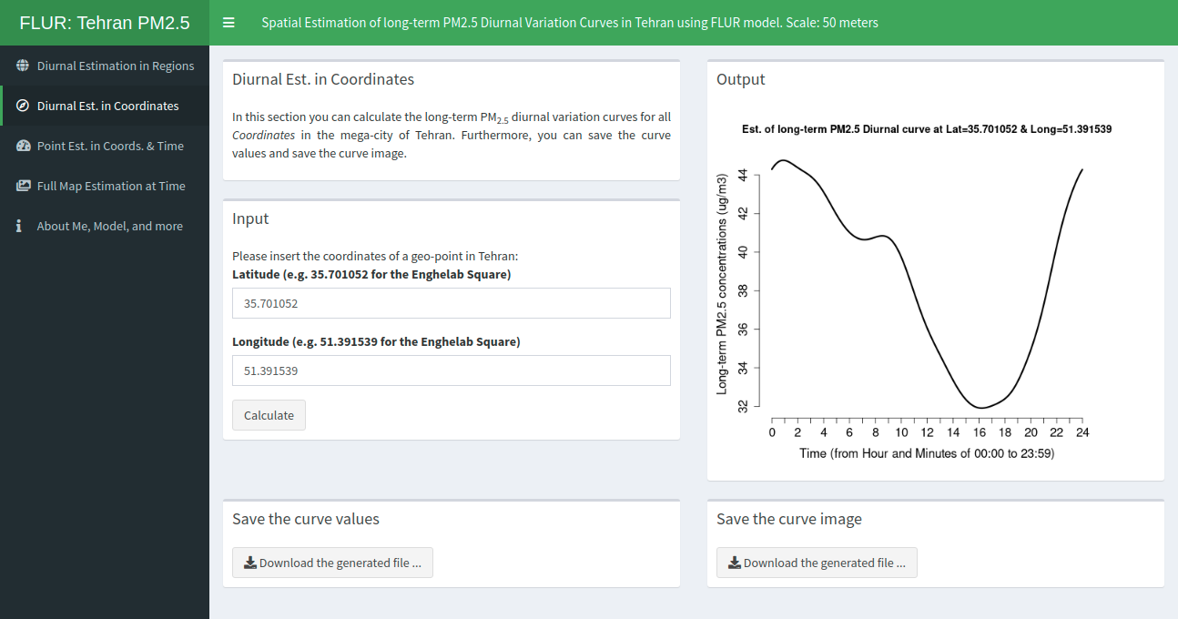
Screenshot 2: Diurnal Estimation in Coordinates

Screenshot of Diurnal Estimation in Coordinates

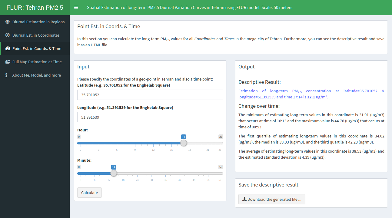
Screenshot 3: Point Estimation in Coordinates and a Time

Screenshot of Point Estimation in Coordinates and Time

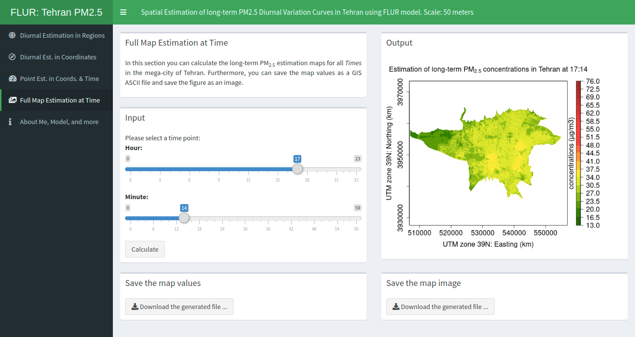
Screenshot 4: Full Map Estimation of the pollutant concentrations at a Time

Screenshot of Full Map Estimation at Time

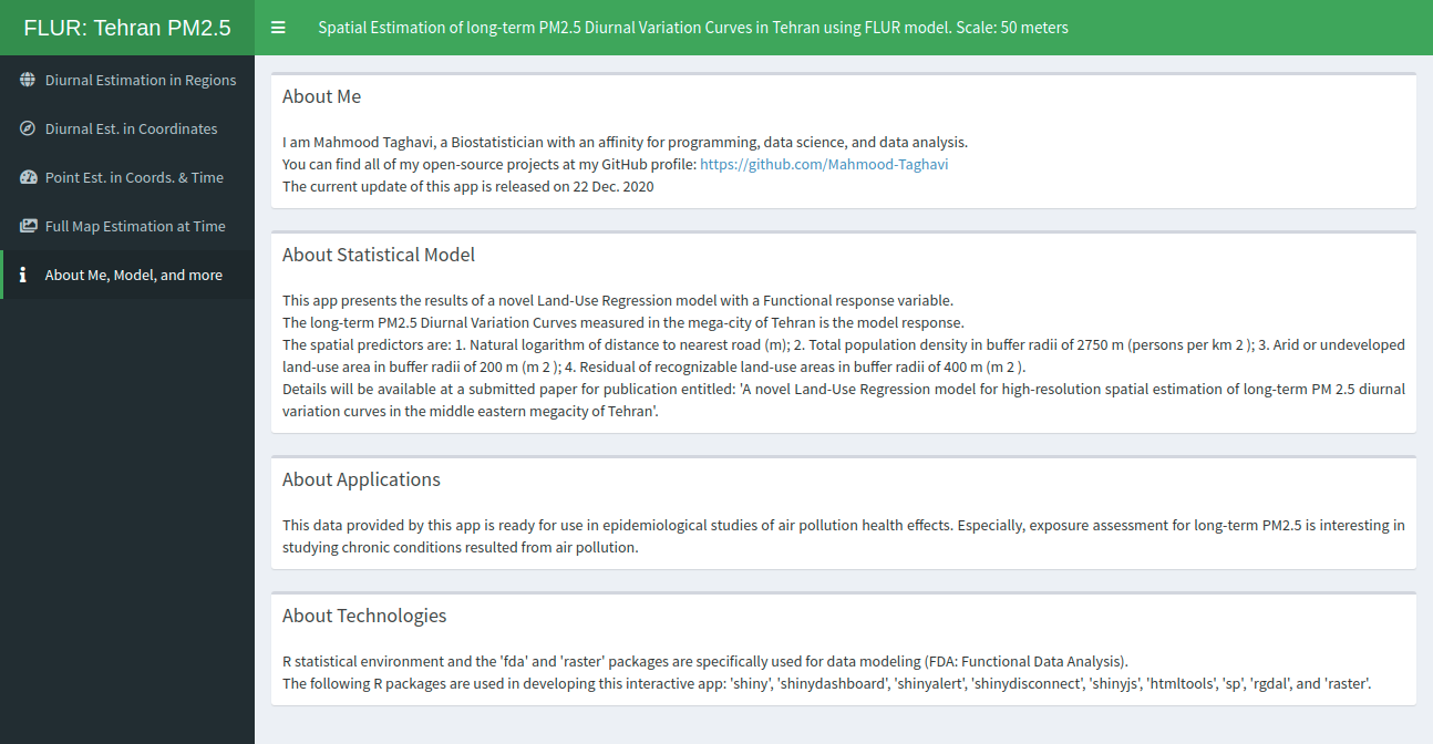
Screenshot 5: About Me, Statistical Model, Applications, and Technologies

Screenshot of About Me, Model, and more