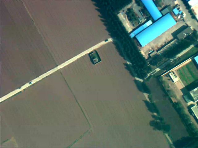
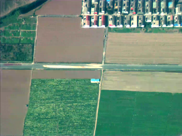
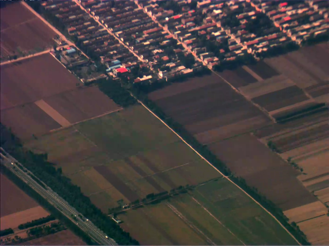
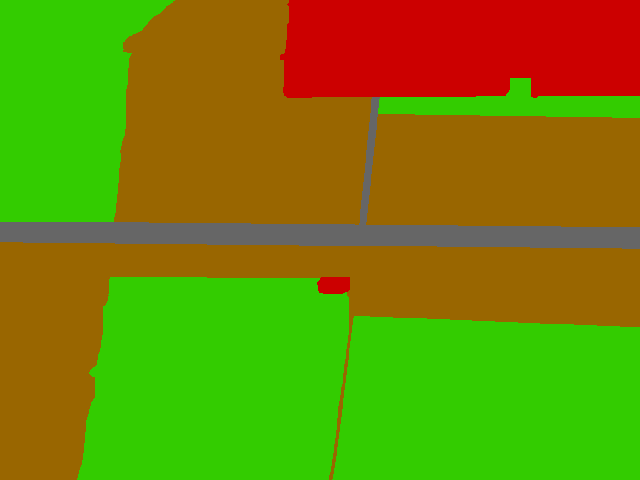
Video segmentation refers to the task of partitioning pixels that exhibit homogeneous appearance and motion into coherent spatial-temporal groups, which can be applied to a wide variety of practical aerial applications, such as landscape detection and recognition, ground scene classification, and urgent safe landing. However, few works about aerial video segmentation for higher-altitude platforms are developed in the current literatures due to the lack of common evaluation dataset. Therefore, we collected a new aerial video dataset, which exhibits the simple and challenging conditions of video complexity and motion, for the evaluation of aerial video segmentation algorithms.
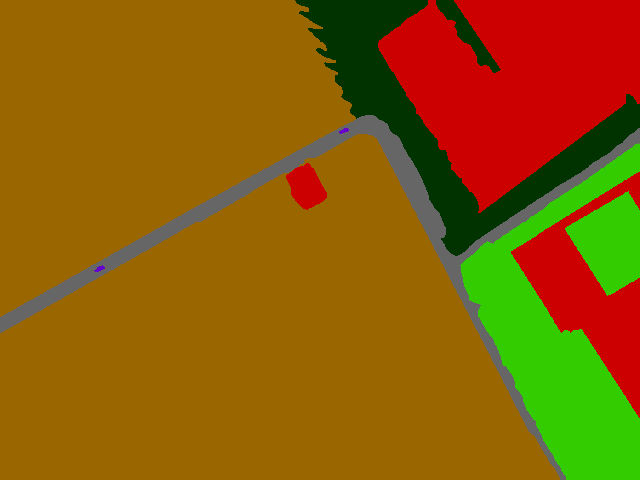
The dataset consists of 10 diverse sequences and total 525 images, of which 131 images are annotated with pixel-wise segmentation labels. The videos are all captured at 12 fps and 1280*1024 spatial resolution. The images contain a variety of man-made and natural “objects” whose appearance varies across sequences and comprises homogenous and textured parts. We select 6 sequences to be annotated by experts. The primary subjects of the aerial videos are mainly various land surfaces and we define six most common types: bare land, grassland, forest, building, road, and vehicles.
Each folder contains video sequence with same ground scene. For each sequence, there are following files:
- bmp folder: *.bmp, initial video image;
- gt_rgb folder: *.bmp, RGB masks of segmentation for visualization;
- gt_label folder: *.bmp, index masks of segmentation ;
- gt_mat folder: *.mat, index masks of segmentation .
Representative examples: [GoogleDrive] [BaiduYunPan]
Full Resolution: [GoogleDrive] [BaiduYunPan(code: e4vu)]
If you have any question, please contact Yufeng Wang (wyfeng@buaa.edu.cn).
If you find this dataset useful, please cite the following publication:
