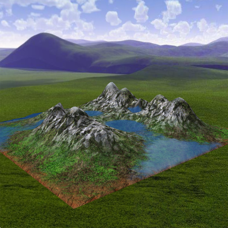
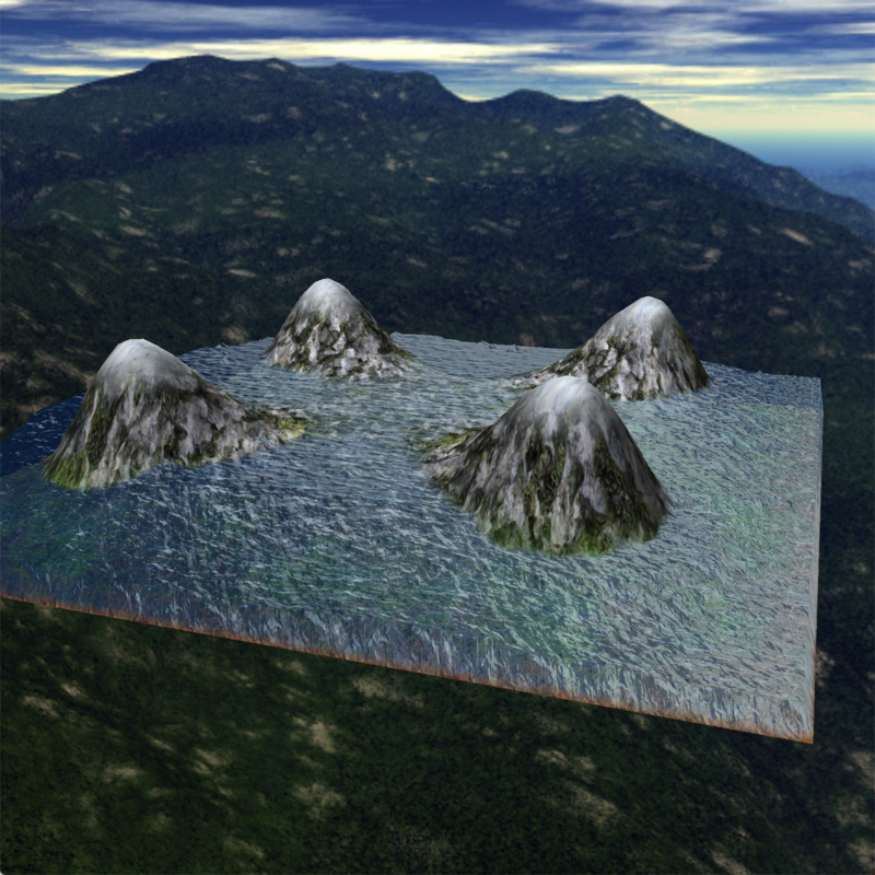
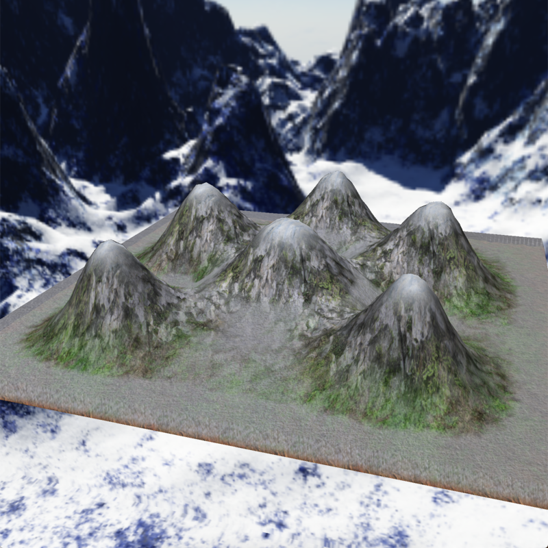
Water on surface
This project is about water flow simulation on terrain
Terrain modeling 🏔
Program gets external file as first parameter that contains terrain map (map/demoX.mod). It is a series of coordinates in 3D. They define a few sparse points through which surface will imperatively go across. It can be either 2, 10 or 20 points for example (not more than 50).
map/demo2: (10000,10000,6000) (15000,10000,100) (15000,15000,4000)
IDW interpolation algorithm is used to represent a surface that goes through those points.
Water modeling 🧊
Height field based water simulation using "pipe model" The water is represented as a set of columns, water surface is described by the height of the columns. Each column connected to 4 neighbors with "virtual pipes". Program gets as an second parameter an external file containing the initial map of water heights (map/waterXXX.mod)
Basics
- C++11
- OpenGL 2.1
- GLSL 1.20
Dependencies
- glfw 3.3.2
- glew 2.1.0
- glm 0.9.9.5
- sfml 2.5.1
- boost 1.72.0
Install
git clone https://github.com/gitEllE-if/water_terrain_simulation.git waterSim
cd waterSim
make
I only tested and run this simulation on MacOS (Mojave, HighSierra, Catalina)
Usage
./mod surface_file [water_file]
example: ./mod map/demo1.mod map/water.mod
[ENTER]- start[SPACE]- stop[ASDW mouse]- camera control[1]- water[2]- rain[3]- snow[Z]- sound[X]- mute[<]- slow[>]- fast[-]- leak[+]- rise[0]- none[ { arrow]- water leak at the border[ } arrow]- water rise at the border[p]- none water leak/rise at the border
💧water
🌧rain
❄️ snow


