UPenn ESE 650 Learning in Robotics, Project 5: Learn a cost-to-go map from demonstrations.
- Detailed project description can be found at report/ese650proj5_report_luyiren.pdf
- Presentation slides can be found at report/ese650proj5_slides_luyiren.pdf
- Execute
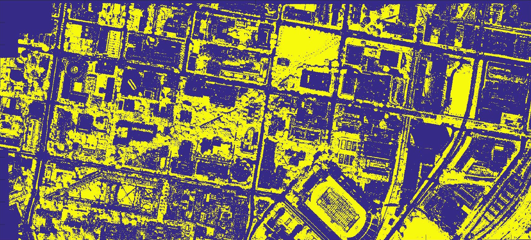
submission/path_planning_test.m - Driving and walking feature maps and cost maps are in
submission/feat_eng_maps5andsubmission/walk_feat_mapsrespectively.
- Greens
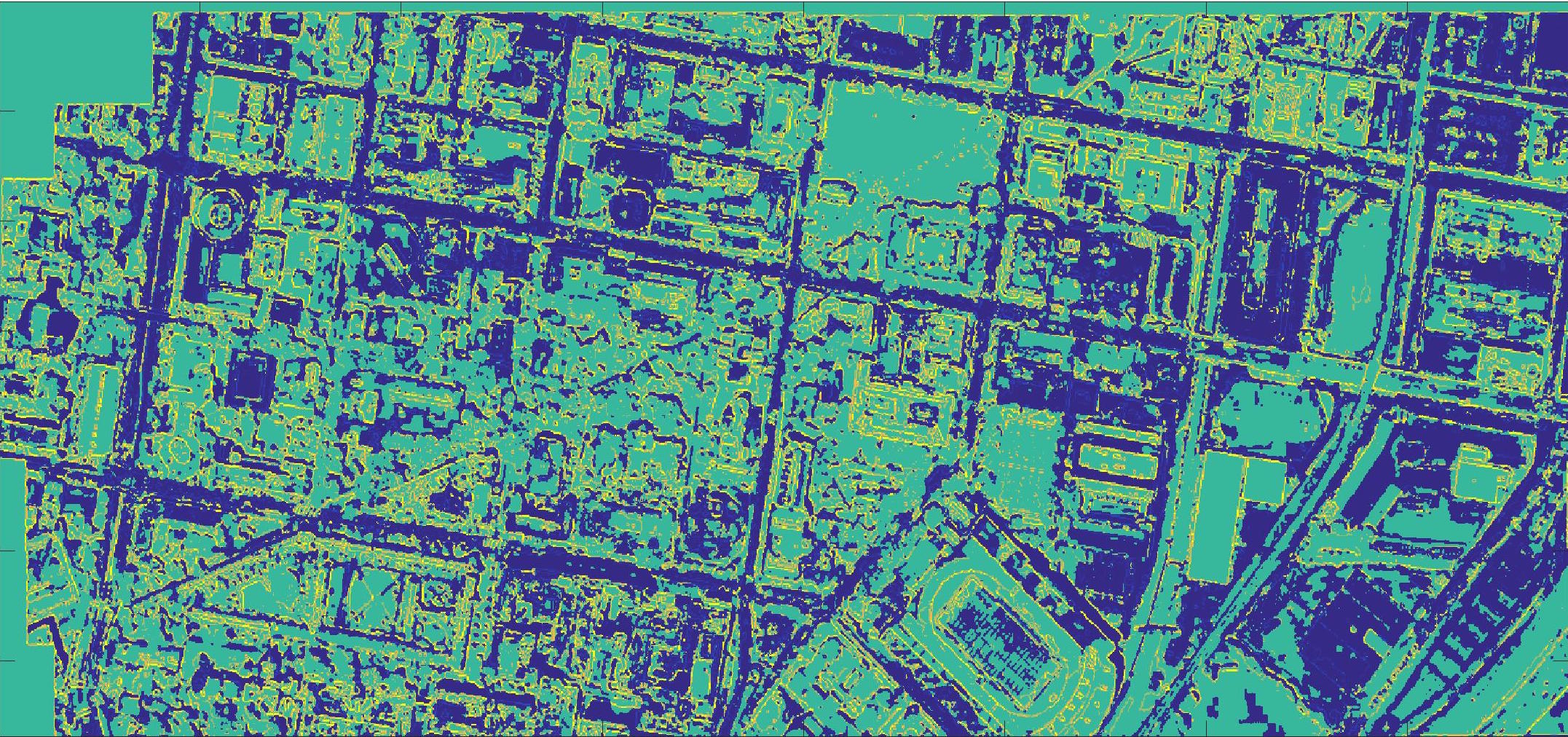
- Cost map for driving
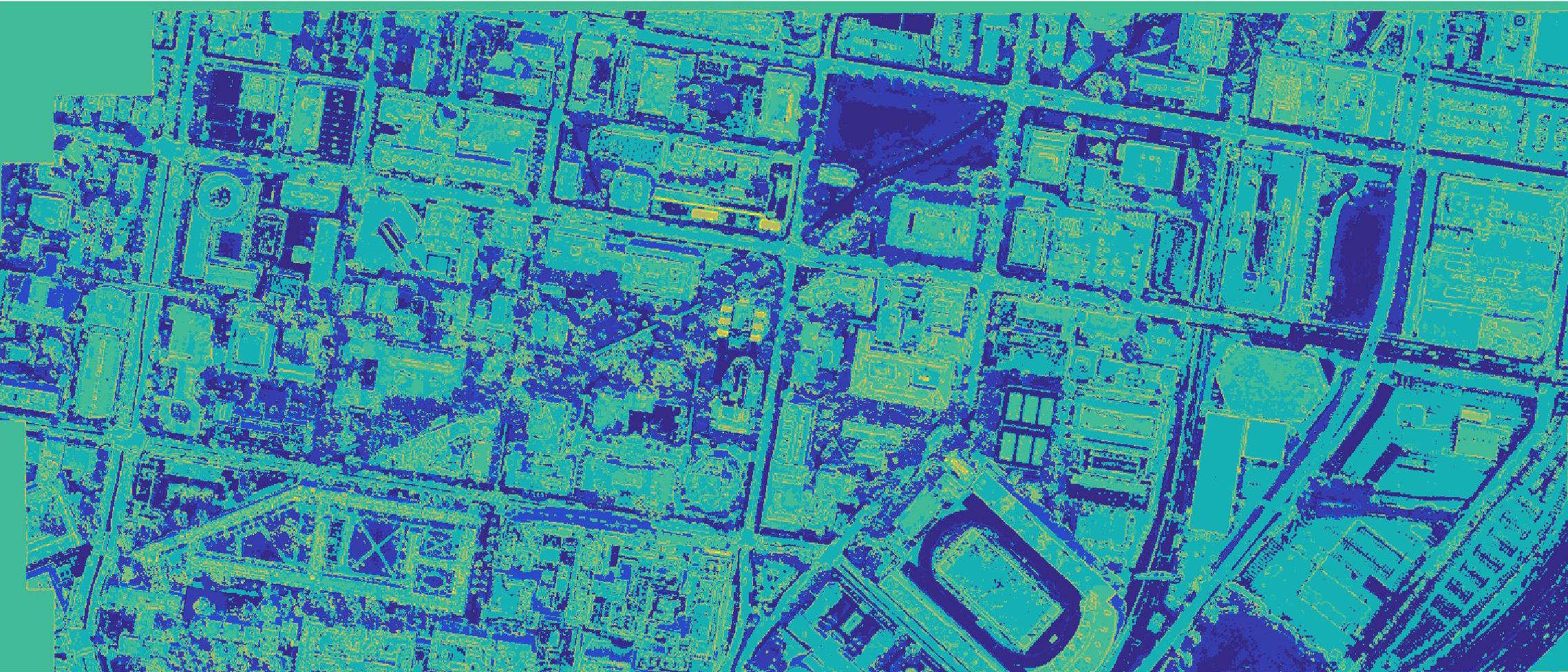
- Cost map for walking


