surveying calculation, network adjustment, digital terrain models, regression calculation
Volunteers are wellcome! Send us bug reports, feature requests through the issue tracker. Clone the repository, change the code and send us back a pull request to include your enchacement in the core system.
The beginning of GeoEasy goes back to the late nineties (1997). Before the 3.0 version it was a proprietary software marketed in Hungary. After twenty year long development (with active and less active periods) in 2017 the license has been changed to open source.
See the doc folder for various reStructuredText files, the wiki and a paper in Geoinformatics FCE CTU.
Presentation at FOSS4G 2019 Bucharest and video
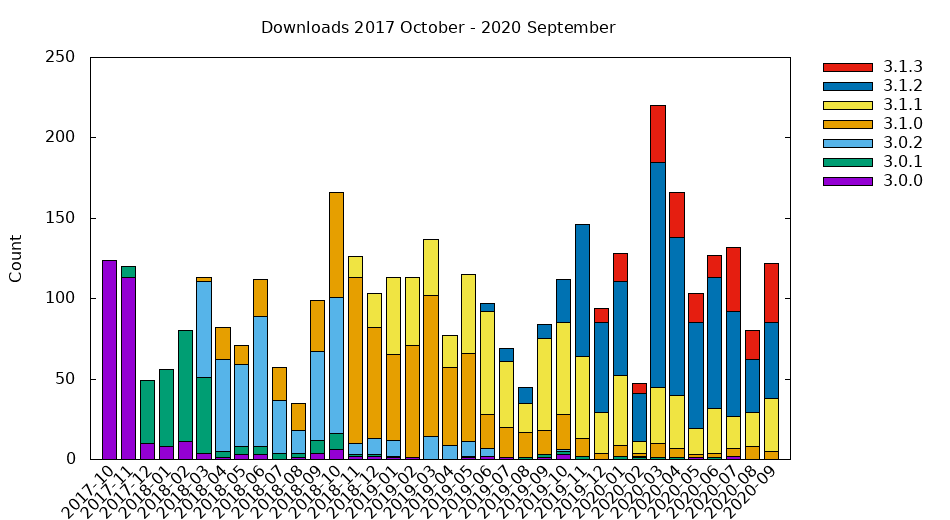
Users can select source or binary releases. Linux and Windows operating systems are supported. See the installation guide.
GeoEasy available in different languages. You can localize GeoEasy to your language, see wiki page
| Language | Translator(s) |
|---|---|
| Czech | Bc. Tomáš Bouček, Bc. Jana Špererová |
| Russian | звездочёт (zvezdochiot) |
| German | Gergely Szabó, Csaba Égető |
| Hungarian | Zoltán Siki |
| English | Andras Gabriel, Zoltán Siki |
| Spanish | Andres Herrera |
- Tcl/Tk (https://www.tcl.tk/) the programming language for the project
- GNU Gama (https://www.gnu.org/software/gama/) for network adjustment
- Triangle (https://github.com/MrPhil/Triangle) for DTM
- Proj cs2cs (http://proj.org/) for KML and GPX export
- Nullsoft Scriptable Install System (http://nsis.sourceforge.net/Main\_Page) to create the Windows installer
- Freewrap (http://freewrap.sourceforge.net/) to convert Tcl/Tk scripts to Linux/Windows executables
- bash-deb-build (https://github.com/BASH-Auto-Tools/bash-deb-build) to build debian package
- rst2pdf (https://rst2pdf.org) to generate pdf docs from rst
- pngquant (https://pngquant.org) to reduce the size of png images in the docs
- TclDoc (https://wiki.tcl-lang.org/page/tcldoc) to generate developer documentation from sources
