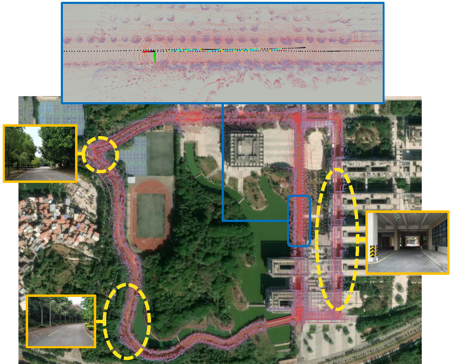
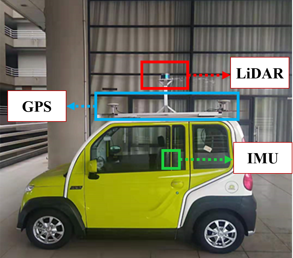
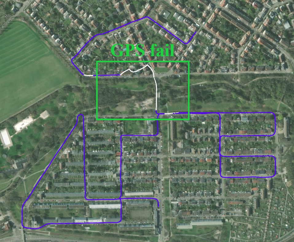
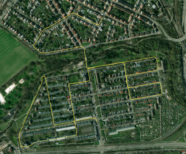
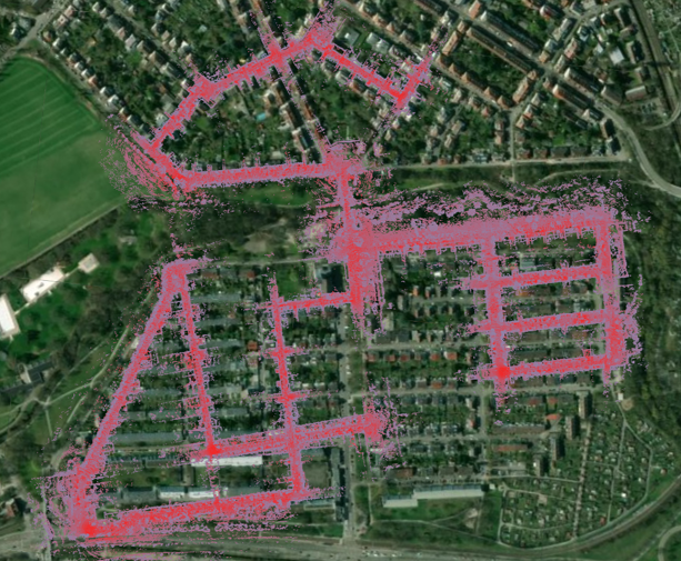
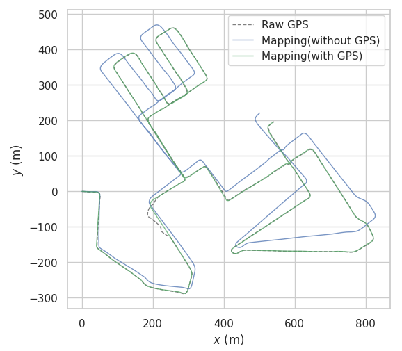
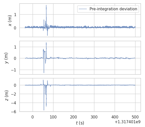
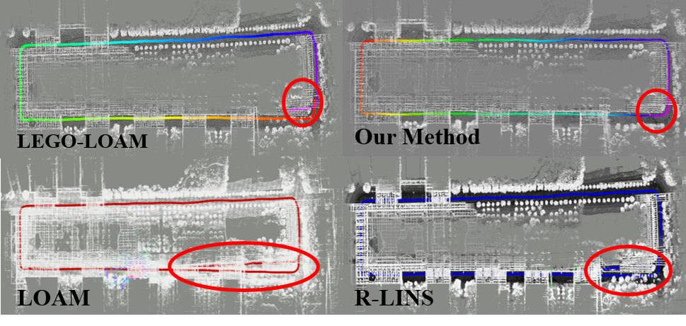
We propose a system that can fuse IMU, LiDAR and intermittent GPS measurements to achieve high precision localization and mapping in large-scale environment. The Iterated Error-State Kalman Filter (IESKF) is used to fuse IMU and LiDAR measurements to estimate relative motion information quickly. Based on the factor graph, LiDAR, GPS measurements and loop-closure are transformed into constraints for joint-optimization to construct global map. A real-time GPS outlier detection method based on IMU pre-integration theory and residual chi-square test is designed. In addition, the use of robust kernel is supported to implicitly reduce the impact of undetected GPS outliers on the system. A LiDAR-based loop-closure detector is designed, which can search for a pair of point clouds with similar geometric information.
The main contributions can be summarized as follows:
-
An IESKF is applied to tightly couple IMU and LiDAR to implement LIO algorithm. The motion information can be estimated by LIO quickly and accurately.
-
A robust and sensitive GPS outlier detection method is proposed. It can detect GPS outliers and reduce the impact of outliers on the system.
-
A lightweight and precise loop-closure detection method is proposed. It can evaluate the similarity between point clouds, and correct the error in pose graph.
- ROS (tested with Melodic)
- gtsam (Georgia Tech Smoothing and Mapping library)
- cloud_msgs
- xw_gps_driver
cd ~/catkin_ws/stc
git clone https://github.com/GDUT-Kyle/lins-gps-iris.git
cd ..
catkin build lins
- The system can set the dynamic parameter "useGPSfactor" in the launch file to determine whether it needs to integrate GPS data.
- If the GPS data is integrated, the user needs to calibrate the GPS module and the external parameters of the LiDAR in advance.
- After setting "SaveMap" to true, the mapping module of this system can save the feature point map for relocation.
- In this system, GPS data is our custom ROS message type, users can refer to xw_gps_driver.
Our own collected datasets contain high-precision mapping information. Since we do not have surveying and mapping qualifications, we do not share the dataset due to legal issues.
roslaunch lins imuOdometry.launch
roslaunch lins run_port_exp.launch
roslaunch lins localization.launch
