Geo-Tiles for Semantic Segmentation of Earth Observation Imagery
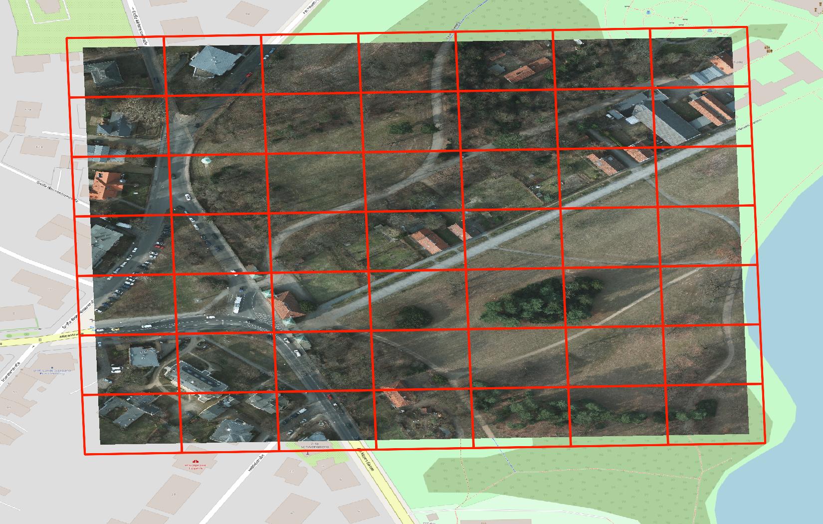
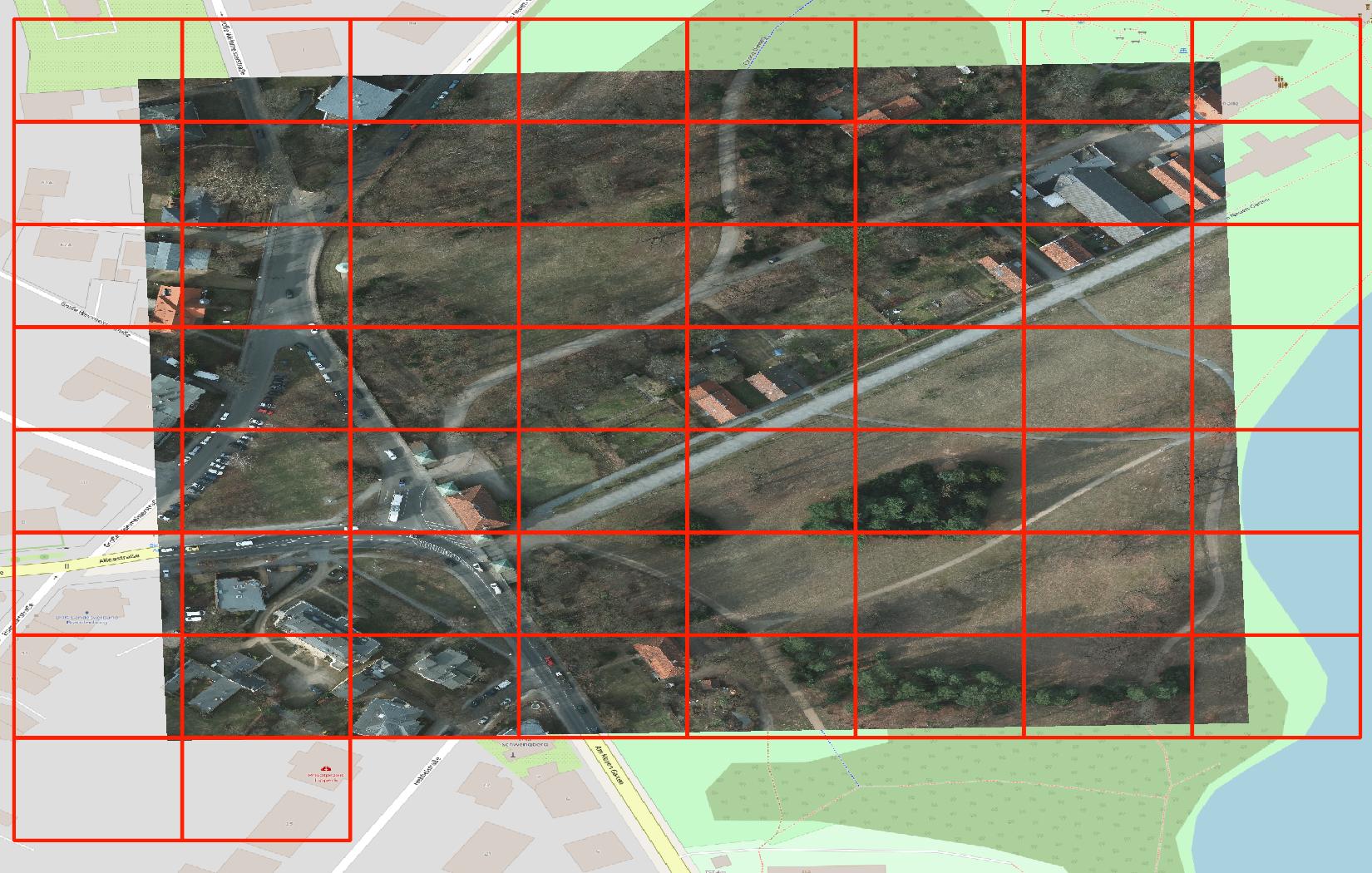

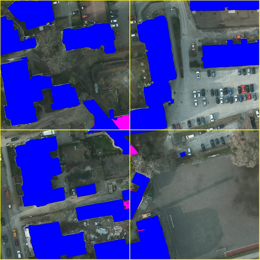
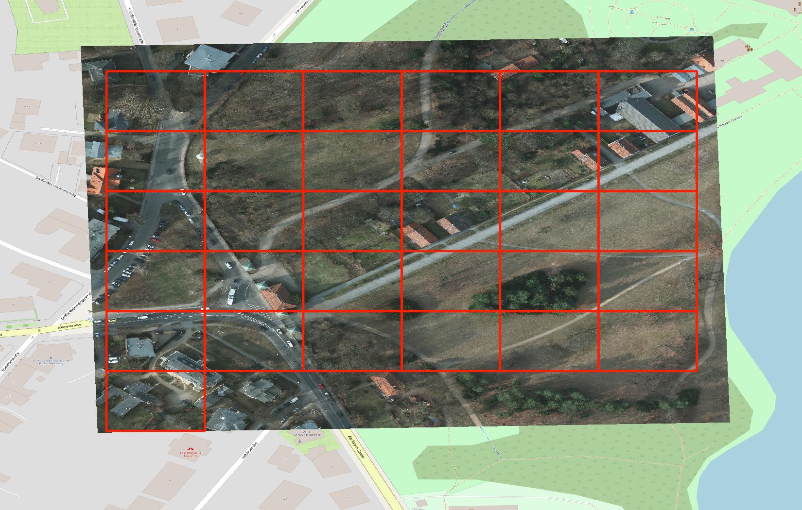 Proposed tiling approach using 45m tiles (left) in comparison to commonly used web map tiles on zoom level 19 (right).
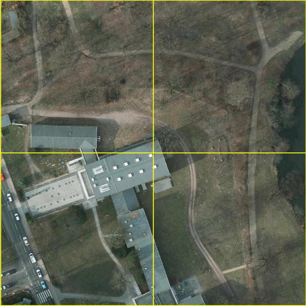
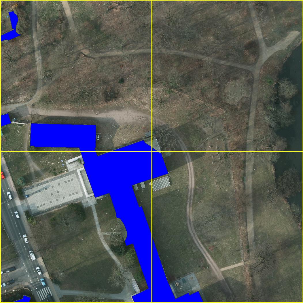
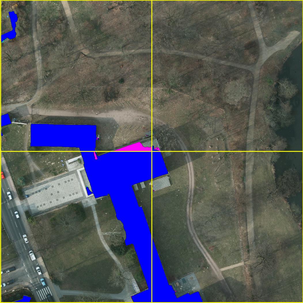
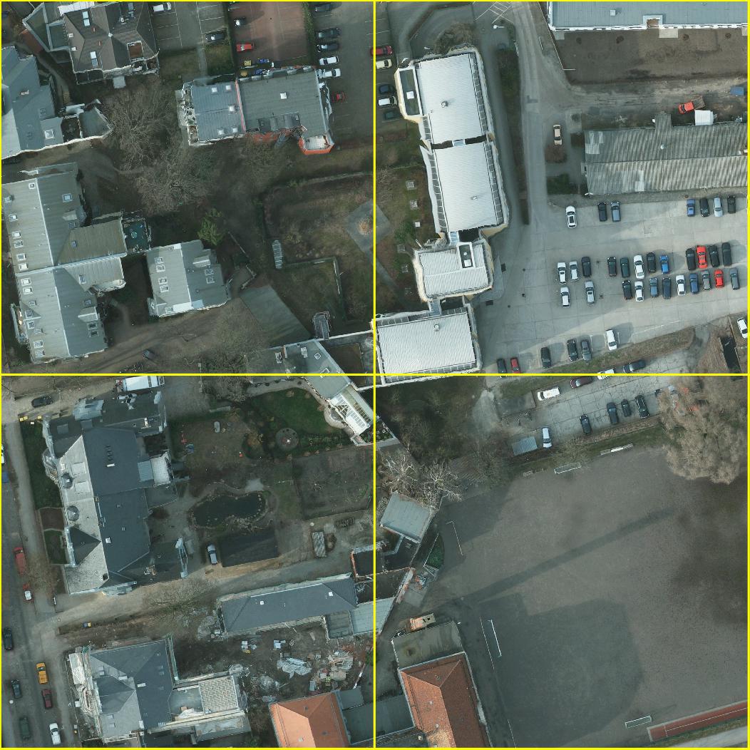
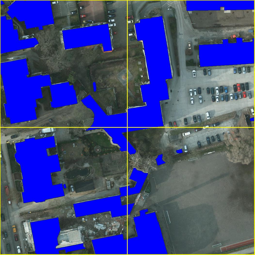
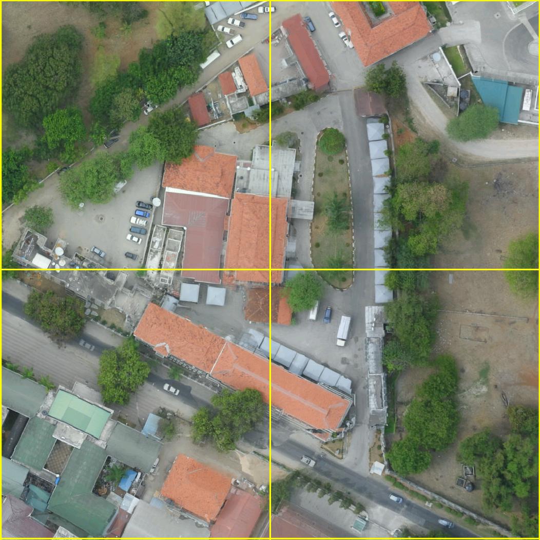
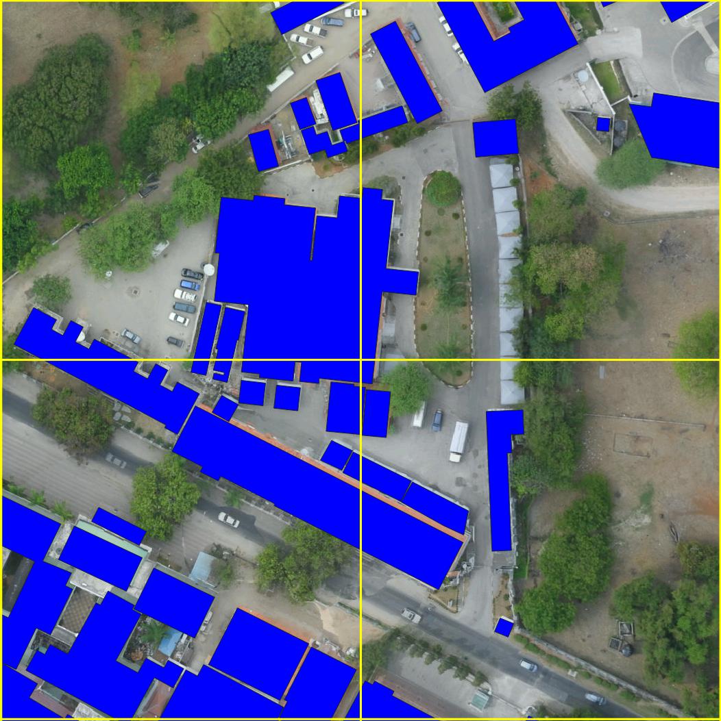
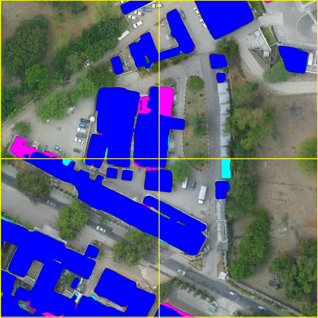
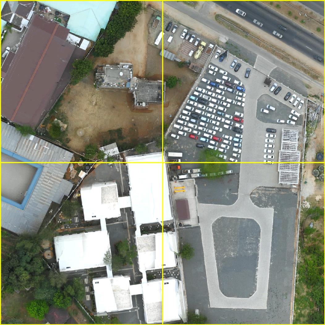
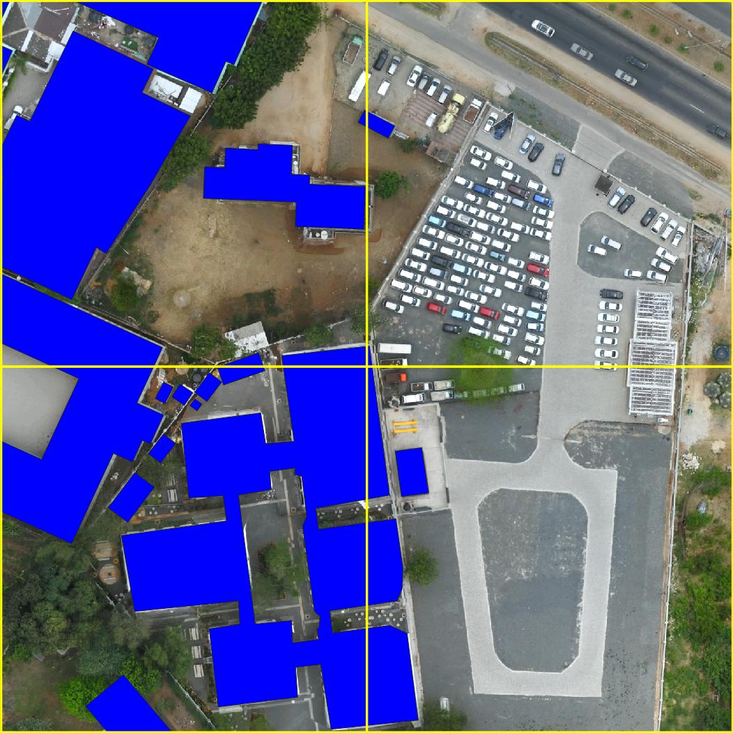
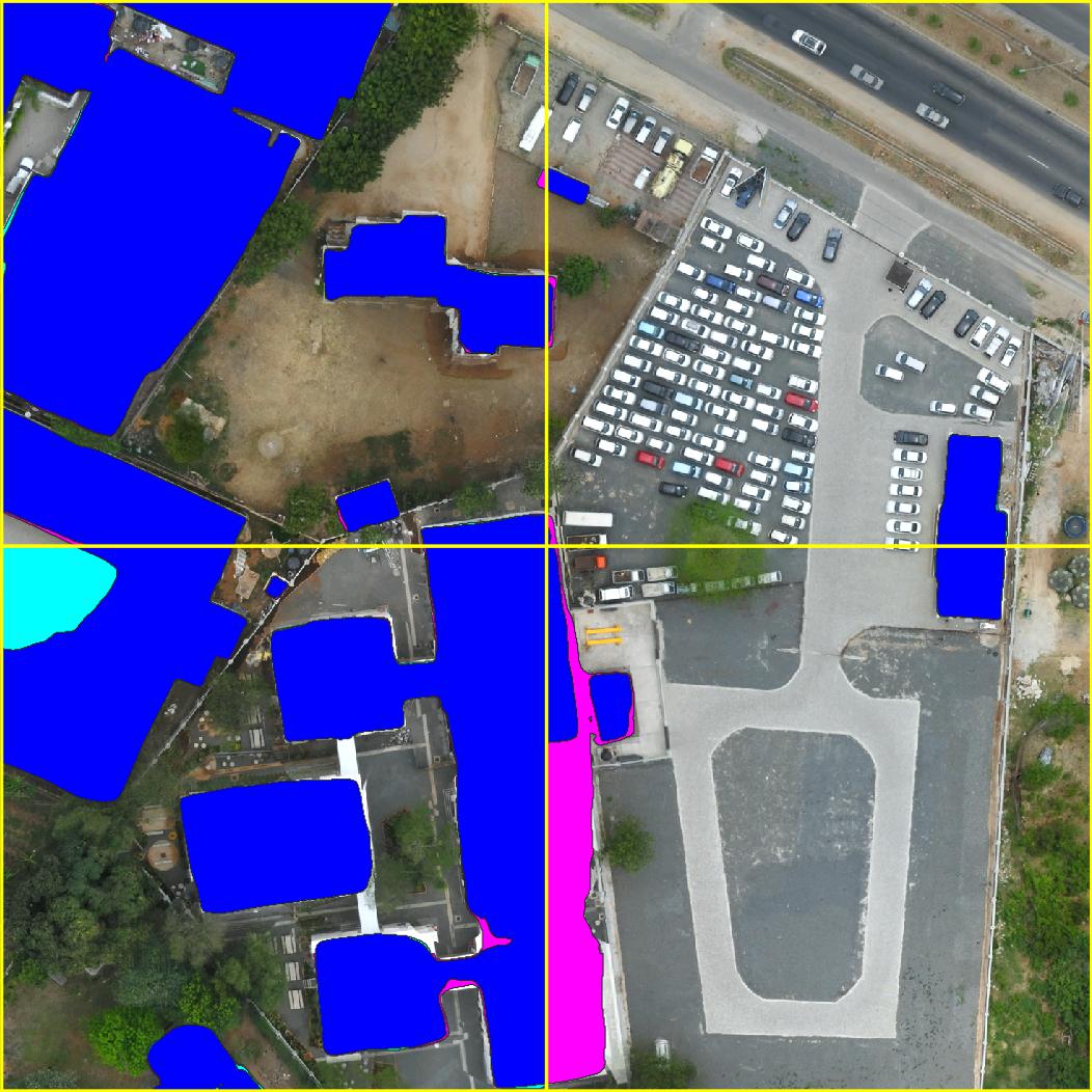 Left: input image. Center: ground truth of building category. Right: blue pixels are building category predictions of a ConvNext based model, pink building pixels are building predictions obtained by fusing overlapping tiles, teal pixels are building predictions removed by fusing overlapping tiles.