[TOC]
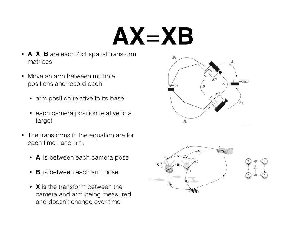
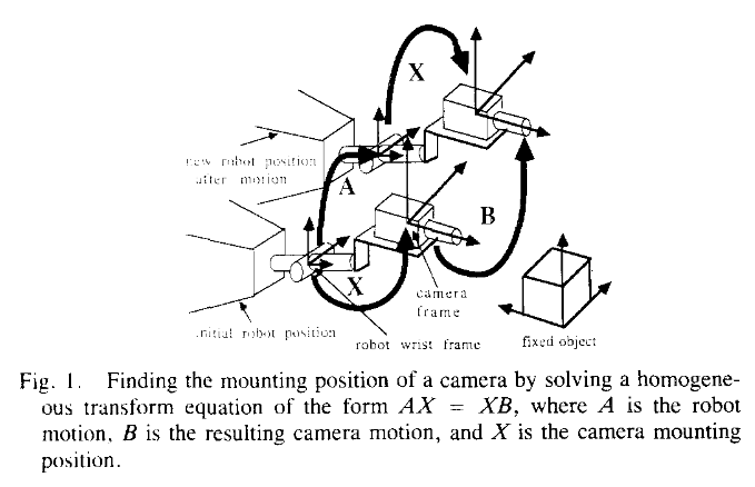
使用手眼标定法计算Lidar和INS(RTK or IMU)的相对姿态
https://github.com/jhu-lcsr/handeye_calib_camodocal
[论文](doc/Optimal Hand-Eye Calibration.pdf)
geometry_msgs::PoseWithCovarianceStamped
http://docs.ros.org/lunar/api/geometry_msgs/html/msg/PoseWithCovarianceStamped.html
catkin_ws/src目录下
git clone http://192.168.10.192:8800/quchunlei/lidar_rtk_calib.git
cd ../
catkin build
source devel/setup.zsh -
消息格式
topic msg 点云 sensor_msgs/PointCloud2 rtk sensor_msgs/NavSatFix imu sensor_msgs/Imu -
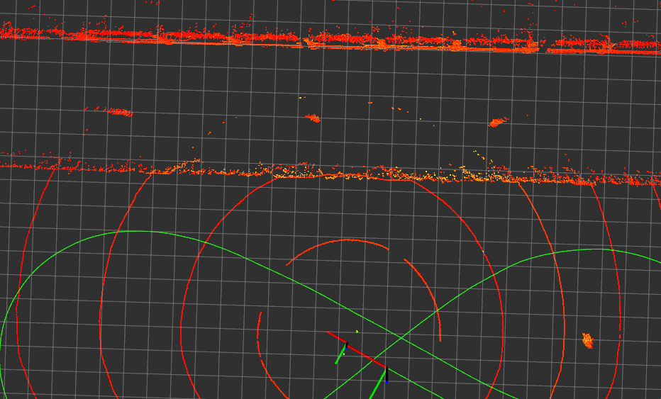
在室外开阔场地,周围有建筑物,如下图
-
录制数据
车辆先静止2-5秒,再以5公里每小时的速度行驶2个
8字形rosbag record -a
smb: /xxx/cali_8zixing_rtk.bag
md5: 00fa5625d8b3d6a8077ce73f654228a5
roslaunch lidar_rtk_calibration run_calib.launch
run_calib.launch
| 备注 | ||
|---|---|---|
| calib_bag_file | 使用绝对路径 | |
| imu_topic | rtk自带的imu | |
| lidar_topic | ||
| rtk_topic | ||
| lidar_pose_file | lidar每一帧的位姿 | 从rs_mapping 工具包得到 |
| save_file | 输出数据 | 使用绝对路径 |
其中lidar_pose_file的格式为:
| pos_x | pos_y | pos_z | ori_x | ori_y | ori_z | ori_w |
|---|
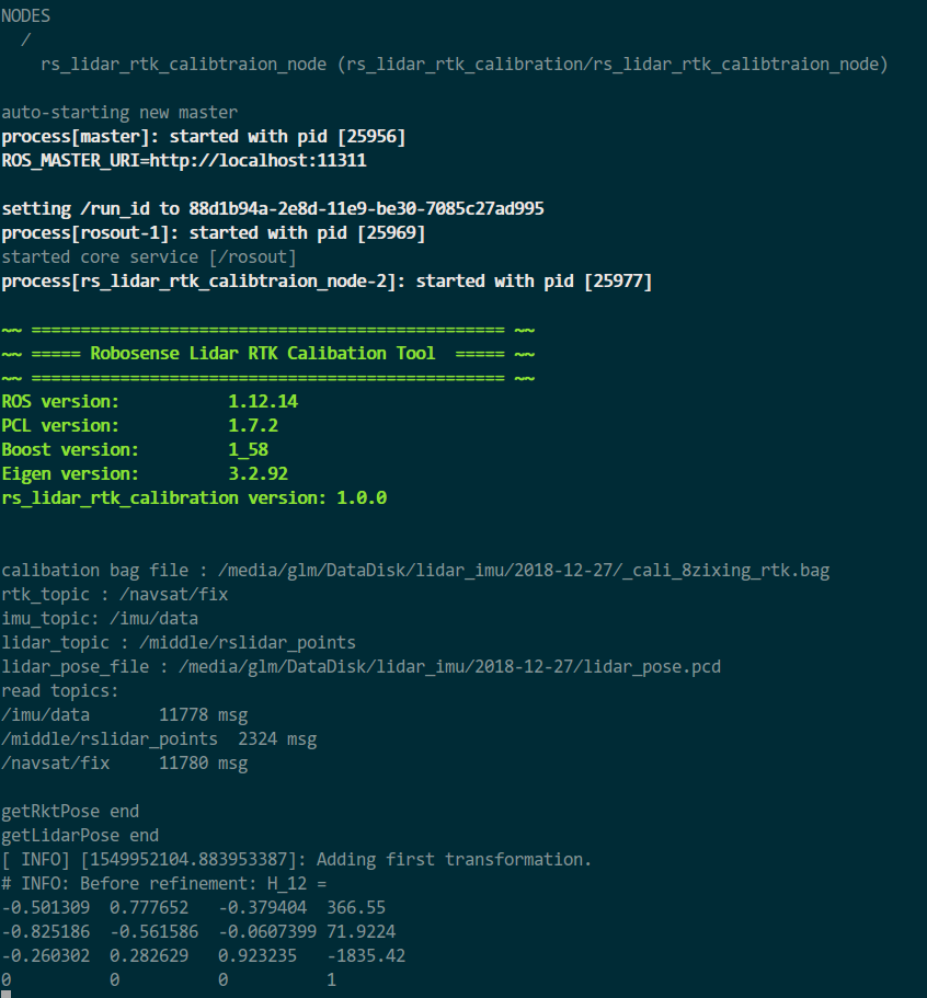
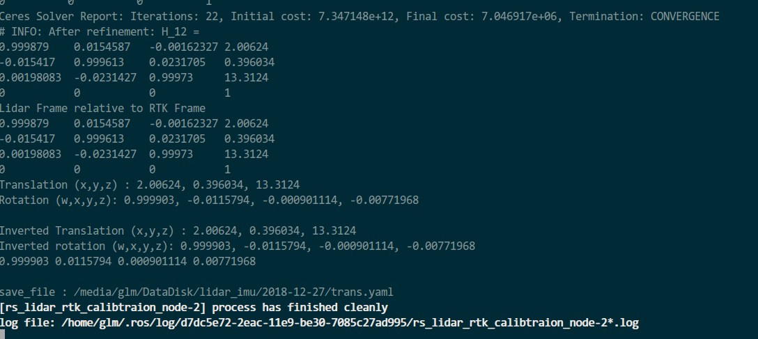
计算过程需要几十秒,计算结束
Translation (x,y,z) : 2.00624, 0.396034, 13.3124(手动改为0)
Rotation (w,x,y,z): 0.999903, -0.0115794, -0.000901282, -0.00771969
标定结果z值需要手动改为0或测量值
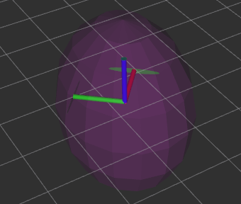
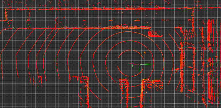
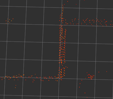
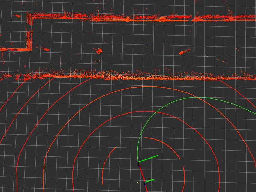
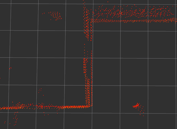
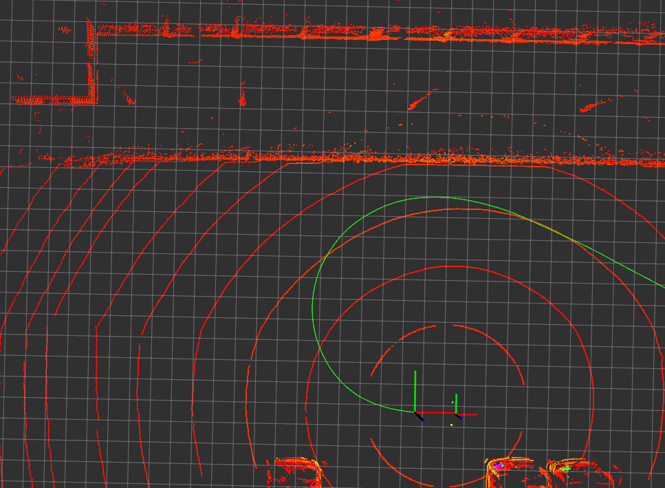
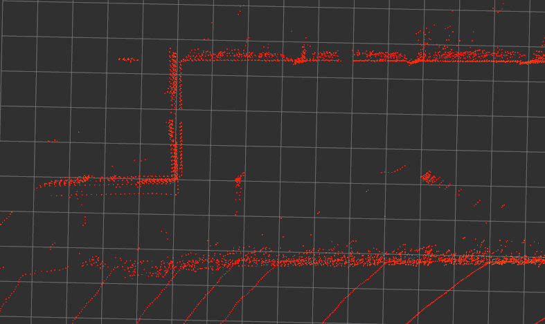
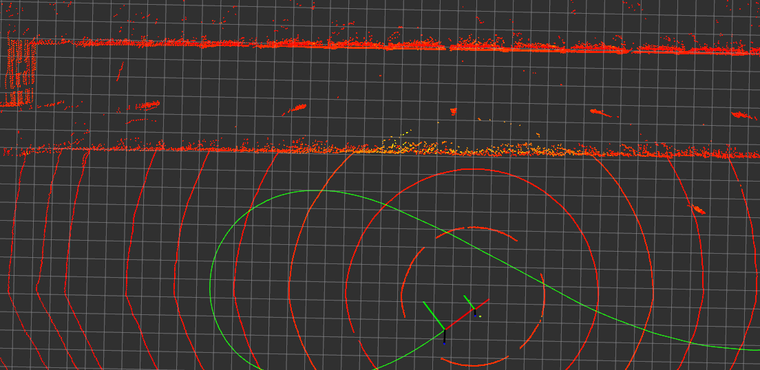
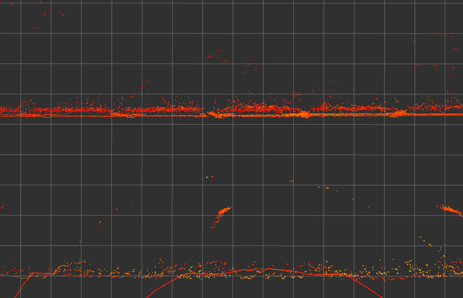
roslaunch rs_lidar_rtk_calibration sim_rtk_mapping.launch修改launch文件的topic和标定参数,理想的标定结果下,点云在固定坐标系odom下保持静止。错误的标定结果会导致车辆掉头后点云上下和左右移动。IMU测量值的抖动或导致点云绕基准摇晃,这不是标定错误导致的。
