A devkit for the Canadian Adverse Driving Conditions dataset.
This will download all raw or labeled data into the given folder.
This dataset is licensed under the Creative Commons Attribution-NonCommercial 4.0 International License.
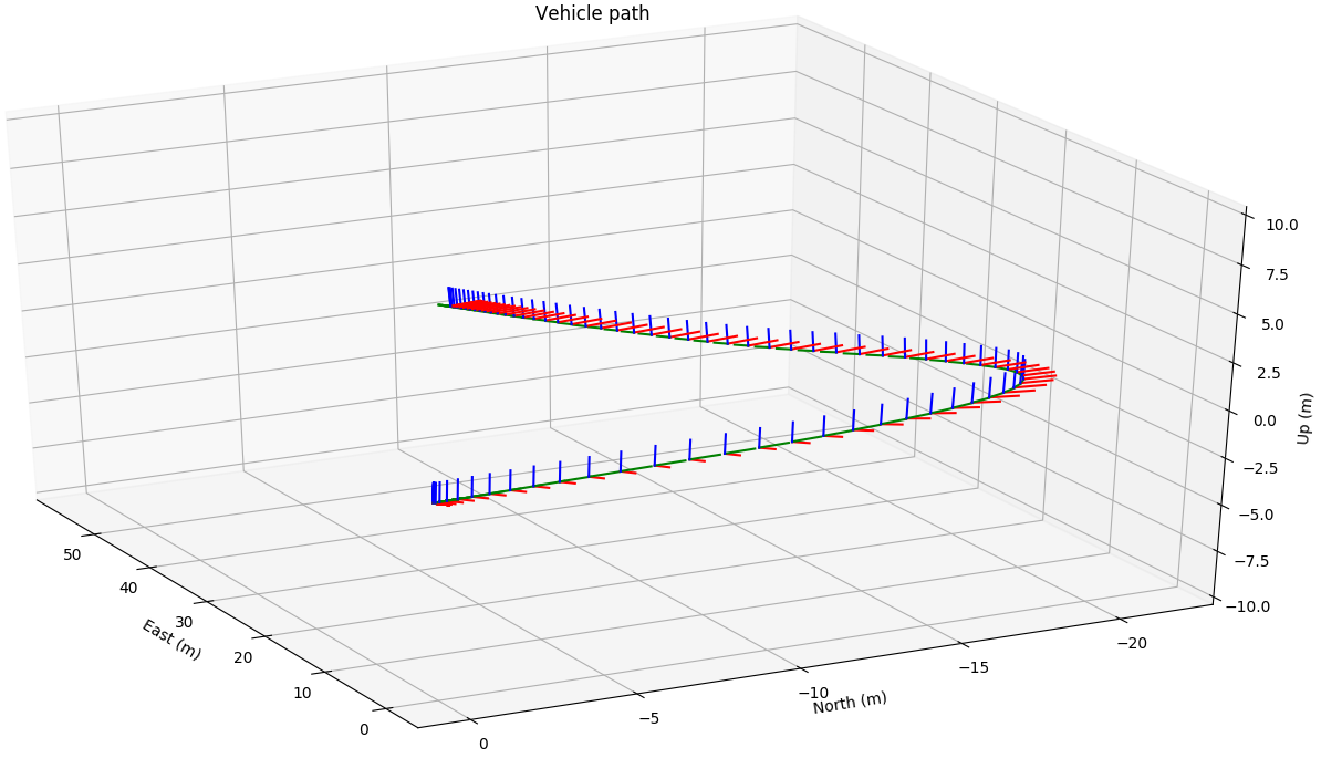
This script loads all GPS messages in a drive, converts them to an ENU frame with the origin at the first message and plots each message as an axis frame.
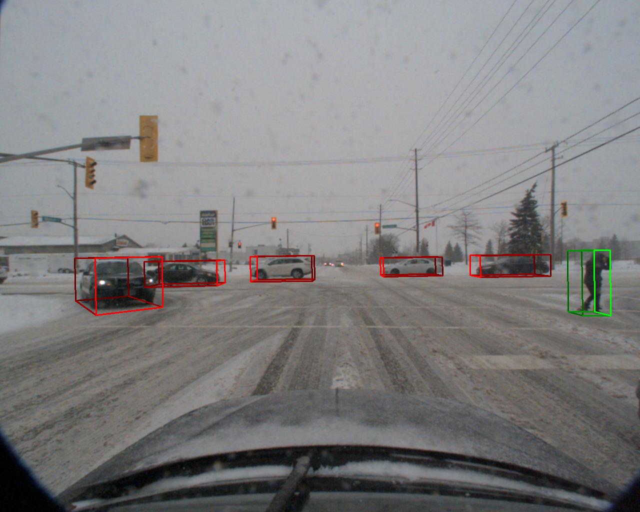
This script loads a camera image and the corresponding 3D annotation file in a drive, loads the calibration data, then creates and projects each cuboid within the frame onto the camera image.
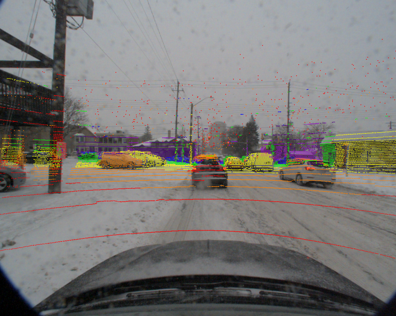
This script loads a camera image and the corresponding lidar file in a drive, loads the calibration data, then projects each lidar point onto the camera image. Point color is scaled by depth.
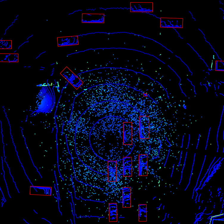
This script loads lidar data and the corresponding 3D annotation file in a drive, then creates a birds eye view of the lidar point cloud with the cuboid boxes overlaid. Script created by asvath and also located here.
Please view asvath's cadcd repository.
@misc{pitropov2020canadian,
    title={Canadian Adverse Driving Conditions Dataset},
    author={Matthew Pitropov and Danson Garcia and Jason Rebello and Michael Smart and Carlos Wang and Krzysztof Czarnecki and Steven Waslander},
    year={2020},
    eprint={2001.10117},
    archivePrefix={arXiv},
    primaryClass={cs.CV}
}


