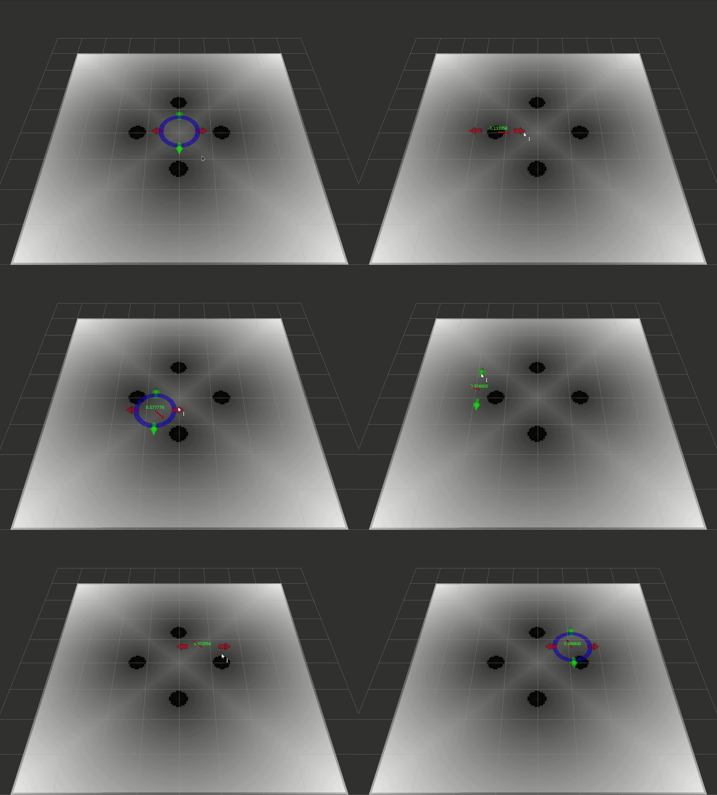
A package for converting OccupancyGrid/Costmap2D to 2D distance map.
The distance_map package provides a 2D Distance Map class (see Distance Transform) together with the means to generate it, convert it, send it and visualize it.
- Maintainer status: maintained
- Maintainer: Jeremie Deray deray.jeremie@gmail.com
- Author: Jeremie Deray deray.jeremie@gmail.com
- License: Apache-2.0
- Bug / feature tracker: https://github.com/artivis/distance_map/issues
- Source: git https://github.com/artivis/distance_map.git (branch: master)
| Kinetic | Melodic |
|---|---|
Quick Start • Quick Example • Plugins • Contributing
$ apt-get install ros-melodic-distance-map
$ git clone https://github.com/artivis/distance_map.git
$ catkin build distance_map
Once all distance_map packages are built, one can run an example as follows,
roslaunch distance_map_node example.launch
This command will :
- start a
map_serverproviding a simple map - start the distance_map node
- start
rviz - start an interactive marker to introspect the distance_map
You should see the following window,
Available plugins:
- distance_map_opencv A plugin for OpenCV distance map
- distance_map_deadreck A plugin for the Dead Reckoning Distance Map
Under development plugins:
- None at this time.
distance_map is developed according to Vincent Driessen's Gitflow Workflow. This means,
- the
masterbranch is for releases only. - development is done on feature branches.
- finished features are integrated via PullRequests into the branch
devel.
For a PullRequest to get merged into devel, it must pass
- Review by one of the maintainers.
- Are the changes introduced in scope of distance_map?
- Is the documentation updated?
- Are enough reasonable tests added?
- Will these changes break the API?
- Do the new changes follow the current style of naming?
- Compile / Test / Run on all target environments.
This work originated at PAL Robotics, with the participation of Sai Kishor Kothakota
