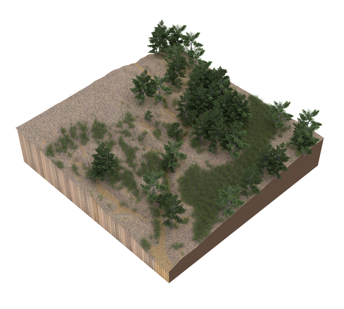
This course is an introduction to geospatial modeling for landscape architects. In this course you will develop a creative digital design process seamlessly integrating research and design using geographic information systems (GIS), 3D modeling and rendering, and visual programming. You will learn how to use geospatial data to model and analyze landscapes and visual programming to parametrically model and transform new landforms. You will learn how to model plants - from trees to grasses - in 3D, automatically distribute them across your digital landscape, and render photorealistic scenes. Through a series of 3D modeling projects you will design the restoration of a highly eroded landscape with a deep gully.
Assignments | Projects | Jupyter Notebooks | Readings | Terminology
Resources | Geospatial data sources
Software | GRASS GIS | ArcGIS | Rhino | Blender
Add-ons | r.geomorphon | r.skyview | r.lake.series | r.stream | r.sun.daily | r.sun.hourly | r.sim.terrain | RhinoTerrain | Neon | BlenderGIS
Libraries | Xfrog | TheGrove3D | Cycles Material Vault
Tutorials | lecture.lsu.edu/ | Intro to GRASS GIS | BlenderGIS wiki
Gallery | Student work 2017
-
Geospatial modeling
- Airborne lidar
- Terrestrial lidar
- Unmanned aerial systems
- Photospheres
Project | Gully monitoring
- Terrain modeling
- Digital fabrication
- Hydrological modeling
- Erosion modeling
- Landscape evolution
Project | Physical simulation
-
Generative design
- Freeform modeling
- Visual programming
- Parametric landforms
- Map algebra
- Generative processes
- Attractors
Project | Families of form
-
Ecosystem modeling
Project | The great piece of turf
- Image classification
- Landform classification
- Landscape modeling
- Landscape rendering
- Bioengineering
- Freeform modeling
- Virtual reality
Project | Gully restoration
Open access data for this course can be downloaded from:
Students enrolled in the Louisiana State University course LA 7032 Media III should submit their work via the course network drive.
- Windows:
\\desn-knox.lsu.edu\Landscape-Classes - Mac:
smb://desn-knox.lsu.edu/Landscape-Classes
Additional resources are available on the lab network drive.
- Windows:
\\desn-knox.lsu.edu\CADGIS_SHARE - Mac:
smb://desn-knox.lsu.edu/CADGIS_SHARE
Open educational materials licensed CC BY-SA 4.0 by Brendan Harmon 🐵. The license does not apply to logos, fonts, linked material, data, quotations, or reprinted images by other authors, which may have different licenses. The fonts used in this repository are licensed under the SIL Open Font License by their authors. The syllabus is based on a latex template by Kieran Healy hosted at https://github.com/kjhealy/latex-custom-kjh.

