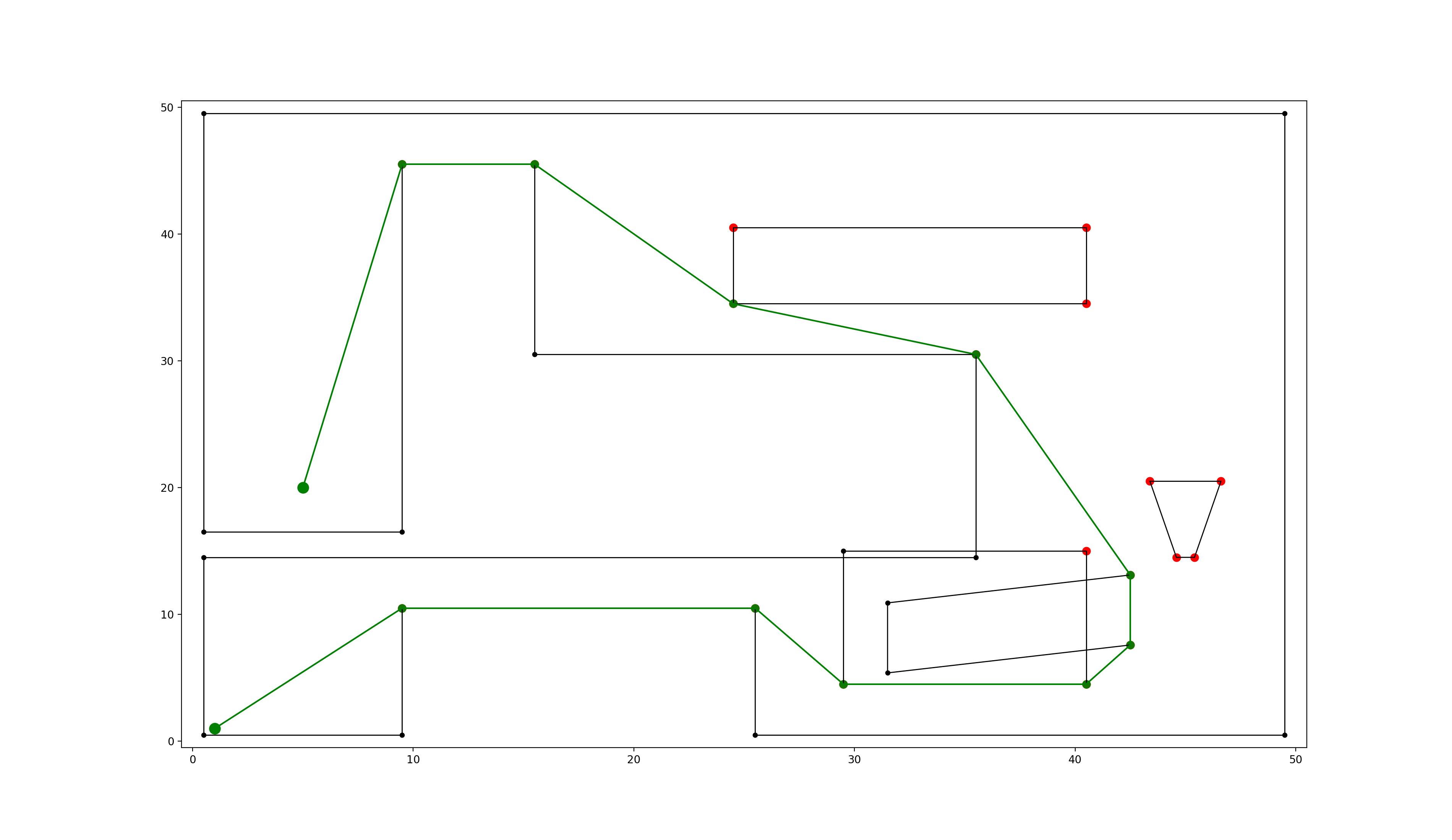

python package for fast geometric shortest path computation in 2D multi-polygon or grid environments based on visibility graphs.
Quick Guide:
pip install extremitypathfinder
from extremitypathfinder import PolygonEnvironment
environment = PolygonEnvironment()
# counter clockwise vertex numbering!
boundary_coordinates = [(0.0, 0.0), (10.0, 0.0), (9.0, 5.0), (10.0, 10.0), (0.0, 10.0)]
# clockwise numbering!
list_of_holes = [[(3.0, 7.0), (5.0, 9.0), (4.5, 7.0), (5.0, 4.0), ], ]
environment.store(boundary_coordinates, list_of_holes, validate=False)
environment.prepare()
start_coordinates = (4.5, 1.0)
goal_coordinates = (4.0, 8.5)
path, length = environment.find_shortest_path(start_coordinates, goal_coordinates)
For more refer to the documentation.
