Experiments drawing maps and plotting geocoded data using Cinder, OpenGL and the GeoJSON data format.
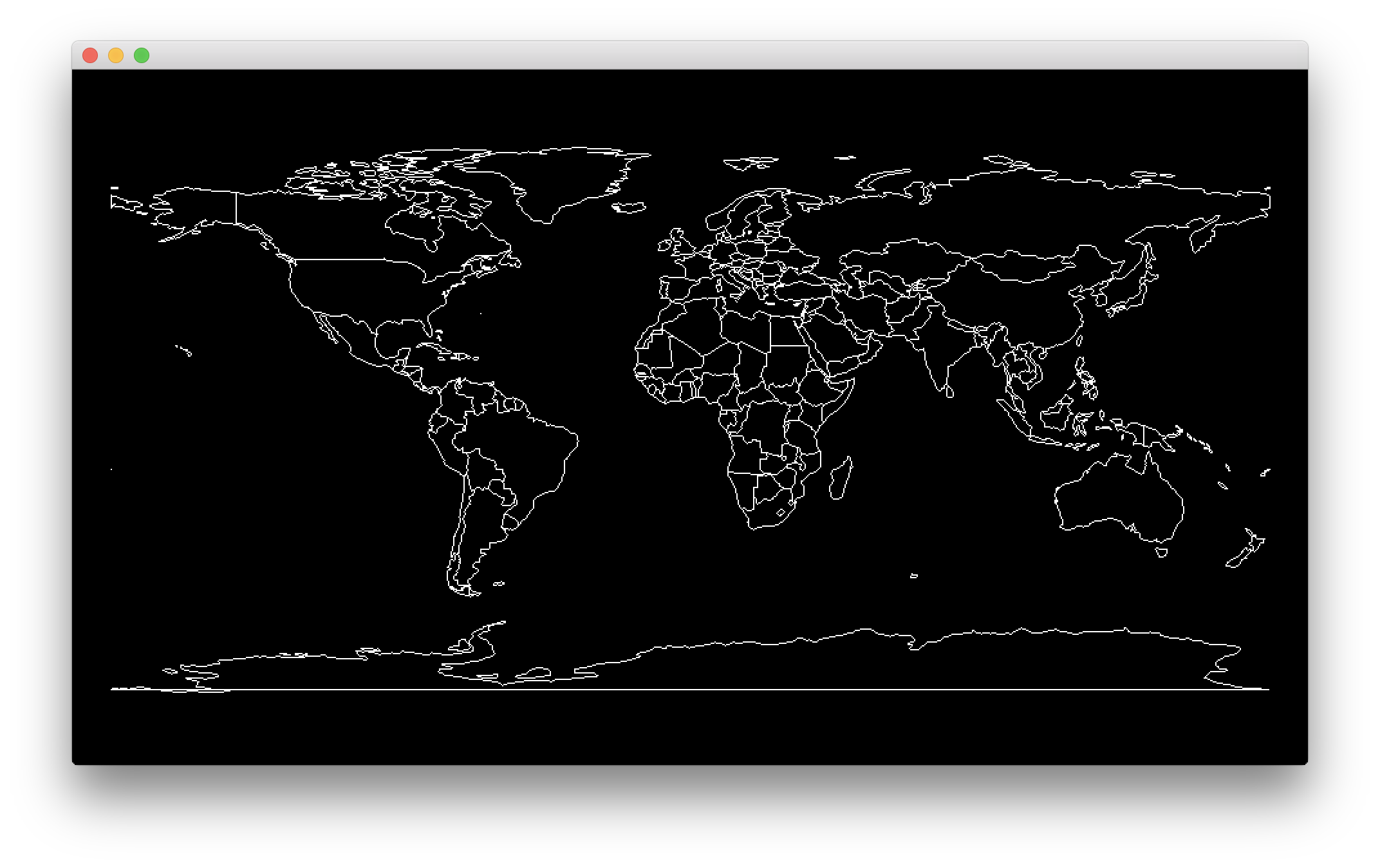
 The above is a screen shot from the most basic demo. It simply loads
 countries.geo.json, creates a ci::Shape2D object for each country and draws it to the screen.
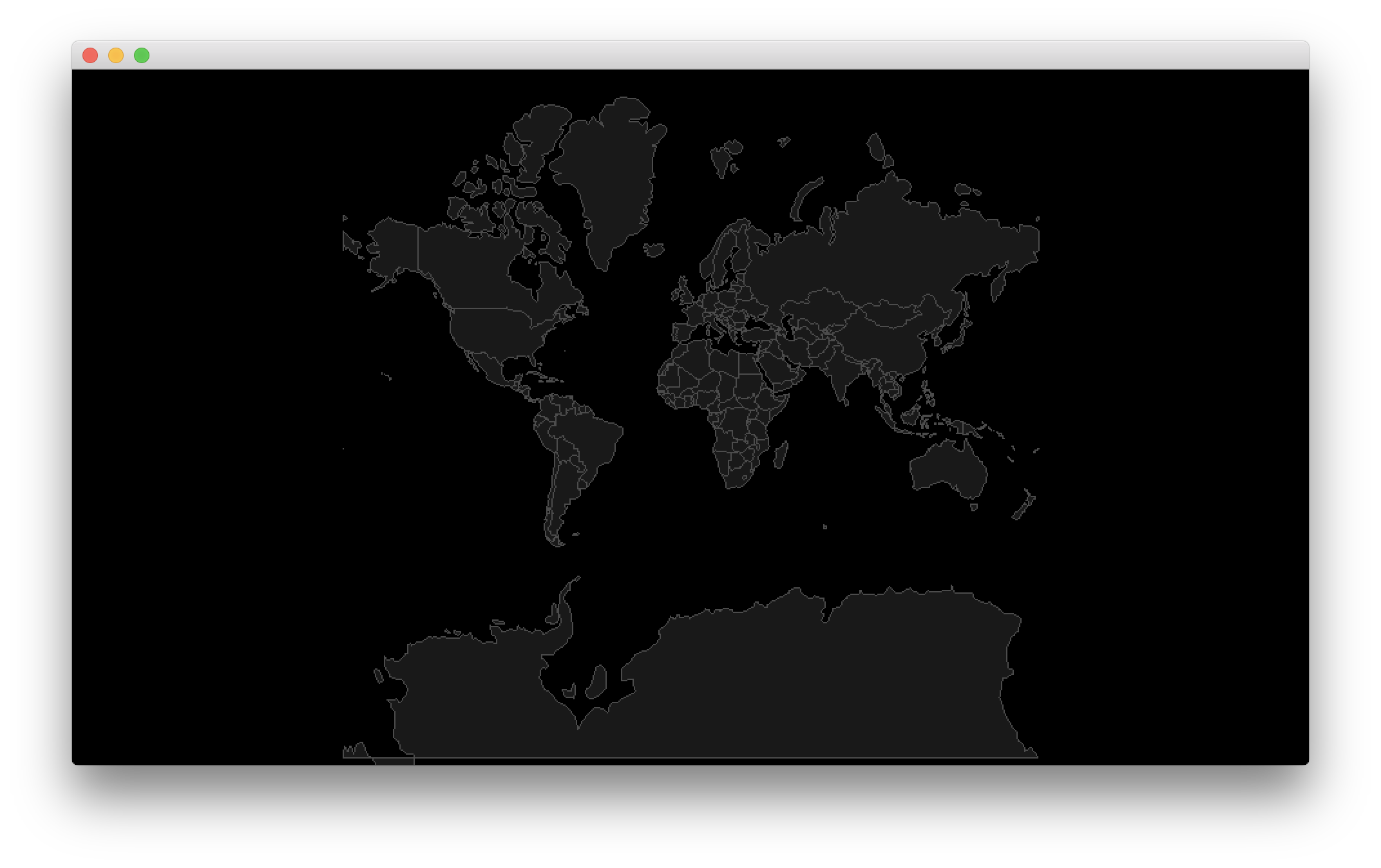
 The above is a screenshot of the countries map drawn with a standard Mercator projection.