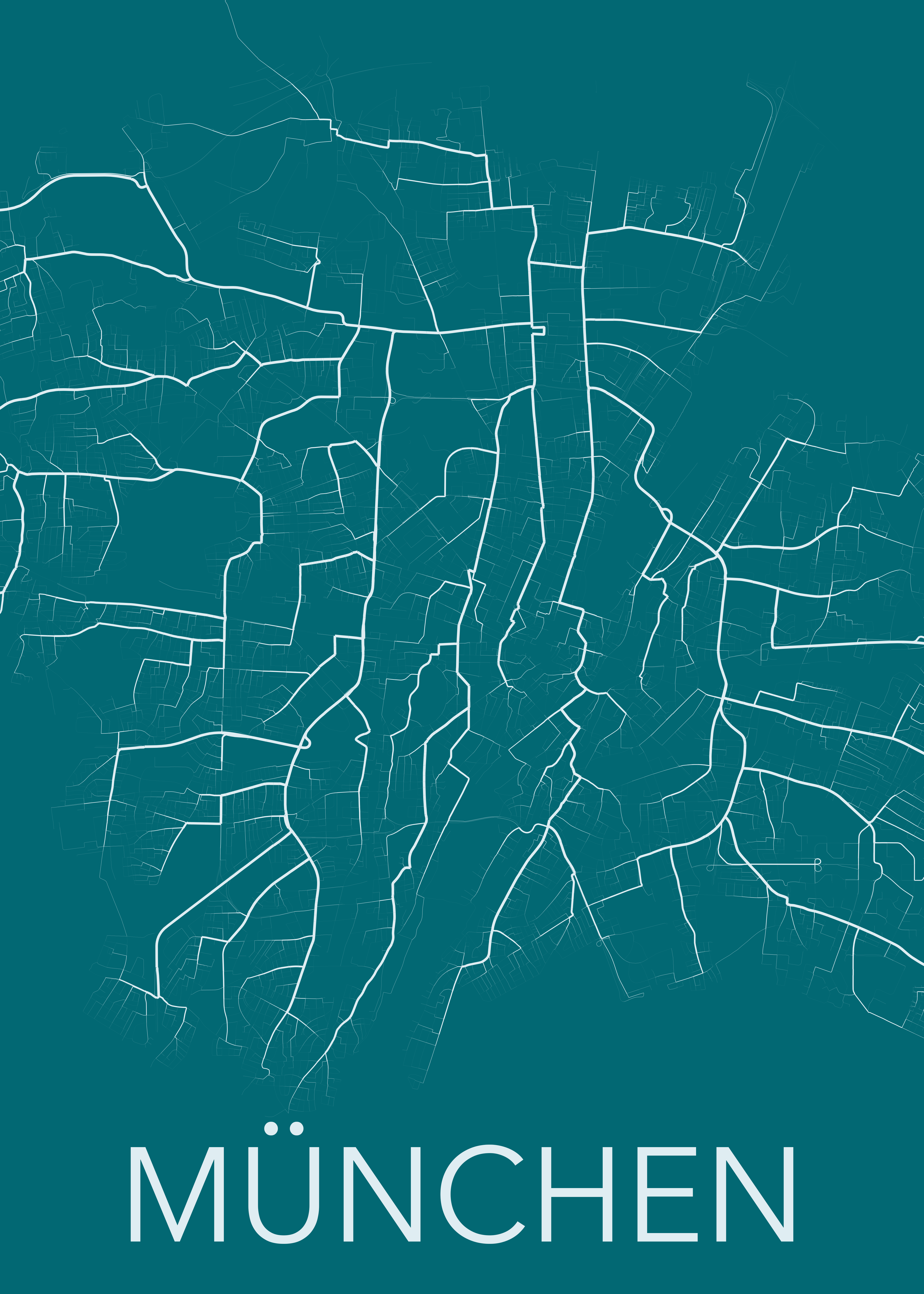
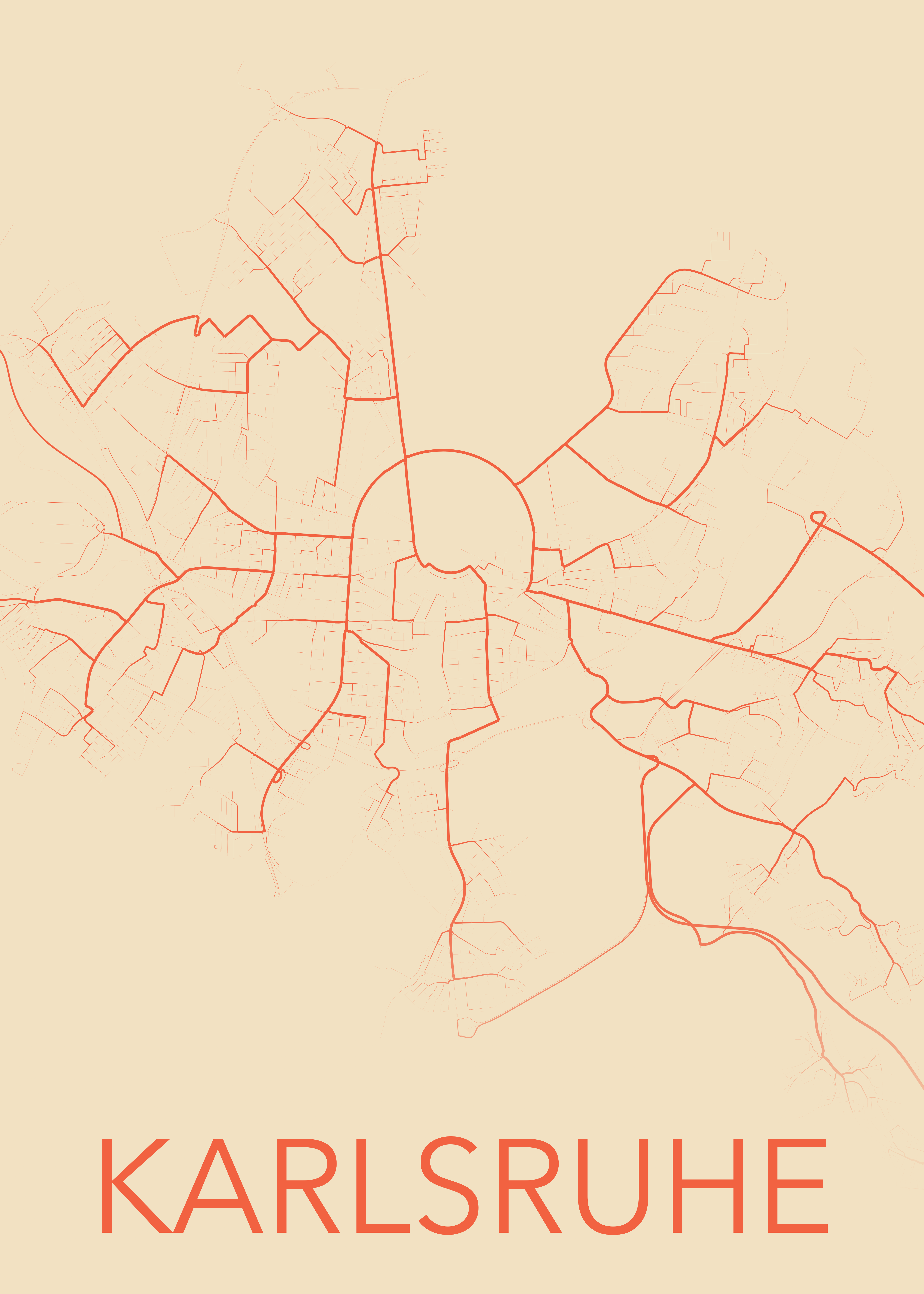
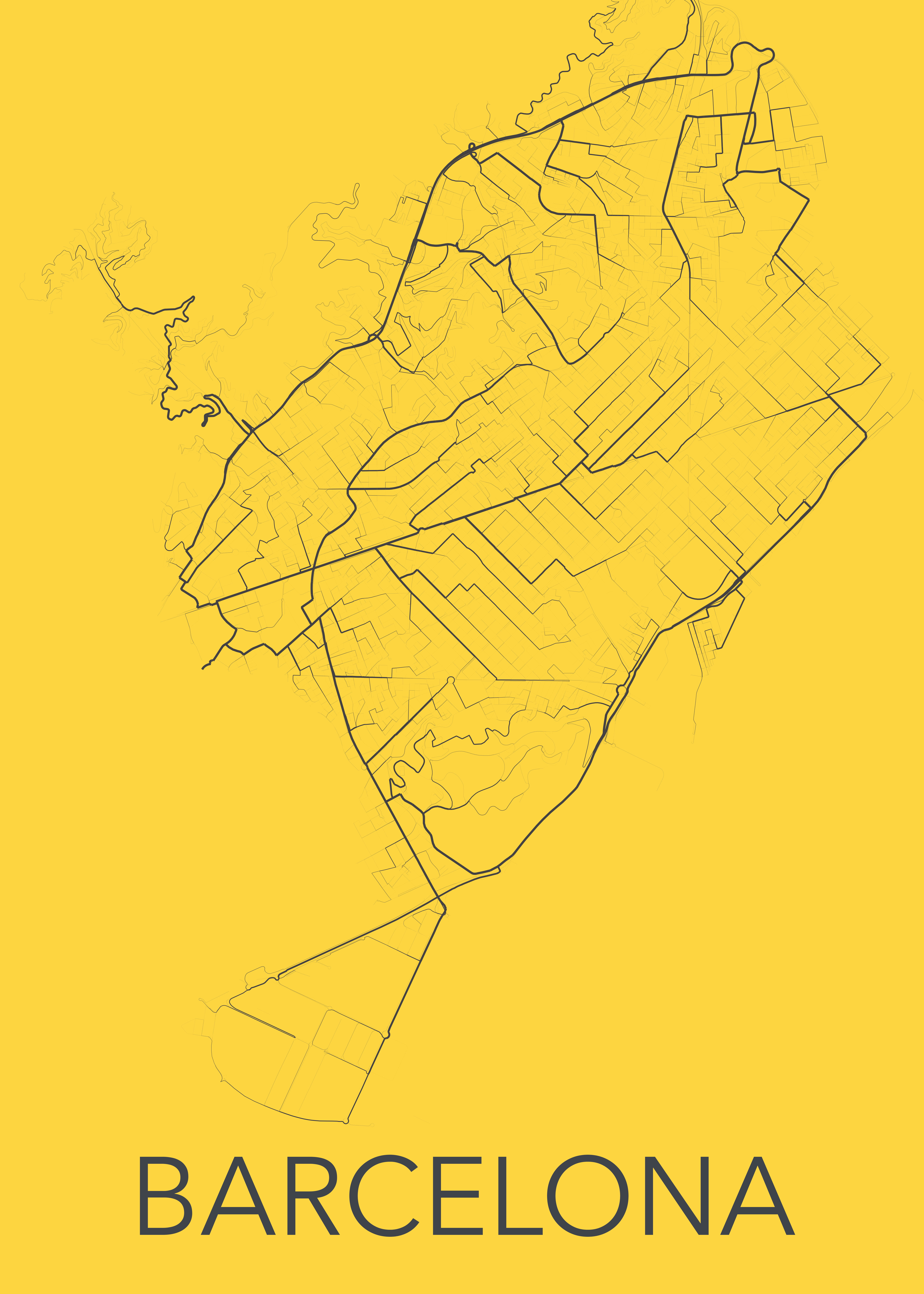
Create beautiful maps from shortest path calculations in your city.
These maps are created by calculating the shortest paths from every point in the city to a specified point on the map. The wider a road, the more often it's used as the shortest püath to reach a point.
To test it yourself, follow ShortestPaths.ipynb.
I recommend using Google Colab since computations may take a while.


