The spacey package provides three main functions to make it easy to
quickly build beautiful maps of locations in the United States via the
[rayshader](https://github.com/tylermorganwall/rayshader) package.
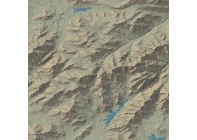
First off, it provides an automap function to quickly make maps using
data from the USGS national map:
library(spacey)
automap(44.121268, -73.903734)
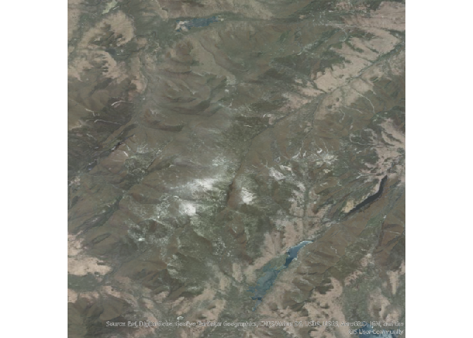
As well as letting you incorporate overlay textures from ESRI’s MapServer API:
automap(44.121268, -73.903734, overlay = "World_Imagery")
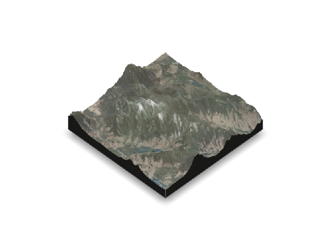
And optionally even turn these into 3D visualizations:
automap(44.121268,
  -73.903734,
  overlay = "World_Imagery",
  method = "3d"
)
And while automap tries to make it easy to configure these maps,
spacey also lets you save off your heightmaps and overlays directly,
either through arguments to automap or the functions get_heightmap
and get_overlay, so that you can work directly with rayshader to
make these maps by yourself.
There’s a lot more to these three functions, alongside a few basic
geospatial utilities spacey implements to make it easier to make maps
from your data. For more information, check out the introductory
vignette!
## Installation
If the CRAN version badge above is green, you can install the released
version of spacey from CRAN with:
install.packages("spacey")
You can always get the most up-to-date development version with:
# install.packages("devtools")
devtools::install_github("mikemahoney218/spacey")
At the moment, spacey consists mainly of the following functions:
automapuses a combination of sensible defaults to produce attractive square map outputs from a single central point location.get_heightmapretrieves an elevation map from the USGS for a specified boundary box and translates it into an R matrix.get_image_overlayretrieves a texture from ESRI for a specified boundary box and translates it into a matrix.
It also includes several helper functions, including:
get_coord_bounding_boxfinds the smallest rectangle required to contain a list of lat/long coordinates.get_centroid_bounding_boxfinds the corners of a square with diagonals a set distance from a central point, enabling map creation for a single central lat/long combination.get_centroidfinds the central point for matched vectors of latitude and longitude.load_heightmapcan import stored .tif files in order to used saved USGS national map data (or potentially other sources).load_overlayis an extremely thin wrapper around png::readPNG, used to read stored ESRI image overlay files.
At the moment, spacey is only able to retrieve data from the USGS
National Map API, limiting its use to the United States. If you have a
good API for other regions, open an issue or submit a PR!
Similarly, most geospatial calculations implemented in this package don’t deal well with areas near the poles or Prime Meridian. Given the spatial constraints of the USGS dataset, this isn’t a problem for current use cases, but be careful extending these functions outside of this package.


