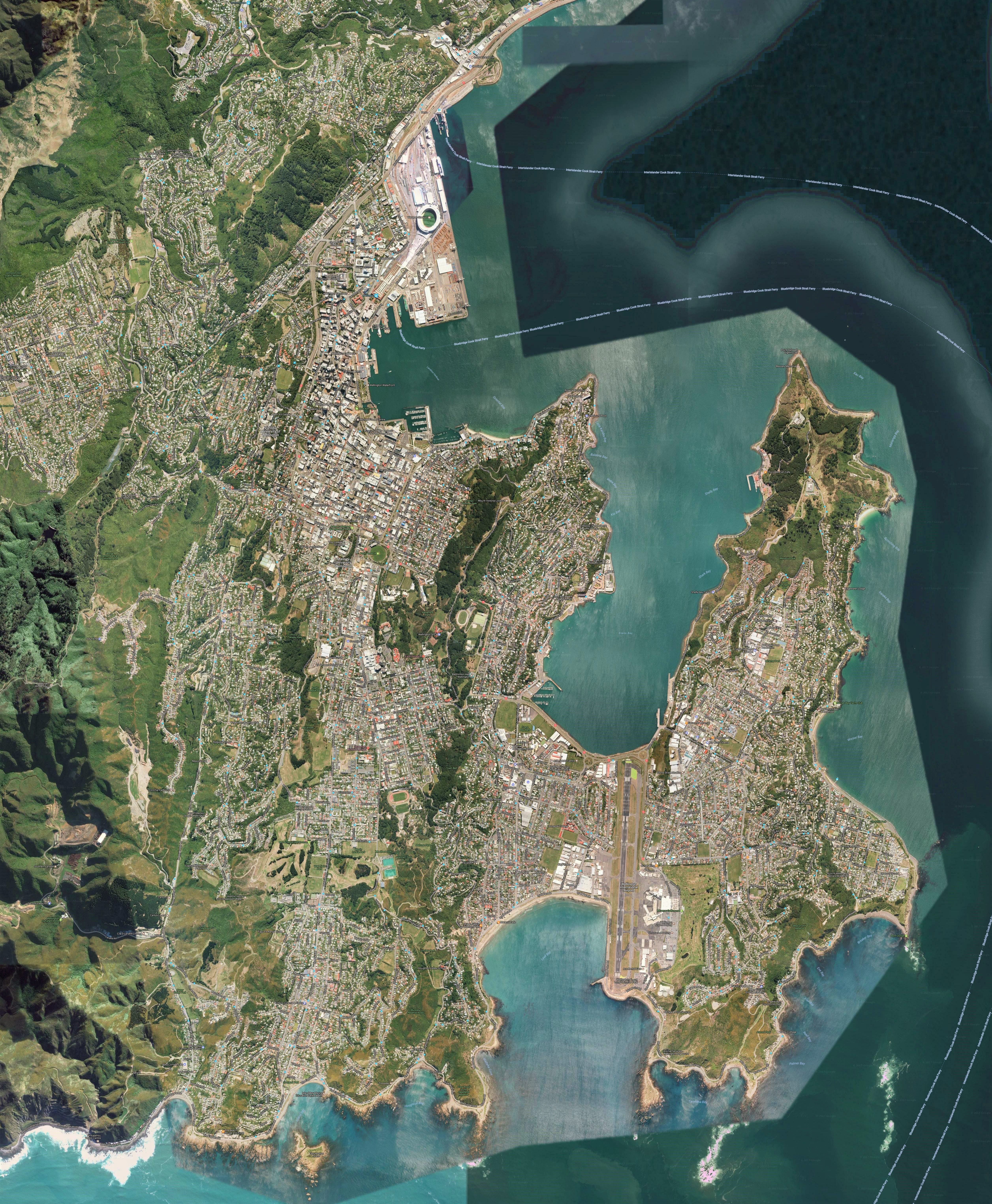
Stitch is a Python script to assemble extremely detailed satellite and terrain maps via stitching of content obtained via the Google maps API. A rectangle of latitude and longitude is specified (or generated via the coordinates tool available here), as well as the desired map dimensions. The appropriate tiles are then automatically downloaded and stitched together into a single map (which is cropped to precisely match the specified rectangle). An example of the kind of large maps you can make is shown below.
A Google maps app for selecting the map location is provided here.
