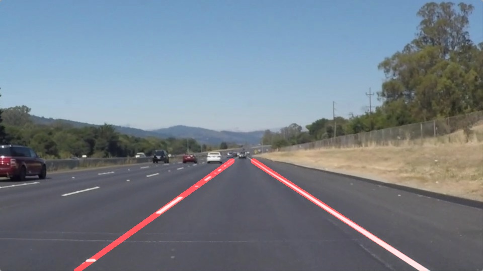
A simple 7 step pipeline for finding road lanes is described below.
- Grayscale the given image using
- Blur it using gaussian kernal for smoothening the image
- Use Canny edge detection to find edges all over the image.
- Filter the edges using prior knowledge of approximate lane location. This area is the region of interest.
- Use Hough Transform to find lines from edges in the region of interest.
- Filter out outliers within output of lines from above step based on a slop filter
- Calculating average slope of both lines and extrapolate lines to the correct coordinates based on initial assumption for region of interest.
Possible shortcomings
- Pipeline might fail during low/no light conditions.
- Pipeline might fail if lane markings donot stand out visually.
Possible improvements
- We could use GPS information to predict lane markings along with visual information. Not sure how to combine the two data properly though.
- Use lidar data of vehicles moving in the vicinity to create a pattern and assist lane prediction.

