Project for Probabilistic Robotics, Univ. La Sapienza Roma, 2020.
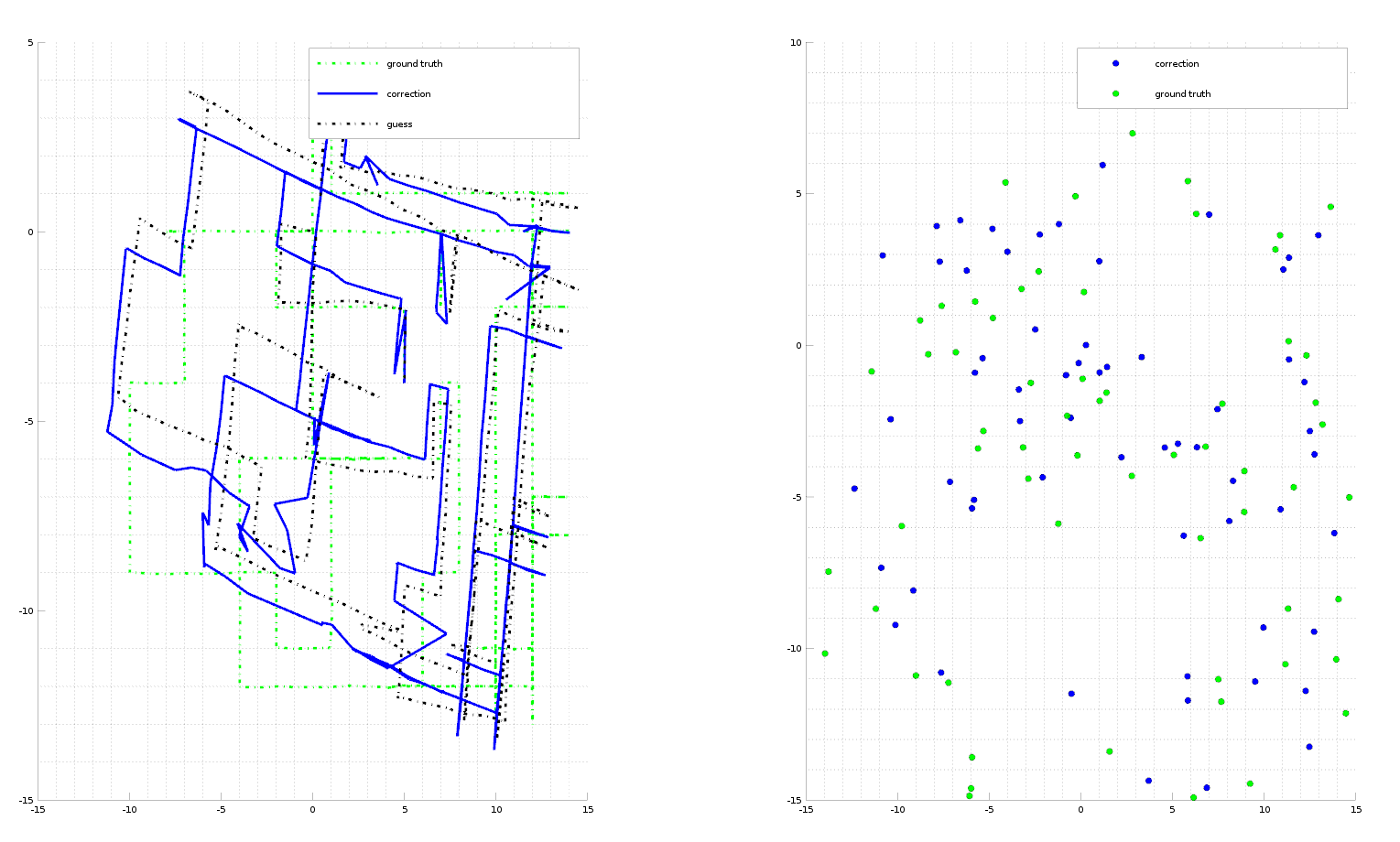
The goal of this project is to optimize the trajectory and the map generated by a unicycle-like robot. The robots moves in the map and it's equipped with a range sensor which can sense the radial distance of landmarks. We know the matching range-landmark_id but the global position of the robot and the global position of the landmark must be corrected using a multipoint ICP.
- First we need to generate an initial guess of the position in world frame of the landmark, so a triangulation procces is launched. This will give a "guess" on the position of the landmarks.
- Second phase is the ICP algorithm. This is a repetitive optimization algorithm which aims to converge both robot poses and landmark position based on the range measurements.
- Generation of the resulting plot.
octave main.mClick on the image for complete video

No report, sorry.


