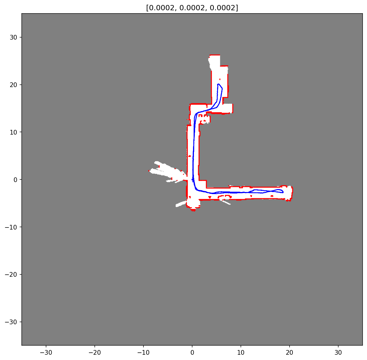
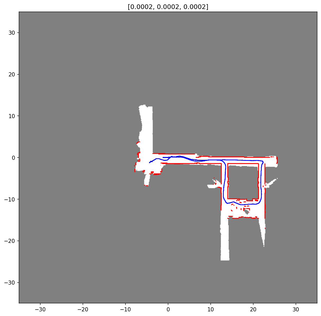
Use a robot to map out indoor environment using Simultaneous Localisation & Mapping (SLAM). Full details can be found in Project Report.pdf.
Example results:
- Put training data files (encoder, lidar, imu) into folder 'test'
- In your terminal, run: python slam.py <encoder_filename> <lidar_filename>
- For example: python slam.py Encoders20.mat Hokuyo20.mat

