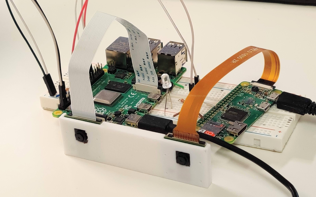
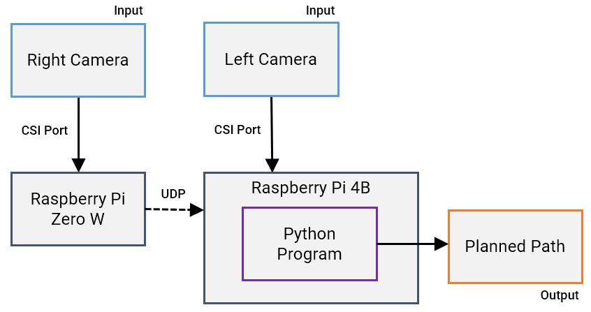
This program is for a stereo camera device, and enables real-time path planning and obstacle avoidance for robotic vehicles. The code implements OpenCV with Python for camera calibration, stereo correspondence, 3D reconstruction, and pathfinding.
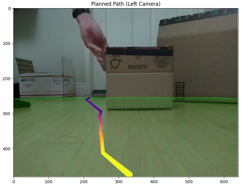
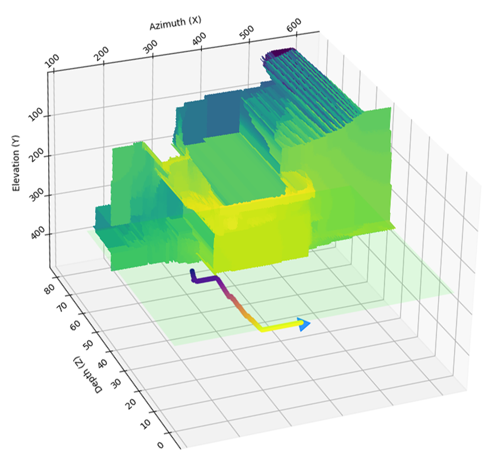
The input images are first rectified from camera calibration parameters before using OpenCV's StereoSGBM algorithm to compute the disparity map. The disparity map is then reprojected to a 3D space in the world coordinate system for obstacle filtering. Obstacles located above the floor plane are used to construct an occupancy grid. The A* pathfinding algorithm operates on the occupancy grid, with the end node determined by the furthest depth value with the shortest Euclidian distance from unified camera's principal point. The computed A* path is then back-projected to 2D image coordinates and overlaid on the unrectified left camera image.


