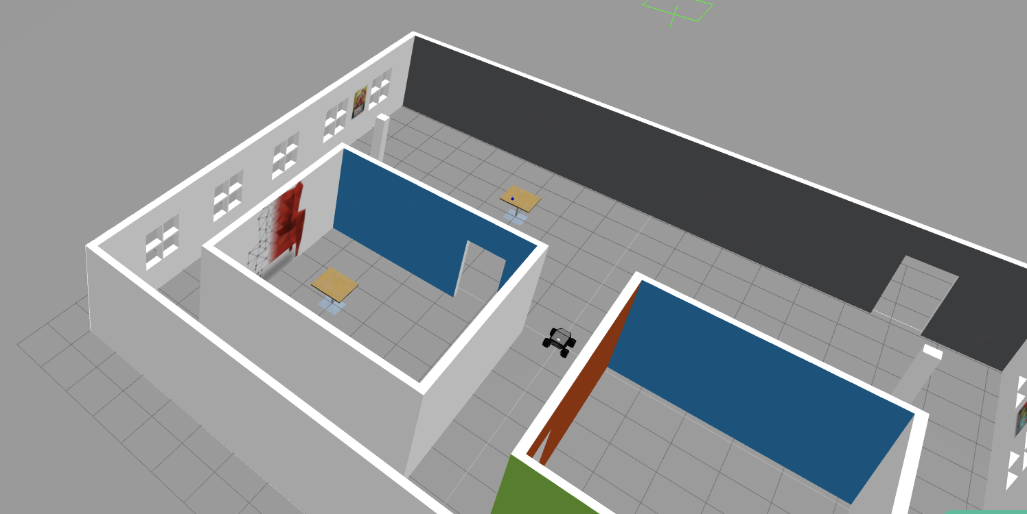
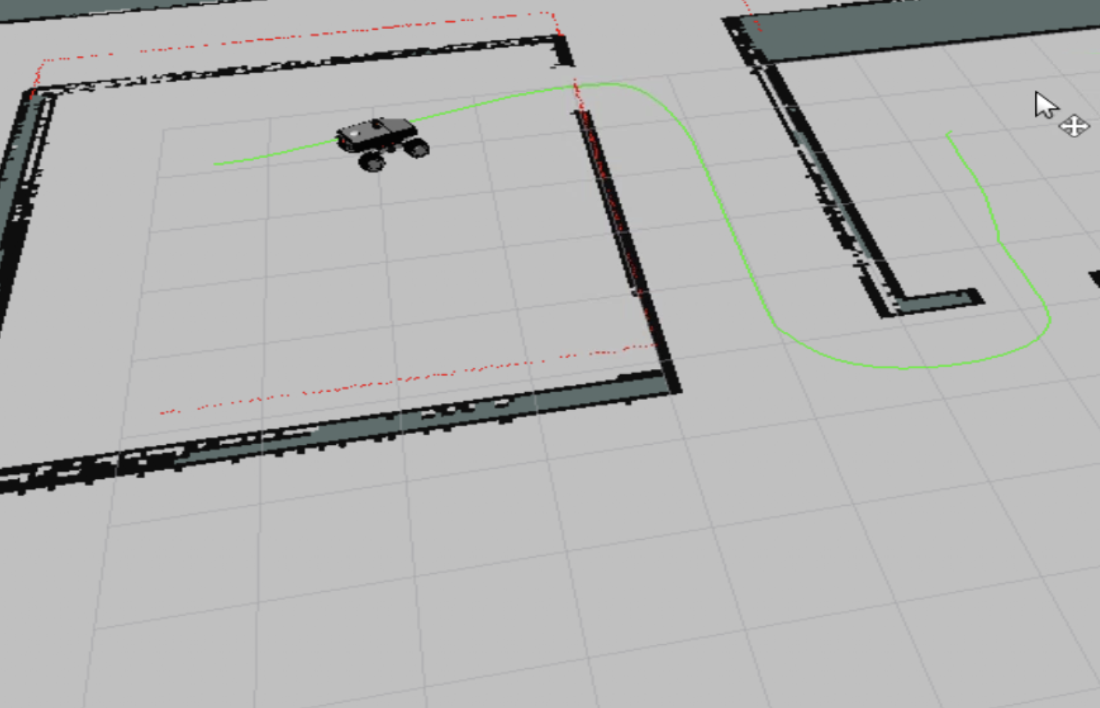
Navigation of the Summit Robot, performing Mapping, Localization, Path Planning, and Obstacle Avoidance.
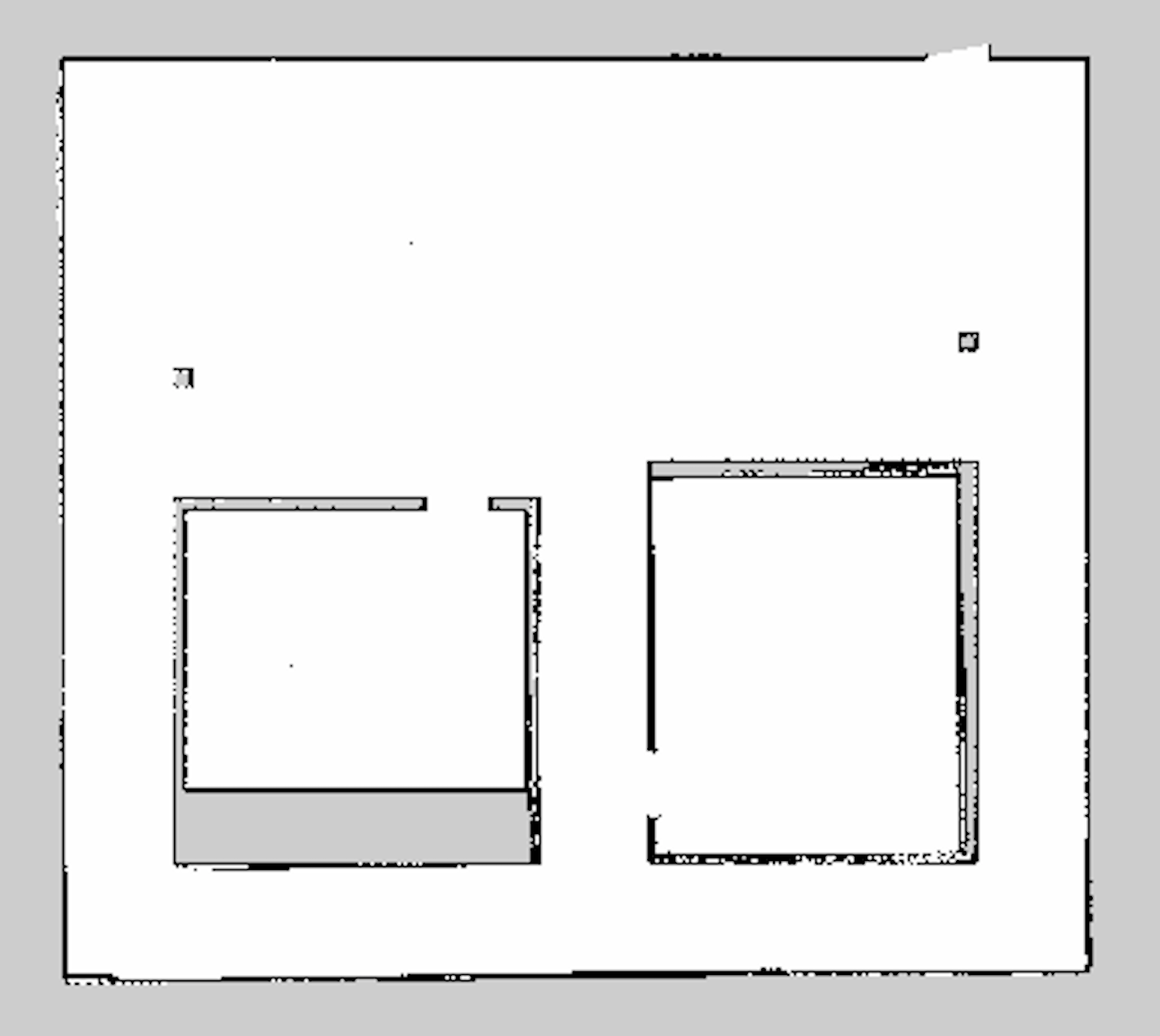
- Used the Hokuyu Laser of the Summit for creating Map.
- Performed gmapping and created a map of the environment and saved it in the maps folder.
- Created a package which provides the so created map to the localizer and path planner.
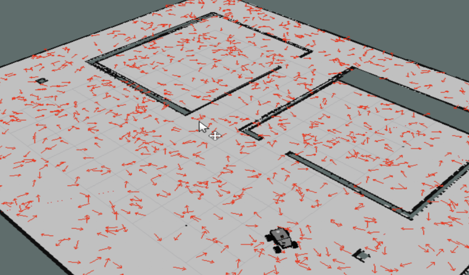
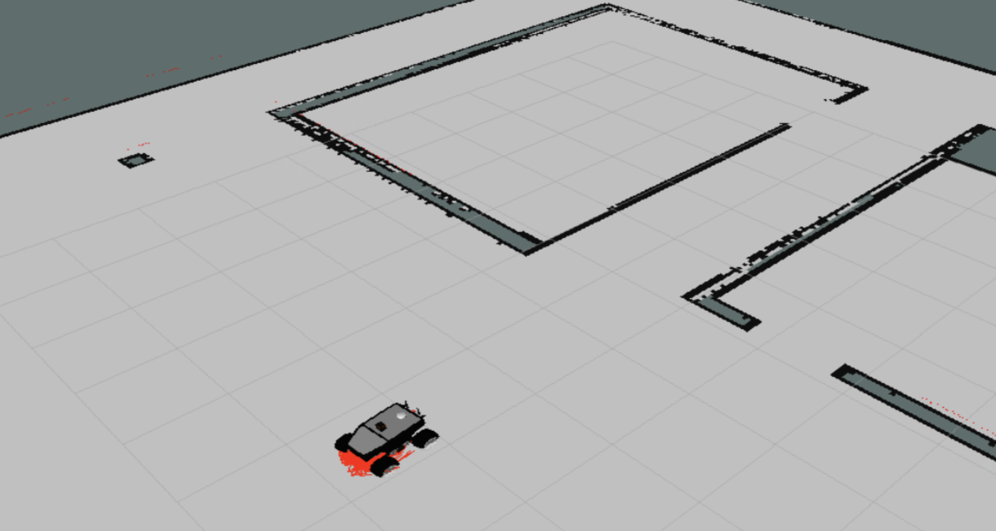
- Used the map generated in the mapping part and used the map-server node for monte carlo localization(amcl).
- Started with a random distribution of the particles predicting the position of the robot and localized the summit, after serious amount of teleoperation.
- Created a custom service which registers into a file, label and their respective pose(positional and orientational) used to store some spots of the environment.
- Used the map generated in the mapping part and the amcl launch file from the previous parts.
- Launched a move_base node with common parameters.
- Performed autonomous navigation using Navfn global planner which uses Dijkstra's Algorithm.
- Used DWA local planner
